According to the National Center for Hydro-Meteorological Forecasting, in the afternoon of May 3rd, cold air will first affect the mountainous and Northeast areas, then expand to the entire Northern and North Central regions, and some places in the Central Central region. Wind turns Northeast at level 2-3, coastal areas at level 3-4.
Due to the impact of cold air, the North maintains a cool weather state, with common temperatures of 23–26 degrees Celsius. From the afternoon and night of May 3rd, the North Central region will also cool down. During this period, the lowest temperature in the Northeast will fluctuate from 19–22 degrees Celsius, mountainous areas in some places below 19 degrees Celsius; North Central region is commonly 21–24 degrees Celsius.
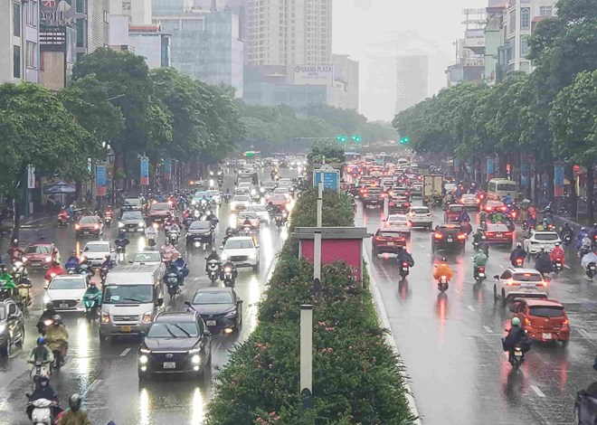
In Hanoi, from the afternoon and night of May 3rd, there will be rain, moderate rain and thunderstorms, locally heavy to very heavy rain; cool weather with the lowest temperature around 20–22 degrees C.
It is noteworthy that during the day and night of May 3rd, the Northern region and Thanh Hoa have rainfall of 20–40 mm, in some places over 90 mm. From the afternoon of May 3rd to the morning of May 4th, the area from Nghe An to Hue has scattered showers and thunderstorms, rainfall of 10–30 mm, locally over 70 mm.
The meteorological agency warns that in thunderstorms, there is a high possibility of tornadoes, lightning, hail and strong gusts of wind, potentially causing damage to agricultural production, infrastructure and housing. Localized heavy rain may cause flash floods on small rivers and streams, landslides in mountainous areas and flooding in low-lying areas.
At sea, from the evening and night of May 3rd, the area of the Northern Gulf of Tonkin will have strong Northeast winds of level 5, sometimes level 6, gusts of level 7, waves 1.5–2.5 m high, rough seas. From near dawn May 4th, the sea area northeast of the Northern East Sea area will have strong winds of level 6, gusts of level 7–8, waves 2–3 m high.
People and tourists need to proactively monitor weather developments, and be wary of accompanying extreme phenomena. Should bring umbrellas and raincoats when going out to prevent sudden weather changes.


