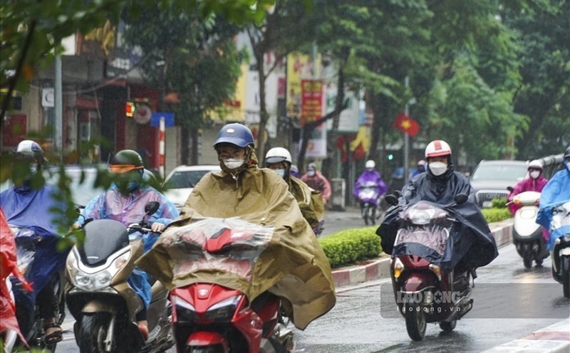
According to information from the National Center for Hydro-Meteorological Forecasting, last night and early this morning (May 3), the Northern region recorded moderate rain, with heavy to very heavy rain in some places.
Rainfall measured from 7:00 p.m. on May 2 to 8:00 a.m. on May 3 at some stations exceeded the threshold of 50mm, notably Bac Giang (Bac Ninh) reached 96.3mm, Xuan Dinh (Hanoi) 66.4mm and Phu Cuong (Thai Nguyen) 58.4mm.
Forecast for the day and night of May 3rd, the North and Thanh Hoa area will continue to have rain, moderate rain and scattered thunderstorms, with common rainfall from 20 - 40mm, locally over 90mm.
From the afternoon of May 3rd to the morning of May 4th, the area from Nghe An to Hue will experience showers and thunderstorms, rainfall fluctuating from 10 - 30mm, in some places exceeding 70mm.
Meteorological experts warn that during thunderstorms, there is a possibility of tornadoes, lightning, hail and strong gusts of wind.
These extreme weather phenomena can cause significant damage to agricultural production, causing trees to fall, houses, traffic works and infrastructure to be damaged.
At the same time, localized heavy rain poses a high risk of flash floods on small rivers and streams, landslides in hilly areas and flooding in low-lying areas.
The level of natural disaster risk due to tornadoes, lightning and hail is currently assessed at level 1.
In the Hanoi area, in the past 3 hours, satellite image monitoring, lightning positioning data and weather radar showed that many areas such as Trung Da, Kim Anh, Noi Bai, Soc Son, Da Phuc, Phuc Yen, Quang Minh, Yen Lang, Me Linh, Phuc Loc, Tung Thien, Bat Bat, Suoi Hai and Ba Vi have experienced showers, sometimes accompanied by thunderstorms.
It is forecasted that in the next 30 minutes to 4 hours, convective cloud areas will continue to develop, causing showers and thunderstorms, locally heavy rain in the above-mentioned areas, then it is likely to spread to other areas of the city.
People need to pay special attention to the risk of tornadoes, lightning, hail and strong gusts of wind during thunderstorms.
The level of natural disaster risk in Hanoi is also determined at level 1.
The meteorological agency recommends that people regularly follow updates and proactively take preventive measures to minimize damage caused by extreme weather.
For current tourists, in complex weather conditions, they should limit travel to hilly areas, riverside areas or places with high risk of landslides.
Tourists visiting Hanoi and the Northern provinces need to closely monitor weather information, bring raincoats, necessary protective equipment and stay in safe areas when thunderstorms and lightning appear. Proactively adjusting the itinerary will help ensure safety and avoid unnecessary risks on the journey.


