New level 8 tropical depression appears in the East Sea

Chí Long |

Weather forecast at 13:00, the center of the tropical depression is at about 12.3 degrees North latitude, 112.0 degrees East longitude, in the area northwest of Truong Sa archipelago.

According to the forecast from the National Center for Hydro-Meteorological Forecasting, the strongest wind near the center of the tropical depression is level 6 (39-49km/h), gusting to level 8. The tropical depression moves northwest at a speed of 5-10km/h.

Forecast until 13:00 on February 13, the low pressure will move northwest at a speed of about 5km/h. The center of the low pressure will be at 13 degrees North latitude - 111.3 degrees East longitude, in the sea area west of the central East Sea. The strongest wind near the center of the low pressure will be level 6, gusting to 8. Disaster risk level: level 3 for the west of the central East Sea; offshore waters from Binh Dinh to Khanh Hoa.
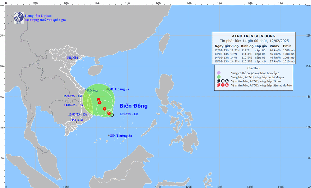
Huong di cua ap thap nhiet doi tren Bien Dong. Anh: Trung tam Du bao Khi tuong Thuy van quoc gia
The direction of the tropical depression in the East Sea. Photo: National Center for Hydro-Meteorological Forecasting

At 1:00 p.m. on February 14, the low pressure moved northwest at a speed of about 5 km/h. The center of the low pressure was located at 14 degrees North latitude - 110.0 degrees East longitude, in the offshore waters from Quang Ngai to Phu Yen. The strongest wind near the center of the low pressure was level 6, gusting to 8. Disaster risk level: level 3 for the western part of the Central East Sea, offshore waters from Quang Ngai to Phu Yen.

Warning from the next 48 to 72 hours, the tropical depression moves slowly in the North-Northwest direction and gradually weakens.

Forecast for the western sea area of ​​the Central East Sea and the southwestern sea area of ​​the North East Sea. The offshore sea area from Binh Dinh to Khanh Hoa has showers and heavy thunderstorms, strong winds of level 6, gusts of level 8, rough seas.

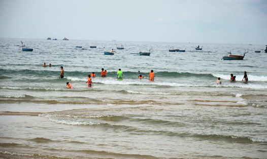
Bai bien Long Thuy (xa An Phu, TP. Tuy Hoa) sau mot tran mua loc nam 2022. Anh: Phuong Uyen
Long Thuy beach (An Phu commune, Tuy Hoa city) after a tornado in 2022. Photo: Phuong Uyen

The western sea area of ​​the Central East Sea and the southwestern sea area of ​​the North East Sea (including the Hoang Sa archipelago) have waves 2.0-3.5m high. From February 14, the offshore sea area from Thua Thien Hue to Binh Dinh has waves 2.0-3.0m high.

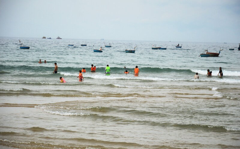
Under the influence of the tropical depression, people and tourists traveling from Quang Ngai to Phu Yen should pay attention to weather forecasts.

Please check flight schedules, update the latest announcements from airlines, road or water transport units; arrange a suitable schedule to proactively plan when storms affect traffic.

Chí Long
TIN LIÊN QUAN

Bad weather forecast due to low pressure in the East Sea

|

Due to the influence of the low pressure trough, the sea area from Quang Ngai to Ba Ria - Vung Tau is forecast to have heavy rain, strong winds, and rough seas.

Heavy rain forecast due to low pressure area in East Sea

|

Weather forecast for scattered showers and thunderstorms due to the influence of low pressure trough over the East Sea in the Central and Southern East Sea area (including Truong Sa archipelago).

Weather forecast today 4.1: Low pressure causes rain in the South and Central regions

|

Weather forecast for today, January 4, many areas in the South and Central regions continue to have heavy rain due to the influence of low pressure.

Bad weather forecast due to low pressure in the East Sea

Thanh Trà |

Due to the influence of the low pressure trough, the sea area from Quang Ngai to Ba Ria - Vung Tau is forecast to have heavy rain, strong winds, and rough seas.

Heavy rain forecast due to low pressure area in East Sea

Thanh Trà |

Weather forecast for scattered showers and thunderstorms due to the influence of low pressure trough over the East Sea in the Central and Southern East Sea area (including Truong Sa archipelago).

Weather forecast today 4.1: Low pressure causes rain in the South and Central regions

MINH ANH |

Weather forecast for today, January 4, many areas in the South and Central regions continue to have heavy rain due to the influence of low pressure.