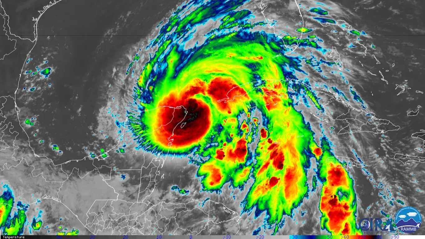
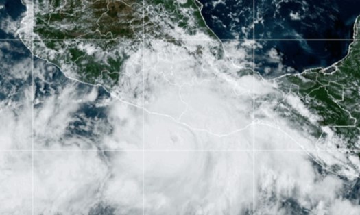
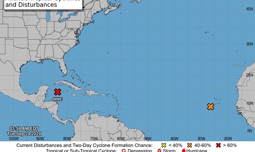
According to the warning of the US National Oceanic and Atmospheric Administration NOAA, on the evening of September 25 (local time), Hurricane Helene will move through the eastern Gulf of Mexico and then cross the coast of Big Bend, Florida. The strongest winds will remain at 140 km/h and will continue to increase.
The Gulf of Mexico is currently recording a high sea surface temperature (SST) of 26 degrees Celsius. This warmth is directly causing Helene to become stronger.
The US National Hurricane Center (NHC) has also warned of the possibility of rapid strengthening of Hurricane Helene as it moves through this warm water.
The storm is forecast to reach catastrophic Category 4 strength when it makes landfall in Florida. Hurricane warnings have been issued for much of the Big Bend area along Florida's west coast.

After making landfall, the storm is expected to weaken but still pose a significant threat to the southeastern United States. As it weakens, the storm will move further inland and north. During this time, an existing low pressure area will begin to interact with the weakening storm.
This is when the Fujiwara effect may kick in. This is a meteorological phenomenon in which two low-pressure systems interact. When two or more low-pressure systems get close enough, they rotate around each other, causing significant changes in intensity and path that can have a major impact on local weather.
Two low pressure areas can rotate around a central point in between them, creating a larger area of influence, or they can merge if they are close enough and form a large storm.
In the case of Hurricane Helene, a nearby low pressure system to the south could interact with Helene as it moves toward Florida, potentially causing a Fujiwara effect.
If it interacts with another low pressure system along its path, the storm could change direction, bringing heavier than expected rainfall or causing widespread strong winds.
If you are planning to travel to Florida or surrounding areas in the coming days, pay close attention to weather reports and follow the instructions of local authorities. Consider postponing or canceling your trip if your itinerary coincides with a hurricane making landfall.


