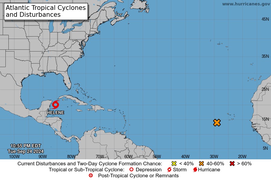
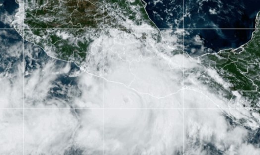
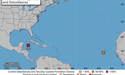
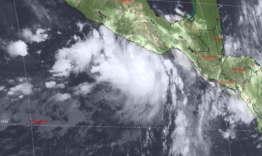
The US National Hurricane Center (NHC) has just released the latest information on the location and progress of Hurricane Helene, issuing many warnings and storm watches for the Southeast region of the US, especially Florida.
At 10:00 p.m. on September 24 (local time), the center of hurricane Helene was determined to be located about 160 km northeast of Cozumel, Mexico and about 230 km southwest of the western tip of Cuba.
The storm is moving west-northwest at about 17 km/h, with maximum sustained winds of 95 km/h.

Forecasts show Helene moving near the northeastern coast of the Yucatan Peninsula early on Thursday (local time), then moving across the eastern Gulf of Mexico over the next 24 to 48 hours. The storm is expected to eventually make landfall on Florida’s Big Bend coast late on Friday.
The NHC also noted that Helene could continue to strengthen into a hurricane, and will continue to rapidly intensify while moving over the Gulf of Mexico and become a major hurricane by September 26.
In response, the NHC has issued several warnings for several areas, including a storm surge warning from Indian Pass to Flamingo, Florida, including Tampa Bay and Port Charlotte.
Hurricane warning from Anclote River to Mexico Beach, Florida.
Tropical storm warnings for parts of Florida, including the Florida Keys and Lake Okeechobee.
Hurricane Helene is forecast by the NHC to bring heavy rain, with expected rainfall ranging from 100 to 200mm, with some places reaching over 300mm, causing the risk of flash floods and urban flooding.
Storm surge is expected to reach 3-4.5 meters in some areas of Florida.
Additionally, hurricane-force winds are expected to impact the warning area late on September 26, and the risk of tornadoes will also increase during this time, affecting Florida and parts of Georgia and South Carolina.
According to CNN, evacuation advisories were issued on September 24 (local time) for residents and visitors in some coastal areas of Florida - an area facing rising sea levels. Florida officials ordered mandatory evacuations in some areas in seven counties, including Pinellas, Hernando, Charlotte, Gulf, Manatee and Sarasota; and all of Franklin, Wakulla and Taylor counties.
If you are planning to travel to Florida or surrounding areas in the coming days, be sure to closely monitor weather reports and follow guidance from local authorities.
Consider postponing or canceling your trip if your itinerary coincides with a storm making landfall.
If you are in the affected area, be prepared to evacuate if required. Avoid swimming or surfing in rough sea conditions.
Prepare enough drinking water, non-perishable food and other essentials in case of prolonged power or water outage.


