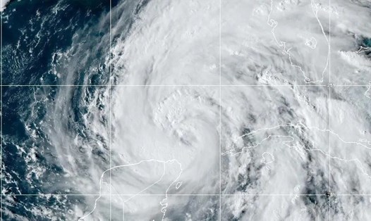
According to the latest bulletin from the US National Hurricane Center (NHC), Helene is currently an extremely dangerous Category 4 storm with maximum sustained winds of up to 225 km/h.
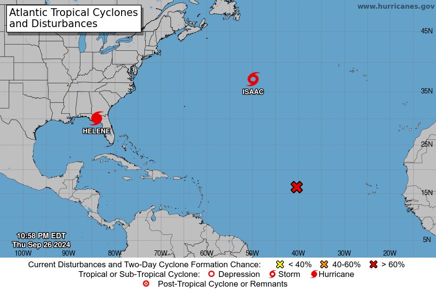
At 11:10 p.m. on September 26 (local time), the center of hurricane Helene was determined to be about 120 km north of Cedar Key, Florida and 70 km southeast of Tallahassee.
The storm is moving northeast at 24 mph. Hurricane Helene made landfall in northwest Florida as a Category 4 storm, with forecasters warning of “catastrophic” flooding along the Gulf Coast.
More than 1 million people in Florida and more than 50,000 in Georgia were without power as high winds and heavy rains lashed the states.
Experts warn of the risk of life-threatening storm surges, with water levels expected to rise as high as 4.5-6 metres in some coastal areas.
The area from Carrabelle to the Suwannee River, Florida is expected to be hardest hit.
In addition to storm surge, Helene will also bring heavy rains that will cause severe flooding. Rainfall is forecast to be 150-300m), with some areas reaching 500mm, potentially causing life-threatening flash floods and urban flooding. Heavy rains pose a significant risk of landslides in the southern Appalachian Mountains.
A hurricane warning has been issued for the area from Anclote River to Mexico Beach, while a tropical storm warning is in effect for several other areas including the Florida Keys, Tampa Bay and Lake Okeechobee.
Strong winds and gusts are expected to affect the following areas inland.
At Cedar Key, sustained winds of 65 mph with gusts of up to 85 mph were recorded. Water levels rose 7 feet above average.
In Steinhatchee, Florida, wind gusts reached 83 mph.
Hurricane Helene also brought a tornado threat to parts of northern and central Florida, Georgia, South Carolina and southern North Carolina. The impact continued to spread into the Carolinas and southern Virginia on September 27.
Large swells generated by Helene will impact much of the Florida, Georgia and Carolina coasts in the coming days, causing dangerous surf conditions and strong currents.
Experts stress that this is a serious life-threatening situation.
Tourists planning to visit the above areas in the coming days should consider canceling their trips to ensure safety.
Residents and visitors in the affected areas should take all necessary measures to protect life and property, strictly follow evacuation instructions and directions from local authorities.
Authorities are closely monitoring the storm's developments and will provide updates in the coming hours.