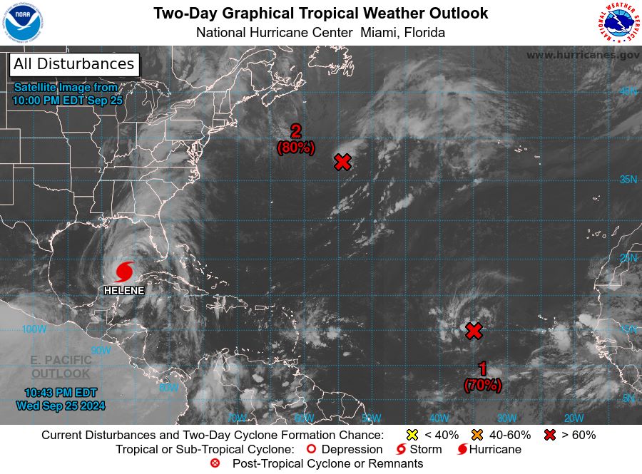
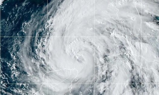
Hurricane Helene is rapidly strengthening as it approaches Florida's Gulf Coast, weather experts have issued an emergency warning.
Bryan Norcross, former FOX Weather forecaster, analyzed the storm's progress and emphasized that September 26 is the last day for Florida residents to prepare for the impacts of natural disasters and storms.
Hurricane Helene is expected to make landfall in Florida on September 27 south or southeast of Tallahassee as a Category 3 storm, with the potential to strengthen to a Category 4 storm (winds of 130-155 mph).

The storm’s large size increases the threat level, with impacts expected across the state of Florida. Dangerous impacts will begin late on September 26 (local time), spreading from south to north along the Florida peninsula.
One of the main threats is storm surge, which is expected to rise along the coast, including the Big Bend area southeast of Tallahassee, down to Nature Beach near Tampa, Bryan said.
The area around Tampa Bay could see water levels rise 5 to 8 feet above normal high tide.
Strong winds are also a serious threat, with hurricane-force winds possible in the warning areas. Tropical storm-force winds are expected to cause widespread power outages.
Additionally, heavy rains could lead to significant flooding in inland areas, with impacts potentially extending into Georgia, South Carolina, North Carolina and Tennessee.
The Tampa Bay area is particularly vulnerable to storm surges, so experts recommend that residents closely follow local evacuation orders.
Areas west of Panama City in the Florida Panhandle may be spared the worst impacts, but should still remain vigilant.
Inland Florida from Orlando north, high winds could cause power outages and tree damage.
Today is a crucial day for final preparations, Norcross stressed. He advised residents to follow all evacuation orders, fully charge all electronic devices, and protect important documents in waterproof containers.
Stock up on food, water and essential medications, fill bathtubs and large containers with water for use after the storm, secure outdoor items and prepare for the possibility of a power outage.
“What you do today can have a big impact on how comfortable your life is after the storm passes. Now is the time to act,” he warned.
As Hurricane Helene continues to strengthen and become more complex, travelers planning to visit Florida (USA) and neighboring areas should consider canceling or postponing their trips to ensure safety.
If you are in an affected area and cannot evacuate, stay updated with weather information and strictly follow the instructions of local authorities.
Helene's path remains uncertain, with a slight shift eastward that could bring more severe conditions to a large portion of Florida's west coast.
As Helene approaches, Floridians face a tense 24 hours of preparation and waiting. The storm's unusual size and ability to rapidly intensify make it a particularly dangerous threat, even for a state accustomed to hurricanes.


