Storm No. 5 Ernesto continues to increase in level, visitors to this area should be careful

NGUYỄN ĐẠT |

Storm No. 5 Ernesto in the Atlantic continues to strengthen and have a strong impact on some areas this storm swept through.

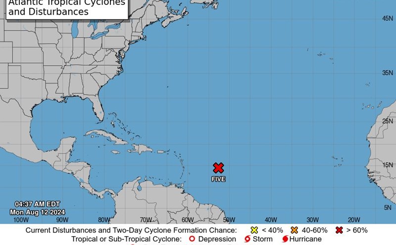
According to the latest storm information from the US National Hurricane Center (NHC), at 5:00 a.m. on August 13, 2024 (Eastern US time), tropical storm Ernesto is active near the Leeward Islands (Northern Lesser Antilles island chain). on the Atlantic Ocean.

The current location of the storm is about 16.2 degrees North latitude and 61.3 degrees East longitude, about 15 km southeast of the French archipelago of Guadeloupe.

Forecasts indicate that Hurricane Ernesto will continue to impact parts of the Leeward Islands, and is likely to pass over or near the US and British Virgin Islands, as well as Puerto Rico, tonight.

Current location of hurricane Ernesto. Photo: NHC/NOAA

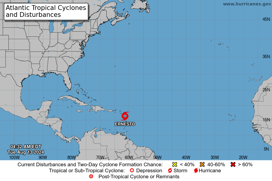
After sweeping through these areas, storm Ernesto is expected to move north, through the Western Atlantic region.

Hurricane Ernesto's sustained winds currently reach about 65 km/h, with stronger gusts.

It is forecast that the storm may gradually strengthen in the next few days and continue to increase in level, causing phenomena such as gusts of wind, heavy rain, large waves and rising tides.

Faced with the above complicated weather situation, tourists currently present or planning to visit areas affected by Hurricane Ernesto should closely monitor announcements and warnings from local weather agencies to stay informed. Get the most updated situation.

Prepare for power outages and infrastructure problems that storms may cause. Update your travel plans and have alternatives if necessary to avoid hard-hit areas.

NGUYỄN ĐẠT
TIN LIÊN QUAN

Bão chồng bão ở Nhật Bản, áp thấp mới thành bão sau bão số 5 Maria

NGUYỄN ĐẠT |

Bão Maria suy yếu sau khi gây mưa kỷ lục ở khu vực Tohoku khiến nhiều địa phương ngập lụt nghiêm trọng. Trong khi đó bão Ampil đang tiến gần Nhật Bản.

Áp thấp mạnh lên thành bão Ampil, cường độ gió tới 140km/h

NGUYỄN ĐẠT |

Theo tin bão mới nhất, áp thấp gần Biển Đông đã mạnh lên thành bão nhiệt đới Ampil, hướng đến Nhật Bản.

Bão nhiệt đới số 5 tiềm tàng ảnh hưởng đến khu vực nào?

NGUYỄN ĐẠT |

Các cơ quan khí tượng đang theo dõi một áp thấp có khả năng phát triển thành bão số 5 Ernesto trên Đại Tây Dương.

Storm on top of storm in Japan, new low pressure becomes a storm after storm No. 5 Maria

NGUYỄN ĐẠT |

Typhoon Maria weakened after causing record rain in the Tohoku region, causing serious flooding in many localities. Meanwhile, Typhoon Ampil is approaching Japan.

The low pressure strengthens into storm Ampil, with wind intensity up to 140km/h

NGUYỄN ĐẠT |

According to the latest storm news, low pressure near the East Sea has strengthened into tropical storm Ampil, heading towards Japan.

Tropical Storm No. 5 has the potential to affect which areas?

NGUYỄN ĐẠT |

Meteorological agencies are monitoring a low pressure that has the potential to develop into Storm No. 5 Ernesto in the Atlantic Ocean.