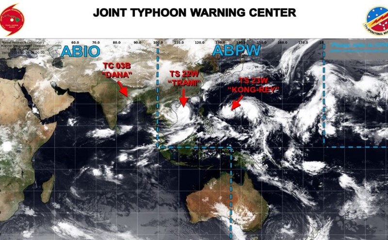
According to the National Center for Hydro-Meteorological Forecasting, at 10 p.m., the center of storm No. 6 was at about 16.9 degrees North latitude; 110.1 degrees East longitude, about 220 km East Northeast of Da Nang.
The strongest wind speed reaches level 10-11 (89-117km/h), gusting to level 14. In the next 3 hours, the storm will move in the West Southwest direction, at a speed of about 20-25km/h.
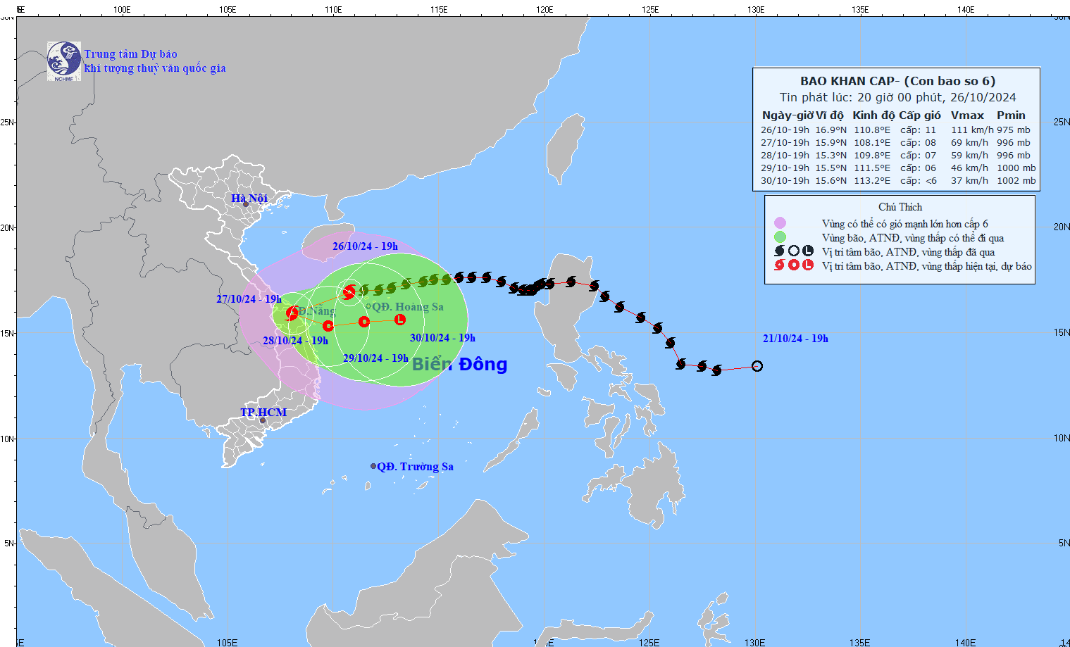
By the evening of October 27, the storm center was at about 15.5 degrees North latitude - 108.8 degrees East longitude; in the area of Quang Tri - Quang Nam provinces. At this time, the wind speed reached level 7, gusting to level 9.
Meteorologists predict the storm will move west southwest then south southeast, at about 15km/h, weakening into a tropical depression.
On October 28, the storm moved to the South-Southeast direction then turned East, about 5km/h, weakening into a tropical depression. The center of the depression was at about 15.3 degrees North latitude - 110.0 degrees East longitude; in the sea off the Central Central region. Wind force level 6, gust level 8.
On October 29, the tropical depression continued to move eastward at a speed of about 10km/h in the southern area of the Hoang Sa archipelago. Winds were below level 6, as the storm weakened into a low pressure area.
From the next 72 to 96 hours, the tropical depression moved mainly to the East at about 10km per hour and gradually weakened into a low pressure area.
From the morning of October 27, on the mainland from Quang Binh to Quang Ngai, the wind will gradually increase to level 6-7, gusting to level 8-9; near the storm center, level 8, gusting to level 11.
From the night of October 26 to the night of October 28, in the area from Quang Binh to Quang Ngai, there will be heavy to very heavy rain with total rainfall ranging from 300-500mm, locally over 700mm.
Warning of the risk of localized heavy rain (over 100mm/3 hours). Ha Tinh, Binh Dinh and the Northern Central Highlands will have heavy rain, some places will have very heavy rain with total rainfall ranging from 100-200mm, some places over 300mm.
The western sea area of the North East Sea has strong winds of level 8-9, near the storm center, level 10-11 (89-117km/h), gusts of level 14, waves 3.0-5.0m high, near the storm center, 5.0-7.0m; rough seas.
The sea area of provinces from Quang Binh to Quang Ngai (including Con Co Island, Cu Lao Cham, Ly Son) has strong winds of level 6-7, then increasing to level 8, near the storm's eye level 9-10, gusting to level 12, waves 2.0-4.0m high, near the storm's eye 3.0-5.0m; very rough seas.
From the morning of October 27, coastal areas from Quang Binh to Quang Nam provinces are likely to experience storm surges of 0.4-0.6m high.
Ships operating in the above-mentioned dangerous areas (especially in the Hoang Sa island district), coastal areas from Quang Binh to Quang Ngai are likely to be affected by storms, whirlwinds, strong winds, and big waves.
Residents and tourists need to be aware of the high risk of landslides of sea dykes and embankments along the coast of provinces from Quang Tri to Quang Nam due to the impact of big waves and storm surges.
Experts warn that the development of storm number 6 is still very complicated and may change.
Residents and tourists need to pay attention to weather forecast updates and follow recommendations from local authorities.
For tourists planning to travel to the Central region from October 27 to 28, please pay attention to announcements from airlines, railways, and passenger transport companies to be aware of any changes in schedules. Four airports in Thua Thien Hue, Da Nang, Quang Binh, and Quang Nam will temporarily close due to the storm.

