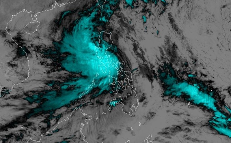
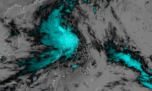
Storm forecast to appear soon after storm number 6 Tra Mi

NGUYỄN ĐẠT |

Typhoon Kong-Rey in the Pacific Ocean is strengthening, forecast to develop into a super typhoon in the coming days.

According to the latest bulletin of the Joint Typhoon Warning Center (JTWC) of the US Air Force and Navy, Tropical Storm Kong-Rey is moving westward over the Pacific Ocean and is showing signs of strengthening in the coming days.

The storm is currently located approximately 240 miles west-northwest of Naval Base Guam.
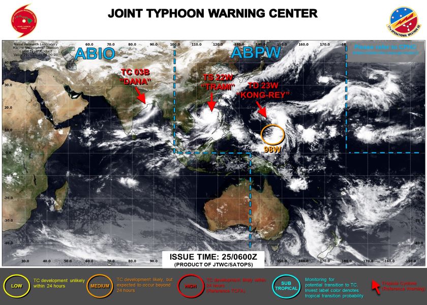
Anh ve tinh cua bao Kong-Rey hien tai. Anh: JTWC
Satellite image of current Typhoon Kong-Rey. Photo: JTWC

Wind speed is about 65 km/h, gusts reach 83 km/h. Maximum wave height due to the storm's influence is about 7.6m.

According to JTWC meteorologists, Kong-Rey is forecast to move west-northwest over the next five days. Notably, the storm's intensity is forecast to increase sharply.

Specifically, in the next 48 hours, maintain tropical storm intensity.

By October 28, the storm is expected to strengthen into a major storm with wind gusts of 138 km/h.

By October 29, it continued to strengthen with gusts of 185 km/h.

It is possible that Kong-Rey could reach super typhoon strength with wind gusts of 212 km/h, if favorable weather conditions converge to form a super typhoon.
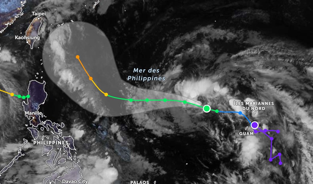
Du bao su phat trien cua bao Kong-Rey. Anh: Zoom Earth
Forecast of the development of typhoon Kong-Rey. Photo: Zoom Earth

Although the impact of typhoon Kong-Rey on the mainland is still unclear, due to the complicated storm situation, tourists planning to go to Taiwan (China), the Philippines and island areas in the Western Pacific in the coming days should pay attention and monitor weather information regularly.

Check flight and cruise schedules near affected areas. Consider adjusting travel plans and preparing a backup plan.

Avoid sea and beach activities and limit travel during bad weather.

NGUYỄN ĐẠT
TIN LIÊN QUAN

Storm No. 6 forecast not to hit Vietnam, returns to Philippines

|

Storm No. 6 Tra Mi moves strangely after entering the East Sea, with the possibility of suddenly changing direction and returning to the Philippines.

Storm No. 6 is unpredictable, which province is most affected?

|

Storm No. 6 entering the East Sea will cause heavy rain in the central provinces. The forecast for this storm is complicated, and its direction may change unusually.

Storm No. 6 has not dissipated, 2 new low pressure areas have appeared

|

While storm No. 6 is developing complicatedly, the meteorological agency discovered two low pressure areas forming near the Philippines.

Storm No. 6 forecast not to hit Vietnam, returns to Philippines

Thanh Trà |

Storm No. 6 Tra Mi moves strangely after entering the East Sea, with the possibility of suddenly changing direction and returning to the Philippines.

Storm No. 6 is unpredictable, which province is most affected?

Chi trần |

Storm No. 6 entering the East Sea will cause heavy rain in the central provinces. The forecast for this storm is complicated, and its direction may change unusually.

Storm No. 6 has not dissipated, 2 new low pressure areas have appeared

Thanh Trà |

While storm No. 6 is developing complicatedly, the meteorological agency discovered two low pressure areas forming near the Philippines.