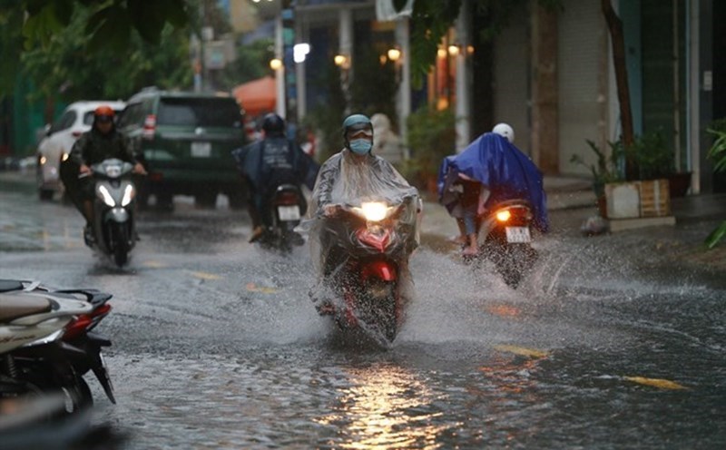
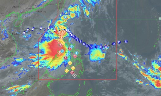
According to the latest information from the Philippine Atmospheric, Geophysical and Astronomical Services Administration (PAGASA), Typhoon Tra Mi (international name: Trami, local name in the Philippines: Kristine) maintained its intensity on October 25. The storm is forecast to leave the Philippine Area of Responsibility (PAR) this afternoon.
Experts forecast the storm will move west-northwest to west in the next 48 hours. The center of the storm is located about 125km northwest of Bacnotan, La Union, Philippines, with maximum sustained winds near the center reaching 95km/h and gusts up to 115km/h.
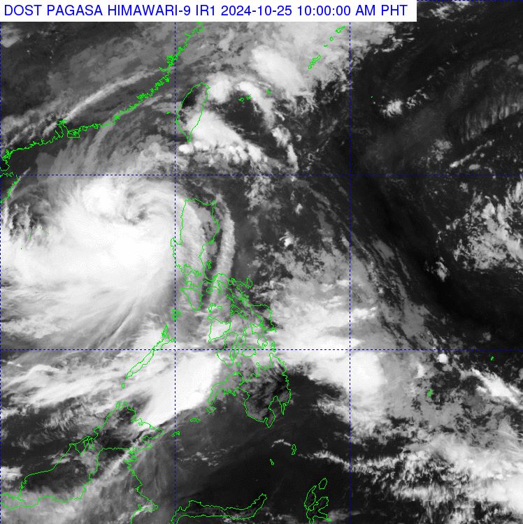
According to the National Center for Hydro-Meteorological Forecasting, at 10:00 a.m. on October 25, the center of the storm was located at about 17.4 degrees North latitude; 118.0 degrees East longitude, in the eastern sea of the North East Sea. The strongest wind near the center of the storm was level 10 (89-102 km/h), gusting to level 12. Moving in the West Northwest direction, speed about 15 km/h.
During the day and night of October 25, there will be storms in the North East Sea. In the Central and South East Sea (including the waters of the Truong Sa archipelago), there will be scattered showers and thunderstorms. There is a possibility of tornadoes and strong gusts of wind during thunderstorms.
Day and night of October 26, in the North East Sea area (including the sea area of Hoang Sa archipelago), strong winds level 9-10, near the storm center level 11-12, gusting to level 15; waves 6-8m high, near the storm center 8-10m; rough seas.
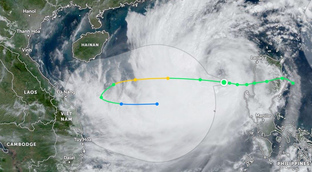
At 10:00 a.m. on October 27, the storm center was at about 16.8 degrees north latitude - 109.8 degrees east longitude; in the area west of Hoang Sa archipelago, about 200km northeast of Quang Tri - Quang Ngai. The storm moved west-southwest, speed about 15km/h, intensity level 11, gust level 14.
On October 28, the storm center continued to change direction to the Southwest, then to the Southeast, slowing down to 5-10km/h. At around 10am on October 28, the storm center was located at 15.9 degrees north latitude - 109.6 degrees east longitude; in the sea off the Central Central Coast. Intensity level 10, gust level 12.
According to forecast models, storm Tra Mi is likely to change direction as it approaches land. However, the storm's path is uncertain as many weather patterns occur at the same time, such as cold air and high pressure from the North...
If you are in an affected area, you should regularly monitor weather information and warnings from local authorities. Prepare essential items and food. Avoid going out during storms and avoid areas at risk of flooding and landslides.
Residents and visitors should regularly check the status of flights and public transportation.


