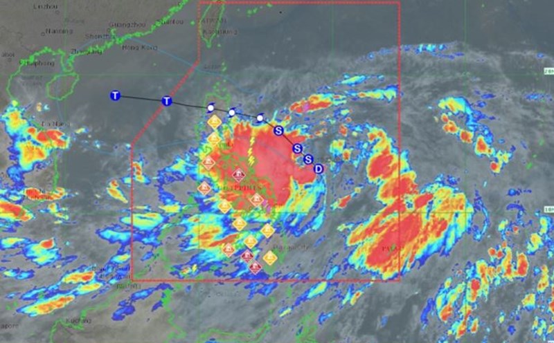
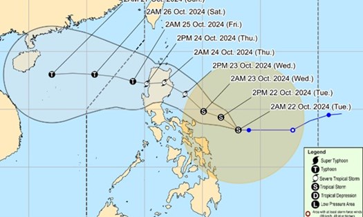
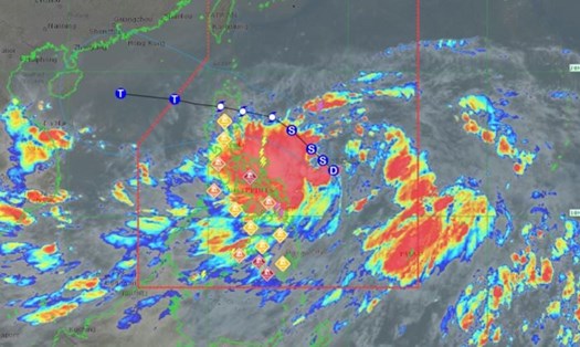
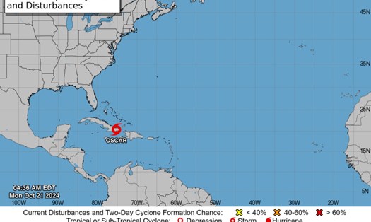
According to the latest news from the Philippine Atmospheric, Geophysical and Astronomical Services Administration (PAGASA), at 3:00 a.m. on October 22, tropical storm Tra Mi (international name Trami, local name in the Philippines is Kristine) was located at approximately 13.2 degrees North latitude; 127.9 degrees East longitude), about 400km east of Virac, Catanduanes (Philippines).
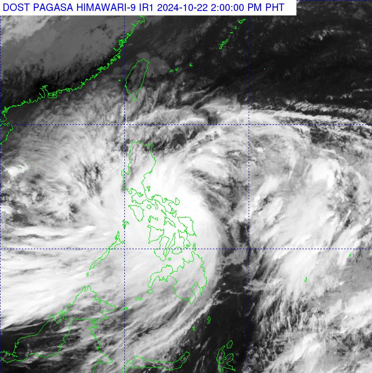
The storm moved west at 15 km/h, carrying maximum winds near the center of 65 km/h and gusts of up to 80 km/h.
PAGASA forecasts that the worst-hit areas include Bicol, Eastern Visayas, Isabela, Quirino, Aurora and Quezon, where residents and tourists should be on guard against heavy to very heavy rains accompanied by strong winds, flash floods and landslides due to the storm.
According to forecast models, after passing through the Philippines, Typhoon Tra Mi will enter the East Sea and may directly affect central Vietnam or the southern coastal areas of China. When entering the East Sea, this will be Vietnam's sixth storm in the 2024 typhoon season.
Meanwhile, the Joint Typhoon Warning Center (JTWC) of the US Air Force and Navy forecast that in the next 24 hours, the storm will continue to move northwest at a speed of 15-20km/h and is likely to strengthen.
At 7:00 a.m. on October 23, the center of the storm was forecast to be at about 15.6 degrees North latitude; 124.3 degrees East longitude, with the strongest wind increasing to level 8 (45 nautical miles/hour), gusting to level 10.
Storm Tra Mi is showing signs of strengthening. It is forecasted that by October 26, the storm will reach its strongest intensity with winds of level 11 (60 nautical miles/hour), gusting to level 13-14. The area of strong winds above level 7 has a radius of 150-200km from the center of the storm.
Given the above weather conditions, JTWC warned vessels operating in the waters east of the Philippines to closely monitor the storm's developments and avoid entering dangerous areas.
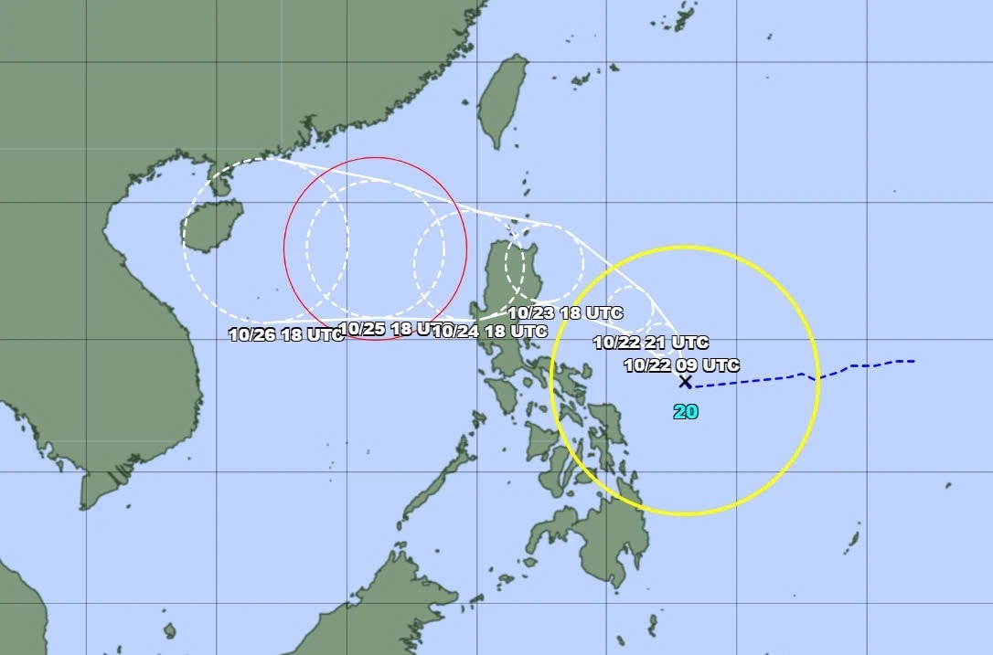
According to the warning graphic from the Japan Meteorological Agency (JMA), storm Tra Mi may make landfall in Vietnam, with the main affected areas being the central provinces on October 27, with average winds near the storm's center of about 90km/h, and maximum winds reaching 128km/h.
Faced with complex weather conditions, residents and tourists in coastal areas need to closely monitor storm information and strictly implement disaster prevention measures, following the instructions of local authorities.


