The National Center for Hydro-Meteorological Forecasting issued a warning about the flood situation in the Northern region on the morning of July 30, 2024. Accordingly, in the next 48 hours, the northern provinces are at risk of facing a new flood.
Currently, the water levels on rivers in the Northern region are rising slowly, mostly still below alert level 1. However, the Day River has already surpassed this threshold.
Forecasts from July 30 to 31 indicate that small rivers and streams in the upstream areas of the Northern region may experience a flood with a range of 1-2 meters. The flood peak on these small rivers and streams is likely to reach alert level 1.
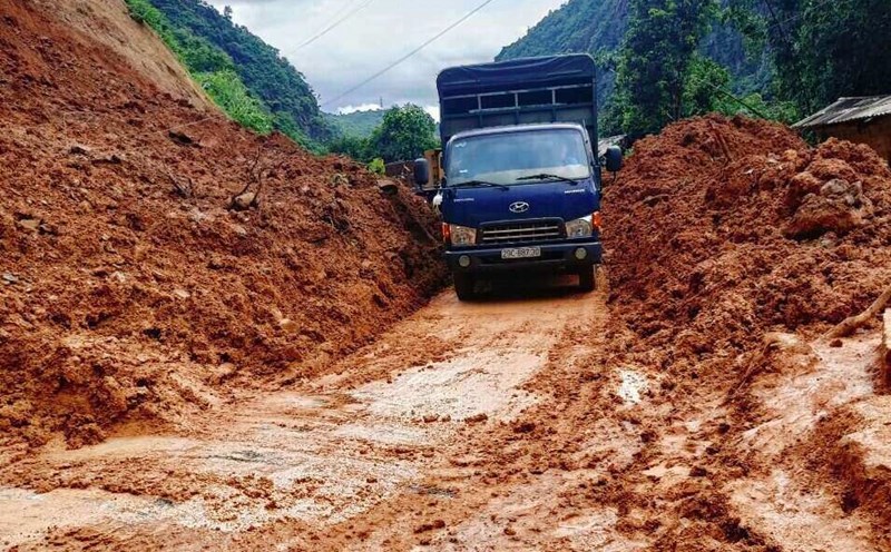
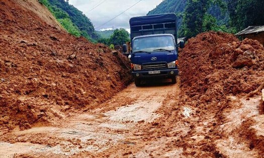
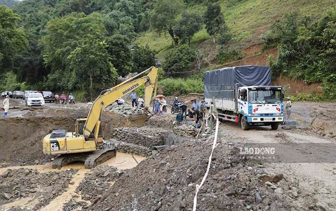
Notably, the risk of flooding in low-lying areas along rivers may persist for many days. At the same time, the mountainous areas of the Northern region face a high risk of flash floods and landslides.
Additionally, due to the impact of localized heavy rain, urban areas and cities in the Northern provinces may also experience flooding.
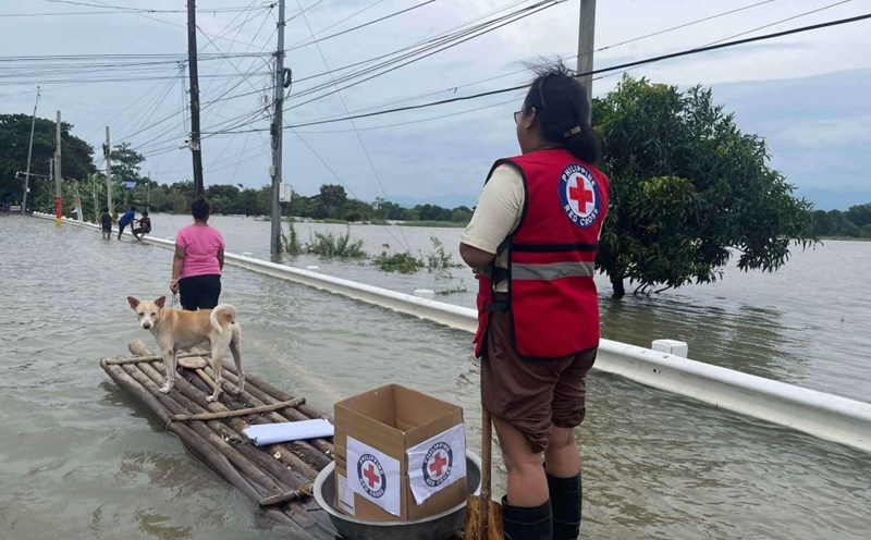
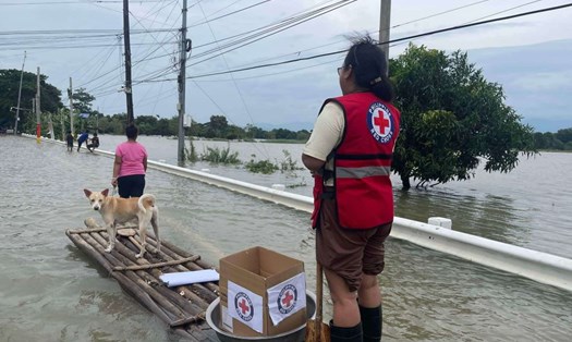
Authorities warn that rising floodwaters will affect many activities such as tourism, waterway transportation, aquaculture, agricultural production, and the lives of residents.
Particularly, the floodwater levels on small rivers and streams in the lower Red River - Thai Binh River basin maintaining high levels for many days may cause riverbank landslides and threaten the safety of dikes, especially in areas along the Day River, Bui River, Tich River, and other places in the Red River - Thai Binh River delta.
By noon on July 30, the National Center for Hydro-Meteorological Forecasting warned that in the next 3-6 hours, the Northern provinces will continue to have rain with accumulated rainfall commonly ranging from 50-80mm, with some places exceeding 90mm.
In the next 6 hours, there is a risk of flash floods on small rivers and streams, landslides on slopes in many mountainous localities in Lai Chau, Dien Bien, Son La, Lao Cai, Yen Bai, Ha Giang, Tuyen Quang, Bac Kan, Thai Nguyen, Cao Bang, Lang Son, Quang Ninh, Bac Giang, and coastal districts in Hai Phong city... such as Cat Hai, Do Son, Kien An.
See more: Recognizing the risk of landslides and flash floods when traveling during the rainy season
Given this situation, tourists planning to travel to the North should be particularly cautious. Experts recommend that tourists regularly monitor weather forecasts and flood warnings. Avoid going into areas at risk of flash floods and landslides.
If planning to visit low-lying areas along rivers or mountainous regions, tourists should consider adjusting their itinerary.
For tourists currently in areas at risk of flooding, it is necessary to prepare a safe evacuation plan. When participating in traffic, especially waterway traffic, pay close attention to safety, especially during the rainy season.
Currently, the disaster risk level due to floods is at level 1, but the situation can change rapidly. Tourists should maintain regular contact with travel agencies or accommodation facilities to get the latest information and timely support if needed.
With these precautions, we hope tourists will have a safe and complete trip to the North in the coming days.