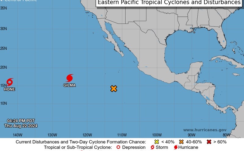
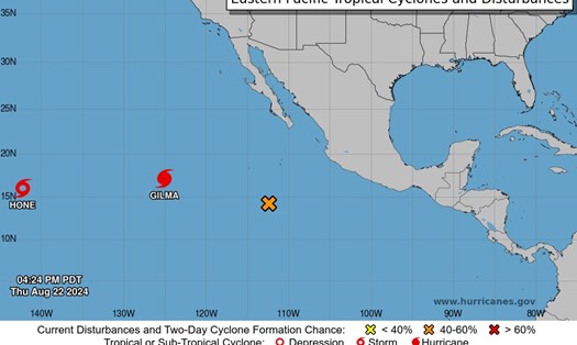
Central Pacific Hurricane Center NWS Honolulu, HI of the US National Hurricane Center (NHC) just released an update on Tropical Storm Hone.
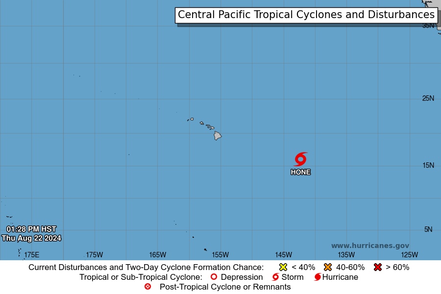
Hurricane Hone is currently a tropical storm with maximum sustained winds of 65 km/h, and is approaching the Hawaiian Islands.
The current storm center is located at coordinates 15.9 degrees North latitude; 142.2 degrees West longitude, about 1,430 km southeast of Hilo, Hawaii and about 1,760 km east-southeast of Honolulu, Hawaii.
The storm is moving west-northwest at a speed of 22 km/h.
NHC experts forecast that storm Hone is expected to continue moving in its current direction in the next few days and is likely to strengthen. According to forecasts, the center of Hurricane Hone could pass near or south of the Big Island of Hawaii this weekend.
Currently, no watch orders or warnings have been issued. However, Tropical Storm watches may be required for some areas of the main Hawaiian Islands tonight or tomorrow.
Over the next three days, rainfall totals of 4 to 8 inches (10.16 cm to 20.32 cm) are possible, with locally higher amounts in windward areas of the Big Island of Hawaii.
Smaller islands could receive as much as 2 to 4 inches (5.08 cm to 10.16 cm) of rain.
Additionally, large waves, strong winds, and gusts caused by the storm are expected to reach the Hawaiian Islands over the weekend, which could cause large waves and dangerous rip currents.
For tourists planning to visit Hawaii right now, they should closely monitor weather reports and follow all instructions from local authorities.
Avoid outdoor activities and beaches during bad weather warnings. Always stay in touch with loved ones and update information from the hotel or accommodation.
By monitoring weather conditions and following safety guidelines, travelers can ensure a safe and enjoyable trip during the 2024 hurricane season.