According to the latest weather forecast from the National Center for Hydro-Meteorological Forecasting (PAGASA), there are two low pressure areas that are likely to develop into tropical storms in the East Sea in the first weeks of the new year 2025.
The first low pressure area to develop during the week from 27.12.2024 to 2.1.2025 is in the southwest of the Philippine Forecast Area (PAR), in the southern part of the South China Sea. This low pressure area is unlikely to strengthen into a storm.

In the following week (January 3 to January 9, 2025), the second low pressure will continue to appear in the southwest of PAR, in the southern East Sea. This low pressure is also unlikely to strengthen into a storm.

Meanwhile, according to the US Joint Typhoon Warning Center (JTWC), on December 28, a low pressure (low pressure A) is likely to form in the southeast of the Republic of Palau in late 2024 and early 2025. However, this low pressure is also unlikely to develop into a storm.
The JTWC also warned of an area of severe weather off the eastern coast of Mindanao (Philippines) associated with a low pressure trough (Trough B). The chance of Trough B forming in the next 7 days is 30%.
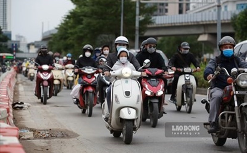
According to the National Center for Hydro-Meteorological Forecasting, on the first day of New Year 2025, the Northern and North Central regions will be cloudy, no rain, some places will have fog in the early morning, and sunny in the afternoon.
The lowest temperature in the mountainous and midland areas of the North is generally from 11-13 degrees Celsius; in the Northern Delta and North Central regions, it is generally from 14-16 degrees Celsius; during the day, the temperature is from 20-23 degrees Celsius, in the mountainous areas of the North, some places are below 20 degrees Celsius.
The Central and South Central regions have rain, showers, locally heavy rain and thunderstorms. The Central Highlands and the South have showers and thunderstorms in some places.
With these weather conditions, people and tourists in the Northern region can go on spring outings and participate in outdoor activities during the New Year holiday. People and tourists from the Central to the Southern regions should bring umbrellas and raincoats to guard against sudden bad weather.


