According to the latest forecast of storm No. 10 from the National Center for Hydro-Meteorological Forecasting, at 7:00 p.m. on December 24, the center of storm No. 10 was located at about 11.7 degrees North latitude; 111.5 degrees East longitude, in the southwest sea area of the Central East Sea. The strongest wind near the center of the storm is level 8 (62-74 km/h), gusting to level 10.
The storm is moving west-northwest at a speed of about 5km/h.
Forecast for storm No. 10 in the next 24 to 36 hours, the storm will move in the West Southwest direction at a speed of about 10km/h and gradually weaken into a tropical depression.
By 7pm on December 25, the eye of the storm will be at approximately 10.5 degrees North latitude; 109.5 degrees East longitude, in the sea area from Khanh Hoa to Ba Ria - Vung Tau. The storm intensity will decrease to level 6, gusting to level 8.
The danger zone includes the southwestern sea area of the Central East Sea and the northwestern sea area of the South East Sea, with a level 3 natural disaster risk level.
Due to the impact of storm No. 10, the southwestern sea area of the Central East Sea and the northwestern sea area of the South East Sea will have strong winds of level 6-7, the area near the storm's center will have strong winds of level 8, gusts of level 10, waves 4-6m high; rough seas. The sea area from Khanh Hoa to Ba Ria - Vung Tau (including Phu Quy island) will have strong winds of level 6, sometimes level 7, gusts of level 8-9, waves 3-6m high; rough seas.
Vessels operating in these danger zones are susceptible to storms, whirlwinds, strong winds and large waves.
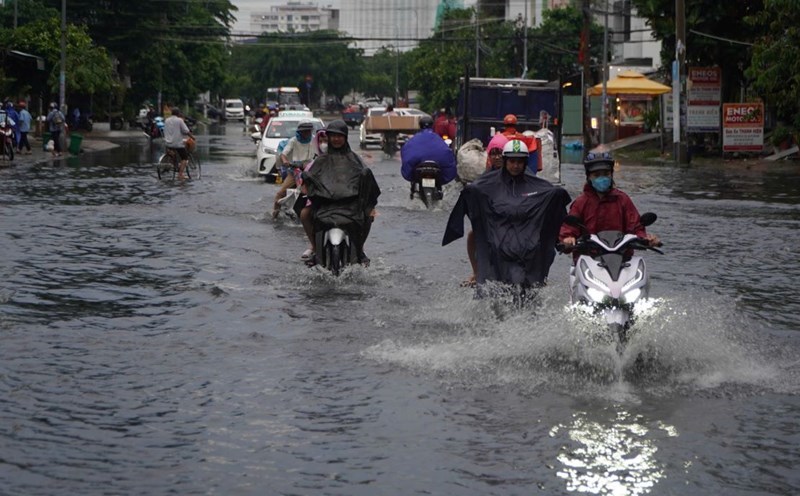
Coastal areas from the Central region to Ho Chi Minh City are forecast to have moderate rain, heavy rain, and very heavy rain in some places from December 24 to 29.
Residents and tourists from Ninh Thuan to Ba Ria - Vung Tau need to pay attention to weather forecasts and update the storm's direction to proactively arrange travel schedules and outdoor activities appropriately, ensuring safety.


