According to the latest storm news from the National Center for Hydro-Meteorological Forecasting, on the morning of December 25, storm No. 10 weakened into a tropical depression.
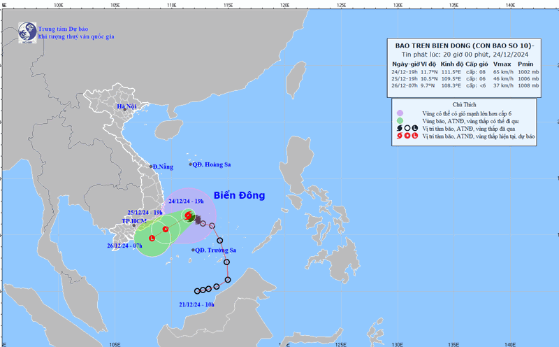
At 10:00 a.m., the center of the tropical depression was at about 10.3 degrees North latitude - 110.3 degrees East longitude, in the offshore waters from Khanh Hoa to Binh Thuan. The strongest wind near the center of the tropical depression was level 7 (50-61 km/h), gusting to level 9; moving in the West Southwest direction, speed 10-15 km/h.
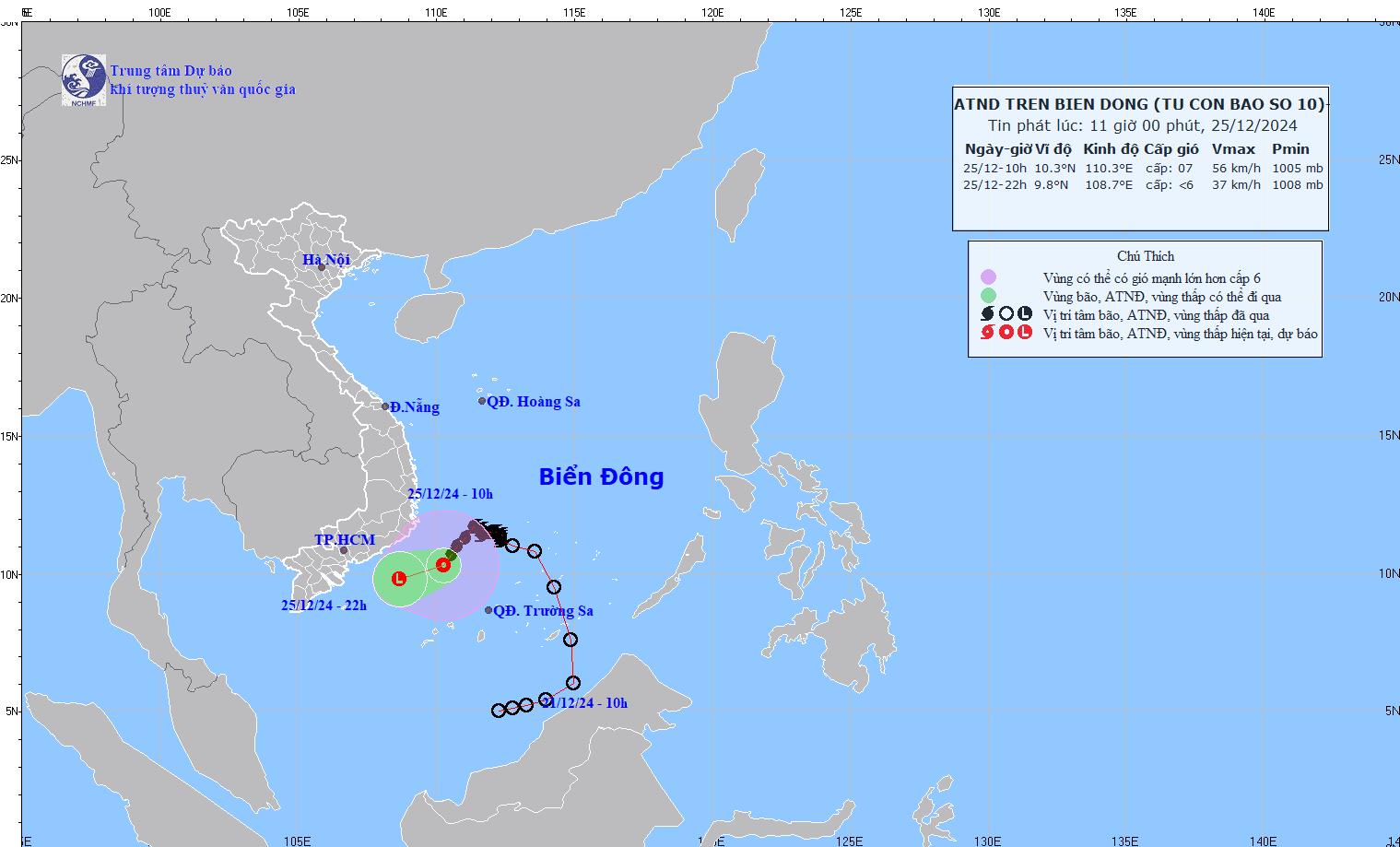
It is forecasted that by 10pm on December 25, the tropical depression will move in a West-Southwest direction at a speed of about 15 km/h, continuing to weaken into a low-pressure area. The center of the low pressure will be located at about 9.8 degrees North latitude - 112.0 degrees East longitude, over the sea from Binh Thuan to Bac Lieu.
The strongest wind near the center of the low pressure has now decreased to below level 6. Disaster risk level: level 3 for the southwestern sea area of the Central East Sea, offshore waters from Khanh Hoa to Ba Ria - Vung Tau.
Due to the influence of low pressure, the southwestern sea area of the Central East Sea, the sea area from Khanh Hoa to Ba Ria-Vung Tau (including Phu Quy island district) has strong winds of level 6-7, gusts of level 9, waves 2.0-4.0m high. Rough seas.
Forecast for the day and night of December 25, in the Central and South Central regions, there will be rain, moderate rain, locally heavy rain and thunderstorms with rainfall from 10-30mm, locally over 60mm. Da Lat area will be cloudy, rainy, humidity from 75 to 95%.
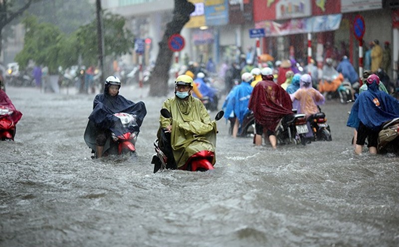
Thunderstorms may cause tornadoes, lightning and strong gusts of wind. Localized heavy rains may cause flooding in low-lying areas; flash floods in small rivers and streams; and landslides on steep slopes.
Residents and tourists near the Ninh Thuan coast to Ba Ria - Vung Tau need to pay attention to weather forecasts, update the direction of the storm to plan their travel schedule and outdoor activities appropriately, ensuring safety.


