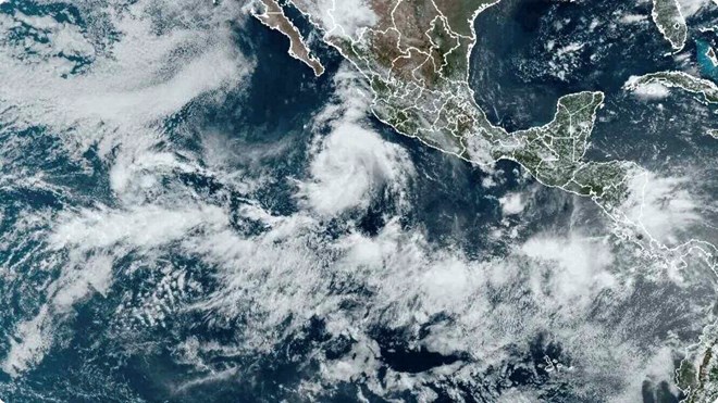
On July 31, the latest storm named Carlotta formed in the eastern Pacific Ocean, marking the third storm of this year's storm season.
According to information from the US National Hurricane Center (NHC), there are currently 3 weather zones being closely monitored in this area.
Hurricane Carlotta currently has sustained winds of 80km/h, with the storm center about 555km southwest of Manzanilla, Mexico.
The storm is moving northwest at a speed of 19km/h. Experts predict that Carlotta could become the first storm to reach hurricane status this year.
NHC also forecasts that a fourth storm named Daniel is likely to form next week. Forecast models show that both Carlotta and Daniel could strengthen into Category 2 storms, not even ruling out the possibility that one of these two storms will become a severe hurricane.
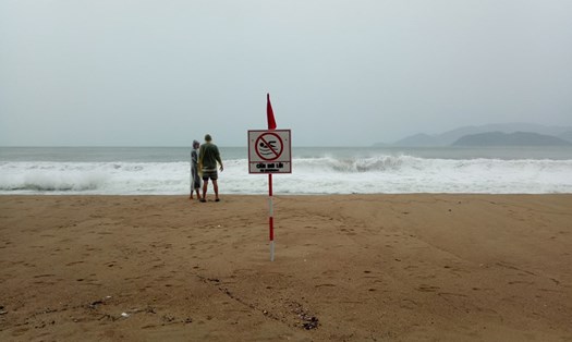
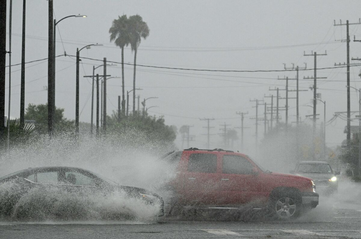
Although these two storms are not expected to pose a direct threat to land, they will produce large waves along the Mexican coast.
According to forecasts of the Mexican national weather agency, this year's storm season in the eastern Pacific will likely have 15-18 named storms, including 7-9 hurricanes and 3-4 typhoons. big.
Experts also note that the La Nina phenomenon is impacting storm activity in the region.
In the Pacific, La Nina increases wind shear, making it more difficult for storms to form. In contrast, in the Atlantic, La Nina reduces wind shear and increases the likelihood of storm formation.
In addition, the Madden-Julian Oscillation (MJO) is moving toward the eastern Pacific Ocean, which is believed to be the main cause of increased storm activity in this region in the near future.
The hurricane season in the eastern Pacific begins on May 15 and lasts until November 30, parallel to the hurricane season in the Atlantic. Meteorologists will continue to closely monitor the developments of storms in the near future.
With the storm situation becoming more complicated, tourists planning to visit coastal areas of Mexico and surrounding areas in the near future should pay close attention to regularly monitoring weather reports and carefully check their schedules. tour itinerary and contact travel agencies to update the situation.
Prepare a backup plan in case the schedule has to be changed due to the impact of a storm.
Travelers should also save emergency phone numbers and contact addresses of the embassy or consulate at their destination for assistance in case of need.
Although current storms do not pose a direct threat to the mainland, remaining vigilant and well prepared will help ensure the safety of your travel this storm season.