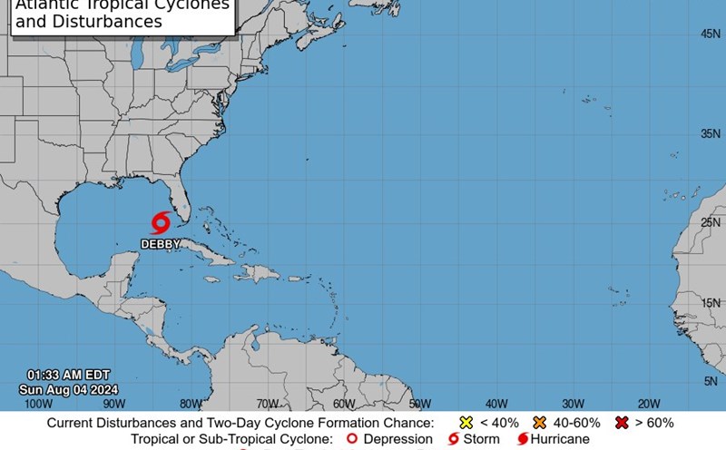
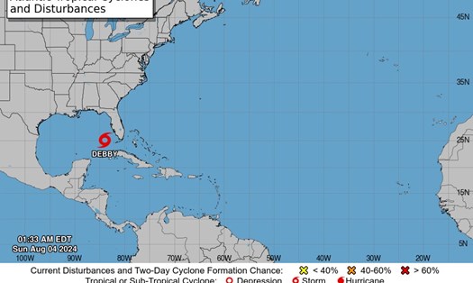
On August 6, 2024, storm Debby is approaching the eastern coast of the United States, posing a severe threat of flooding and strong winds to the states of Georgia, South Carolina, and North Carolina in the coming days.
According to the latest report from the National Hurricane Center (NHC) at the NWS Miami station, the center of the storm Debby is located approximately 20 miles southwest of Savannah, Georgia, and 105 miles southwest of Charleston, South Carolina.
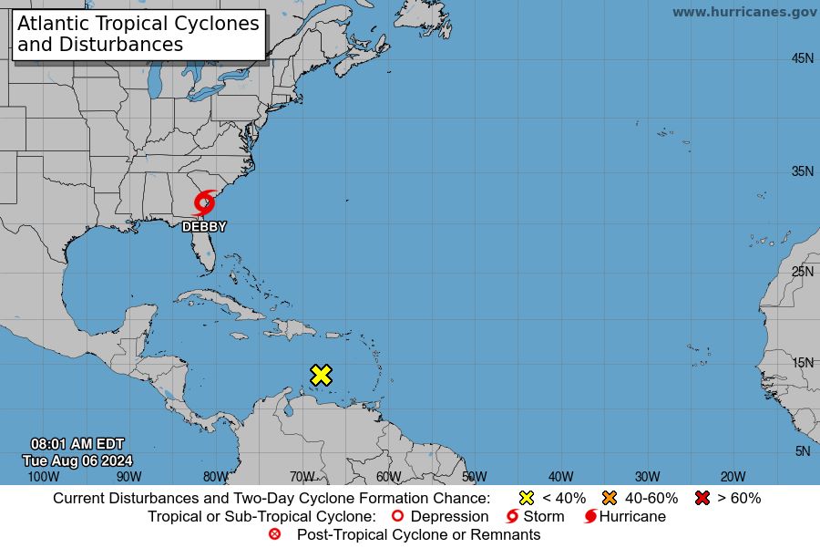
Forecast indicates that Debby will move out of the coastal area of Georgia by the end of the day today, moving offshore by August 8, and then moving inland through South Carolina on August 8.
Some forecasts show that the storm may intensify on August 7 and 8 as it drifts offshore. Warnings and tracking have been issued for many areas along the coast.
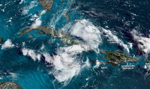
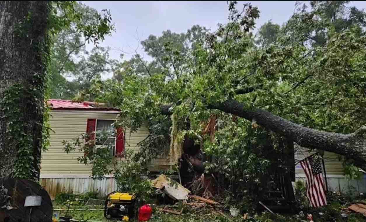
According to the National Hurricane Center, the greatest threat from Storm Debby is the risk of severe flooding. Heavy rainfall is expected, ranging from 254mm to 580mm, with a maximum of 635mm in some areas of Georgia, South Carolina, and North Carolina. Heavy rain can cause significant urban and river flooding, as well as flash flooding.
In addition, the combination of storm surge and high tide may cause coastal flooding in affected states with water levels rising from 0.6m to 1.2m.
In light of the unpredictable developments of Storm 4 Debby, tourists should closely monitor weather updates and follow all instructions from local authorities. If you are in an area at risk, consider evacuating early according to local guidance.
Tourists should also prepare for the possibility of power outages and transportation disruptions. If you have travel plans to the affected area in the coming days, consider changing your itinerary. Always carry an emergency kit including water, non-perishable food, flashlights, and a portable charger.
Ensure your mobile phone is fully charged and update emergency contact information.
The situation with Storm Debby will continue to be updated in the coming days. Residents and tourists in the area should remain vigilant and be prepared to respond to any situation.