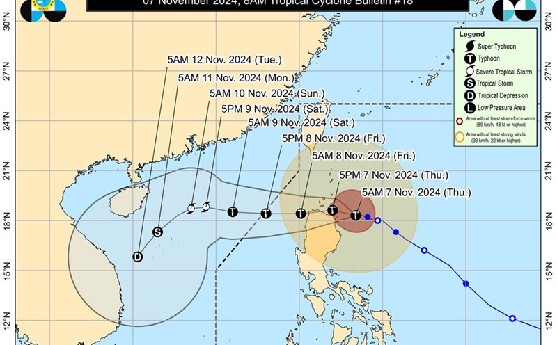
According to the Philippine Atmospheric, Geophysical and Astronomical Services Administration (PAGASA), Typhoon Yinxing has further strengthened, maintaining maximum wind speeds of 155 km/h and gusts of up to 190 km/h.
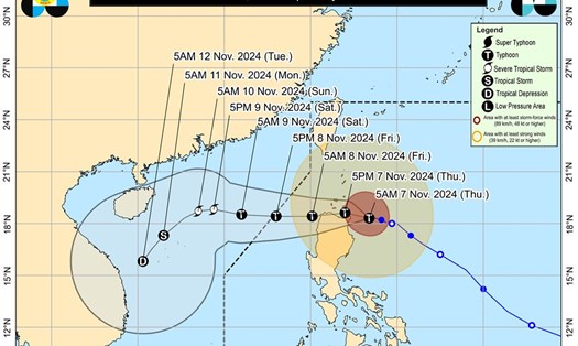
There is also a possibility that the storm will leave the Philippine area of responsibility (PAR) by Friday evening (November 8).
Warnings for high waves and strong winds have been issued in many areas of Luzon.
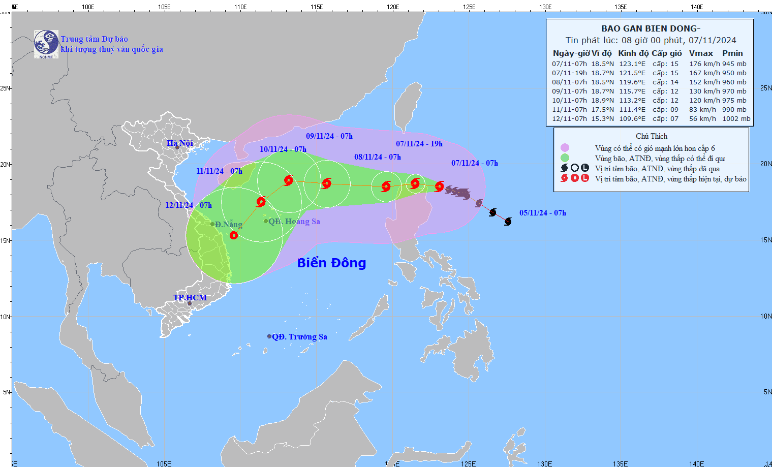
PAGASA said the eye of the storm was last spotted about 175 kilometers east of Aparri, Cagayan, with maximum wind speeds of 165 kilometers per hour, gusts of up to 205 kilometers per hour, and moving slowly west-northwest.
Experts predict the storm will approach the northern part of Cagayan during its peak intensity.
However, it may weaken starting this afternoon (November 7) when it interacts with the terrain of mainland Luzon during landfall or approaches the Philippine mainland.
The storm will make landfall and pass through the Babuyan Islands or the northern parts of mainland Cagayan, Ilocos Norte, and Apayao from Thursday afternoon (November 7) to early Friday morning (November 8).
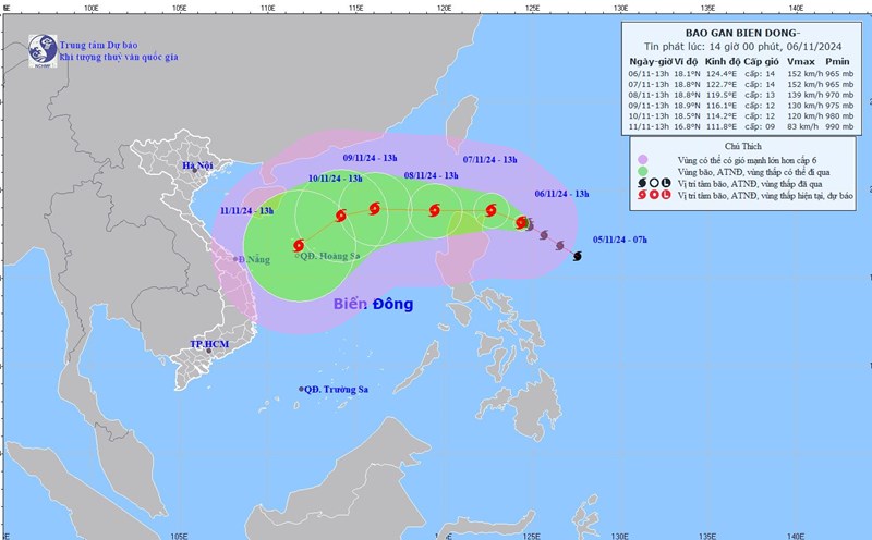
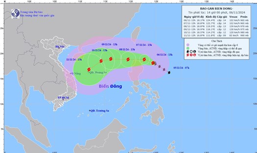
Meanwhile, the National Center for Hydro-Meteorological Forecasting said that in the next 72 to 120 hours, the storm is likely to change direction to the Southwest, traveling 10-15km per hour, and its intensity will continue to weaken.
Tourists planning to travel to areas predicted to be affected by Typhoon Yinxing should pay attention to weather forecasts and updates on the storm's passing to arrange appropriate schedules and ensure safety.

