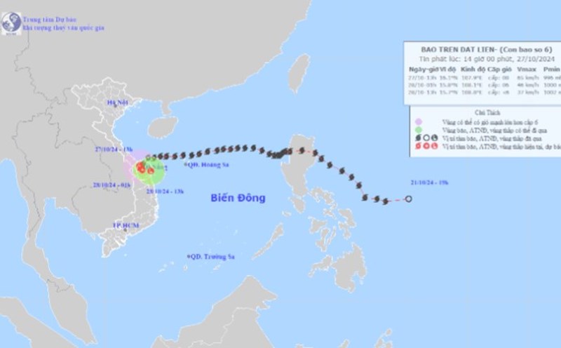
According to the latest information from the National Center for Hydro-Meteorological Forecasting, by 4:00 a.m. on October 28, storm No. 6 had weakened into a low pressure area over the coastal mainland area of Quang Nam - Da Nang, with its center at about 15.7 degrees North latitude; 108.4 degrees East longitude.
Wind speed at the center of the low pressure area has decreased to below level 6 (below 39km/h).
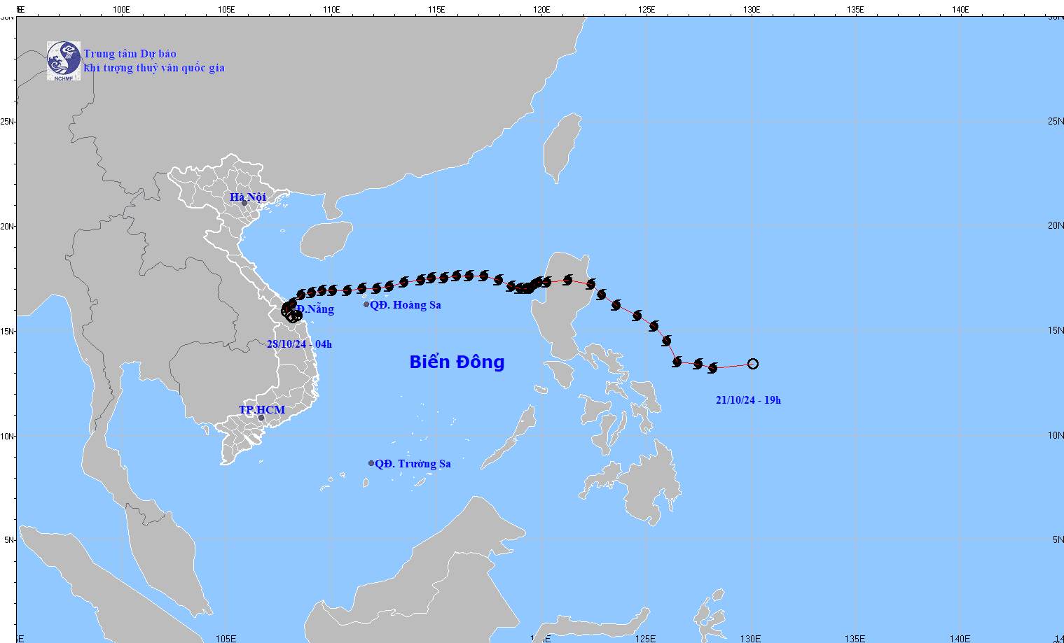
Before weakening, storm No. 6 caused strong winds in many coastal areas of the Central region. Specifically, at Con Co Island (Quang Tri) and Cu Lao Cham Island (Quang Nam), strong winds of level 8 were recorded; at Nam Dong (Thua Thien Hue) and Son Tra (Da Nang), gusts of wind reached level 10.
Other areas such as Le Thuy (Quang Binh), Cam Le (Da Nang) are also affected by strong winds of level 7-8 and gusts of level 9.
Regarding rainfall, during the day and night of October 27, the area from Ha Tinh to Quang Nam had heavy to very heavy rain with total rainfall ranging from 100-300mm, some places had rainfall over 500mm (from 7am on October 27 to 4am on October 28).
It is forecasted that in the next 12 hours, the low pressure area will move in an East Northeast direction and continue to weaken and gradually dissipate.
However, heavy rains are still complicated in the provinces from southern Ha Tinh to Thua Thien Hue. At the same time, the Gulf of Tonkin, the sea from Quang Tri to Ninh Thuan and the northern part of the North East Sea still have strong winds and big waves.
In this situation, tourists planning to travel to the above localities should pay attention to regular weather updates and be flexible in their schedules to ensure a complete travel experience. Limit recreational activities at sea to ensure safety.

