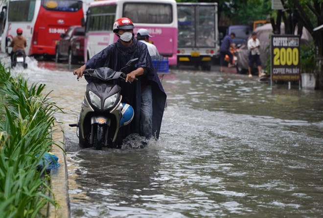
The National Center for Hydro-Meteorological Forecasting predicts that tomorrow, September 15, the Central Highlands and the South will have moderate rain, heavy rain and thunderstorms, locally very heavy rain with common rainfall of 40-80mm, locally over 120mm. Rain will be concentrated in the afternoon and at night.
According to the Southern Hydrometeorological Station, the tropical convergence zone with its axis through the North Central region gradually moving southward through the Central region is becoming more active. Therefore, the heavy rains are likely to last until around September 18-19. People and tourists in the Southern region need to monitor the weather forecast to adjust their schedules and outdoor activities accordingly.
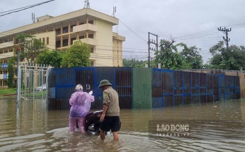
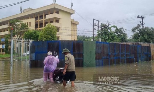
Meanwhile, the process of flood drainage and flood reduction on the Red River system is taking place slowly. Flooding is still occurring in low-lying areas, low-lying areas along the river, and alluvial areas outside the main dike in the following provinces/cities: Hanoi, Bac Giang, Bac Ninh, Thai Nguyen, Ninh Binh, Nam Dinh, Thai Binh, Ha Nam, Hai Duong. With the forecasted decrease in rainfall in the coming days, the flooding situation in low-lying areas along the river will gradually improve.
The water recedes in low-lying areas along the Bui River in Chuong My district from 9-11 days, along the Tich River about 6-8 days, downstream of the Ca Lo River 2-4 days, and the Nhue River from 2-3 days.
In the areas outside the dike downstream of the Red River - Thai Binh (provinces of Bac Giang, Bac Ninh, Ha Nam, Ninh Binh, Nam Dinh, Hung Yen, Thai Binh, Hai Duong), the water withdrawal time lasts from 3-5 days. For areas that do not actively drain, it may take longer.
Hanoi
Lowest temperature: 25-27 degrees Celsius.
Highest temperature: 33-35 degrees Celsius.
Cloudy, with scattered showers and thunderstorms in the late afternoon and evening; sunny during the day. Light winds. Thunderstorms may include tornadoes, lightning, and strong gusts of wind.
Northwest
Lowest temperature: 23-26 degrees Celsius, some places below 23 degrees Celsius.
Highest temperature: 32-35 degrees Celsius, some places above 35 degrees Celsius.
Cloudy, with showers and thunderstorms in the late afternoon and at night; sunny during the day, with some hot sun. Light wind. Thunderstorms may cause tornadoes, lightning and strong gusts of wind.
Northeast
Lowest temperature: 24-27 degrees Celsius, in mountainous areas below 24 degrees Celsius.
Highest temperature: 32-35 degrees Celsius, in some places above 35 degrees Celsius.
Cloudy, with showers and thunderstorms in the late afternoon and at night; sunny during the day, with some hot sun. Light wind. Thunderstorms may cause tornadoes, lightning and strong gusts of wind.
Thanh Hoa - Thua Thien Hue
Lowest temperature: 24-27 degrees C. Highest temperature: 31-34 degrees C.
In the North (from Thanh Hoa to Quang Binh), it is cloudy, with showers and thunderstorms in some places in the afternoon and evening, sunny during the day, and hot in some places; in the South, it is cloudy, with rain in the afternoon and evening, moderate rain and scattered thunderstorms, with some places having heavy to very heavy rain. Light wind. In thunderstorms, there is a possibility of tornadoes, lightning, and strong gusts of wind.
Da Nang to Binh Thuan
Lowest temperature: 25-28 degrees C. Highest temperature: 31-34 degrees C.
Cloudy, rain in the afternoon and at night, moderate rain and scattered thunderstorms, locally heavy to very heavy rain. Southwest wind level 2-3. Thunderstorms are likely to cause tornadoes, lightning and strong gusts of wind.
Central Highlands
Lowest temperature: 20-23 degrees C. Highest temperature: 27-30 degrees C.
Cloudy, moderate to heavy rain and scattered thunderstorms, locally very heavy rain. West to southwest wind level 3. Thunderstorms are likely to produce tornadoes, lightning and strong gusts of wind.
Southern Vietnam
Lowest temperature: 24-27 degrees Celsius.
Highest temperature: 30-33 degrees Celsius, some places above 33 degrees Celsius.
Cloudy, moderate to heavy rain and scattered thunderstorms, locally very heavy rain. Southwest wind level 3. Thunderstorms are likely to produce tornadoes, lightning and strong gusts of wind.