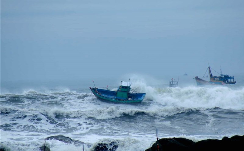
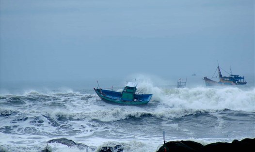
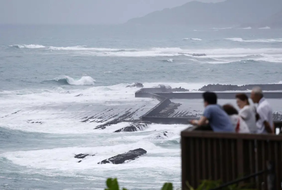
Typhoon Shanshan is rapidly moving toward southwest Japan, bringing torrential rain and strong winds, significantly affecting traffic and people's lives.
According to the U.S. Navy's Joint Typhoon Warning Center (JTWC), the powerful storm has wind gusts of up to 120 miles per hour, equivalent to a Category 3 hurricane.
The Japan Meteorological Agency predicts the Amami Islands southwest of the mainland will receive up to 16 inches (40.6 centimeters) of rain on August 27. Some areas in western Japan could receive nearly 60.9cm of rain within 24 hours this weekend.
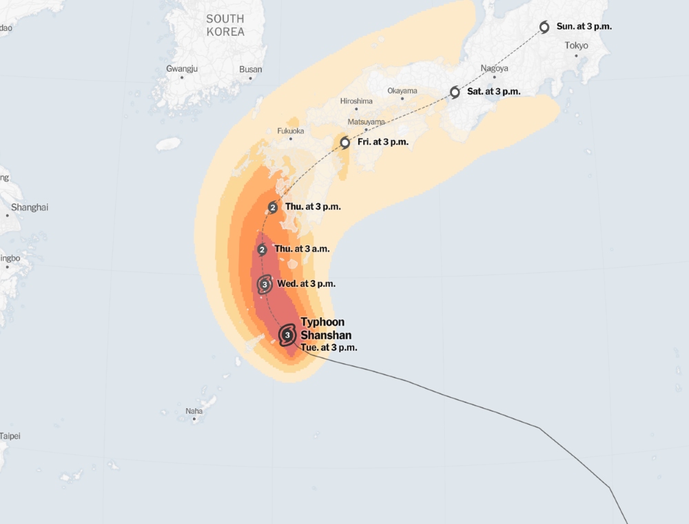
After passing the Amami Islands, Typhoon Shanshan is expected to move north on August 28 and approach Kyushu Island on August 29. The meteorological agency warned of a high risk of widespread flooding and landslides.
Due to the slow-moving storm, the Amami region and western Japan will face long periods of strong winds and intense heavy rain. Winds are forecast to reach 90 mph in southern Kyushu and the Amami region from Tuesday, and could increase to 110 mph by August 28.
The impact of the storm has forced airlines and railways to adjust schedules. Japan Airlines and All Nippon Airlines have canceled some flights to and from central Japan regions, including Osaka Kansai Airport. The Shinkansen high-speed rail network also began canceling some services from August 27, with warnings that disruptions could last into the weekend.
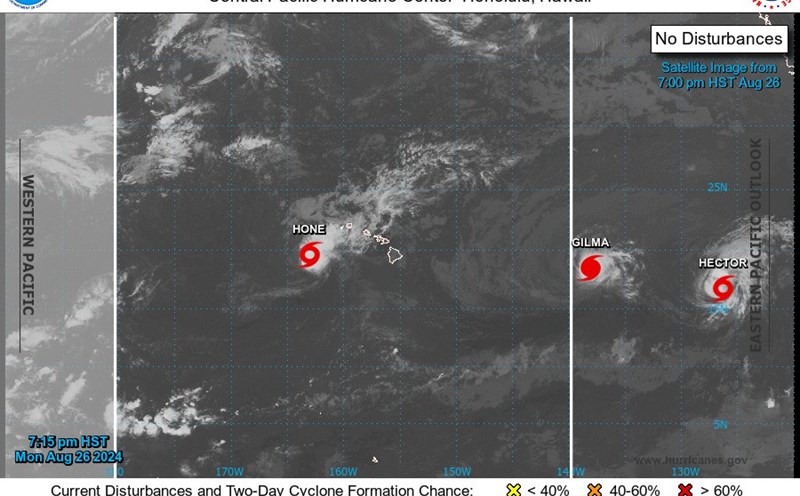
The beginning of this year's Pacific hurricane season has seen a lower than average number of tropical storms, partly due to the La Nina phenomenon expected to appear later in the summer.
From May to July, this area only recorded three tropical storms, two major storms and one strong storm, lower than the average for the 1991-2020 period.
Residents and tourists in Japan are advised to closely monitor announcements from authorities and prepare for bad weather in the coming days.