According to the latest weather forecast from the Philippine Atmospheric, Geophysical and Astronomical Services Agency (PAGASA), two low pressure areas are expected to form in the East Sea and surrounding areas this week, possibly significantly affects the weather in the area.
According to PAGASA's report, a low pressure area is likely to appear in the East Sea on August 29 and is expected to leave the Philippine forecast area on August 31.
At the same time, another low pressure area is expected to form east of the Philippines also on August 29, move into the country's forecast area on August 30 and may disappear early next week.
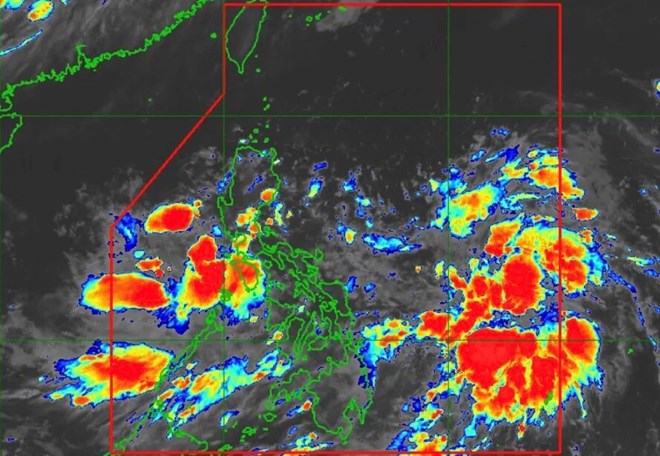
Additionally, PAGASA weather experts are closely monitoring cloud clusters over southwestern Luzon, which are likely to develop into a depression in the coming days.
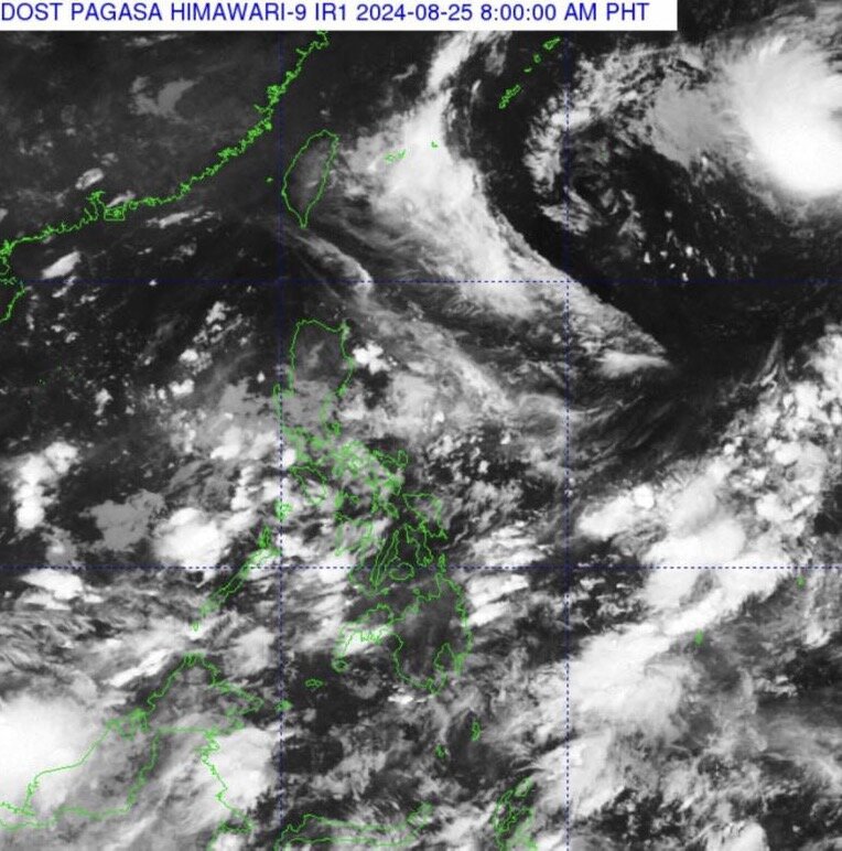
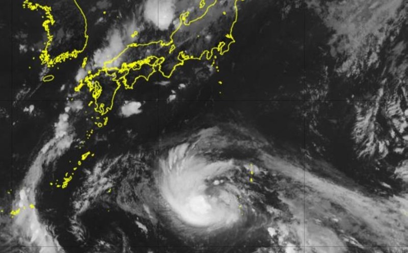
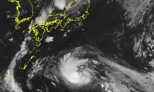
However, the agency also noted that typhoon Shanshan, which is 1,980 km east-northeast of Northern Luzon, has little chance of directly affecting the Philippines.
The southwest monsoon is expected to continue affecting Southern Luzon, Visayas and western Mindanao throughout this week.
The intensity of the monsoon is forecast to strengthen from August 27-30 and weaken over the weekend. This phenomenon may cause scattered rain in many areas, especially in the morning in Mimaropa and Western Visayas of this country.
Weather in other areas will also be affected. The weather in the Bicol region, western Calabarzon, the rest of the Visayas, the Sulu archipelago and the Zamboanga peninsula is mainly cloudy, sometimes sunny and occasionally rainy.
With these complicated weather developments, visitors to the Philippines in the near future should pay attention to regularly monitoring weather reports and warnings from local authorities.
Prepare a backup plan for your trip, especially if there will be outdoor activities. Bring a raincoat or umbrella to prevent sudden rain.
Avoid activities at sea or near the coast when there are warnings of bad weather. Pay special attention to areas at risk of flash floods or landslides during heavy rain.
Travelers should also keep in regular contact with relatives to update the situation.
Most importantly, strictly follow safety instructions from local authorities. With these complicated weather developments, being flexible in travel plans and prioritizing safety for yourself and those around you is necessary.