According to the latest storm news from the National Center for Hydro-Meteorological Forecasting, at 7:00 p.m. on November 26, the center of storm No. 15 was at about 12.6 degrees North latitude - 115.6 degrees East longitude, about 200km northeast of Song Tu Tay Island.
The strongest wind near the storm center is level 10-11 (89-117km/h), gusting to level 14. The storm is moving in a West-Northwest direction at a speed of 15-20km/h.
It is forecasted that by 7:00 p.m. on November 27, the storm will move in a West-Northwest direction, then West Southwest at a speed of about 10km/h. The center of the storm is located at about 12.6 degrees North latitude - 113.6 degrees East longitude, in the Central East Sea, about 140km North-Northwest of Song Tu Tay Island. The storm is likely to strengthen, with winds reaching level 12, gusts of level 15.

At 7:00 p.m. on November 28, the storm moved west at a speed of about 5km/h. The center of the storm is located in the western sea area of the Central East Sea. Wind power reaches level 12, gust level 15. Natural disaster risk level: level 3 for the western sea area of the Central East Sea (including the northwestern sea area of Truong Sa).
At 7:00 p.m. on November 29, the storm moved north-northeast at a speed of about 5km/h. The center of the storm is located in the western sea area of the Central East Sea. Wind power reaches level 10-11, gust level 14. The storm affects the western sea area of the Central East Sea.
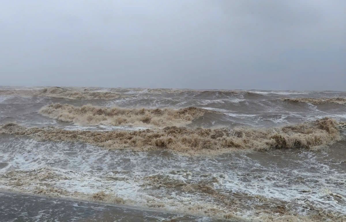
Due to the influence of the storm, the Central East Sea area (including the sea area north of Truong Sa special zone) has strong winds of level 7-9; the area near the storm's center has strong winds of level 10-12, gusts of level 15. The waves are 4.0-4.0m high, the area near the storm's center has 7.0 9.0m; the sea is very rough.
In the next 24 hours, the North East Sea area (including Hoang Sa special zone): Northeast wind level 7-8, gust level 9-10, rough seas, waves 5.0-4.0m high.
The Gulf of Tonkin has northeast winds of level 6, sometimes level 7, gusting to level 8-9, waves 2.0-4.0m high, rough seas.
The area from South Quang Tri to Lam Dong and the southwest of the East Sea (including the west of Truong Sa special zone) will have winds of level 6-7, gusts of level 8-9, rough seas, waves of 4.0-6.0m.
Central East Sea area (including the sea area north of Truong Sa special zone): wind level 7-8; area near the storm center level 9-11, gust level 14. The sea is rough, with waves 4.0-6.0m, near the center of the storm 7.0 9.0m.
Area from Ho Chi Minh City to Ca Mau: Northeast wind level 6, gust level 7-8, waves 2.0-4.0m, rough seas.
The Central East Sea area (including the North of Truong Sa special zone), the sea area south of the North East Sea area (including Hoang Sa special zone) and the South of the East Sea (including the South of Truong Sa special zone) will have storms, showers and thunderstorms. During thunderstorms, there is a possibility of tornadoes and strong gusts of wind.
On the night of November 29 and November 28, the North East Sea area (including Hoang Sa special zone) will have northeast winds of level 7-8, gusting to level 9-10, waves of 5.07.0m, rough seas.
Central East Sea area (including the sea area north of Truong Sa special zone): wind level 7-8, waves 4.06.0m; near the center of the storm level 9-11, gusts of level 14, waves 7.0 9.0m, rough seas.
From South Quang Tri to Lam Dong and the southwest of the East Sea (including the west of Truong Sa special zone): Northeast to North wind level 6-7, gust level 8-9, waves 4.0-6.0m, rough seas.
From Ho Chi Minh City to Ca Mau: Northeast wind level 5, sometimes level 6, gust level 7-8, waves 2.0-4.0m, rough seas.
People and tourists planning to visit these coastal areas should pay attention to weather forecasts. Do not go to sea when the sea is rough and follow local instructions to avoid dangerous storms.


