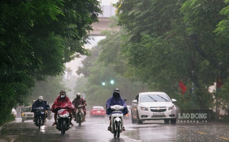
Widespread heavy rain and thunderstorms continued this morning (May 29), according to the National Center for Hydro-Meteorological Forecasting.
Currently, the low pressure trough with an axis is located between 11 - 14 degrees north latitude, connecting to the newly appeared low pressure area. At 1:00 a.m. this morning (May 29), the low pressure area was located at about 12.5 - 13.5 degrees north latitude and 110 - 111 degrees east longitude.
In the sea area from Quang Ngai to Ca Mau, the northern East Sea area (including the Hoang Sa archipelago), as well as the central and southern East Sea area (including the Truong Sa archipelago), showers and thunderstorms appear. On land, last night and early this morning, many places recorded heavy rain.
Ho Chi Minh City and the Southern provinces continue to have heavy rain due to strong thunderstorms
Last night and early this morning, moderate to heavy rain occurred in many areas across the country. Some places recorded very heavy rainfall, including: Tam Thanh (Phu Tho) 192.8mm, Giap Dac (Hoa Binh) 136.6mm, Tan Minh (Lang Son) 119.2mm, Nam Giai (Nghe An) 134.4mm, Van Binh (Khanh Hoa) 135.8mm, My Xuan (Ba Ria - Vung Tau) 149.2mm...
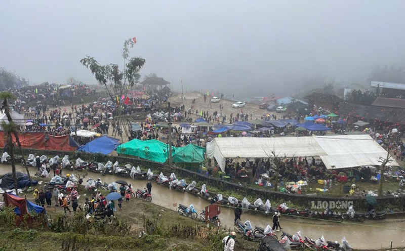
From the morning of May 29 to 30, the North and North Central regions are forecast to have common rainfall of 30 - 80mm, some places over 180mm. The South Central, Central Highlands and Southern regions are expected to have widespread rain of 30 - 70mm, locally exceeding 120mm. It is necessary to pay special attention to the risk of local heavy rain with an intensity of over 100mm in a short period of time.
In the Southern region, thunderstorms are continuing to develop, causing widespread rain accompanied by thunderstorms, especially in the Eastern provinces. In Ho Chi Minh City alone, rain and thunderstorms are occurring in Can Gio, Binh Chanh, Q.8, Binh Tan, Q.7, Q.6, Thu Duc, Tan Phu, Q.12, Hoc Mon, Cu Chi areas and are spreading to neighboring localities.
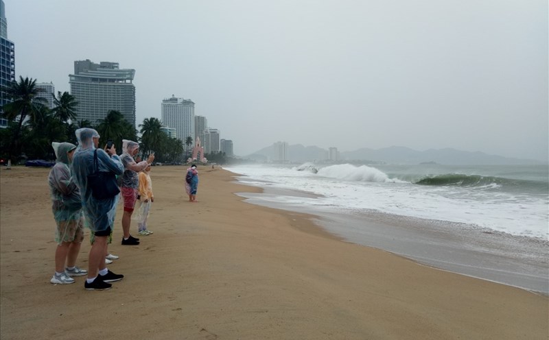
Warning of dangerous weather at sea due to the influence of low pressure
During the day and night of May 29, due to the impact of the low pressure area, the Gulf of the Tonkin Gulf, the waters from Da Nang to Ca Mau, from Ca Mau to Kien Giang and the Gulf of Thailand, along with the North, between and South Sea South (including Hoang Sa Archipelago and Truong Sa), continue to showers and thunderstorms. In thunderstorms, there is a possibility of tornado, strong winds of 6-7, high waves over 2 meters.
People and tourists in the Southern region, especially in Ho Chi Minh City and the Eastern provinces, need to proactively monitor weather forecast information, beware of the risk of urban flooding, thunderstorms and strong gusts of wind during peak rainy hours.
In areas with localized heavy rain, be wary of the risk of floods, landslides in mountainous areas, and flooding in low-lying areas.
At sea, ships and operating vehicles need to anchor safely, limit going out to sea during strong thunderstorms with tornadoes and big waves.
Regularly update weather reports and follow the recommendations of authorities to ensure safety.