According to the latest storm information from the Joint Typhoon Warning Center (JTWC), the tropical depression has officially strengthened into tropical storm 23W (Philippine name: Mirasol) currently about 211 km northeast of Manila and is moving northwest at a speed of about 7 km/h. At sea, the highest wave was recorded at 4.9 m.
Hurricane Mirasol has made landfall in the Casiguran region (Luzon) and is expected to continue northwest, passing through Luzon Island before returning to the Luzon Strait or the East Sea within the next 12-24 hours.
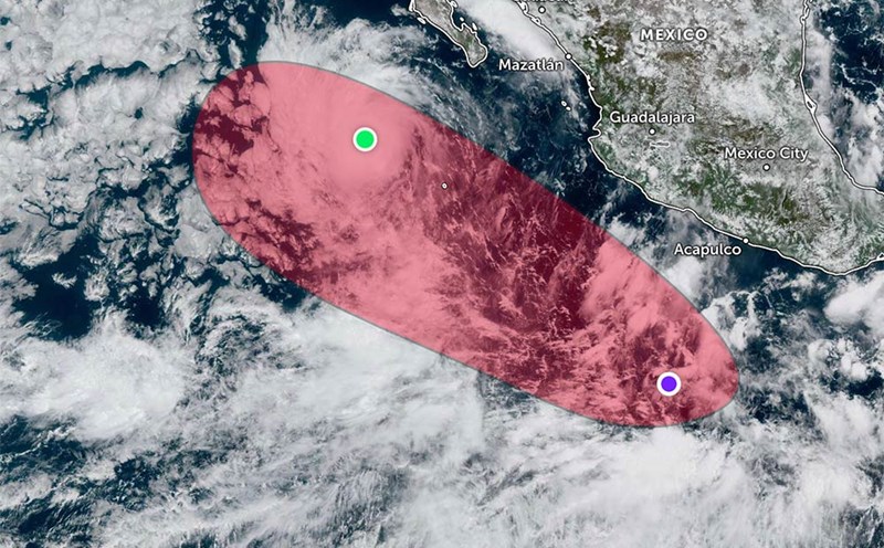
Luzon's mountainous terrain is likely to weaken the storm into a low pressure area before it re-forms at sea.
In the next 1-2 days, the storm is likely to move northwest towards Guangdong province and Hong Kong Island (China).
However, the forecast track of the storm remains uncertain, depending on the severity of the reorganization after crossing Luzon and the possibility of the storm moving parallel to the coast before making landfall.
It is forecasted that in the next 2-3 days, the storm may reach its maximum intensity of about 95 km/h, stronger if it revives quickly or moves longer at sea.
Then, as the high pressure weakens, the storm's movement will slow down as it approaches the coast of Guangdong and Hong Kong (China).
During the time the storm passes through Luzon and is active in the East Sea, the sea is rough, the waves are high, and it is dangerous for ships.
Tourists in the Philippines, especially in Luzon, as well as tourists planning to visit Hong Kong or southern China in the coming days, should regularly monitor weather reports, avoid going to sea and consider adjusting travel schedules.
According to the latest weather forecast from the National Center for Hydro-Meteorological Forecasting, today, September 17, the tropical convergence zone with an axis passing through the North East Sea connects with the tropical depression in the sea east of Luzon Island (Philippines).
Currently, the sea area from South Quang Tri to Gia Lai, the North, Central and South East Sea (including the special areas of Hoang Sa and Truong Sa) has scattered showers and thunderstorms.
On the night of September 17, the northeastern sea area of the North East Sea will have winds gradually increasing to level 6-7, gusting to level 9; near the center of the tropical storm, level 8, gusting to level 10, rough seas, waves 2.5-4.5m high.
Day and night of September 17, in the Central East Sea area, there will be winds of level 5, sometimes level 6, gusting to level 7-8, rough seas, waves 2.0-3.0m high.
On land, last night and early this morning (September 17), in the area from Hue City to Khanh Hoa, there were scattered showers and thunderstorms, with some places having heavy rain.
Rainfall from 7pm on September 16 to 3am on September 17 was over 50mm in some places such as: Quang Dien station (Hue city) 68.2mm, Ia Kenh station (Gia Lai) 88.4mm, Song Hinh station (Dak Lak) 51.8mm,...
Forecast for the afternoon and night of September 17: The area from Hue City to Lam Dong and the South will have scattered showers and thunderstorms, with rainfall of 15-30mm, locally heavy rain over 80mm.