According to the latest weather forecast from the Philippine Atmospheric, Geophysical and Astronomical Services Administration, a new low pressure has appeared inside the Philippine Area of Responsibility (PAR).
As of 8:00 a.m. on September 16, the center of the low pressure was at about 14.4 degrees North latitude - 125.0 degrees East longitude, about 220 km east of Camarines Norte province (Philippines). The low pressure is forecast to have a moderate chance of developing into a tropical depression in the next 24 hours.
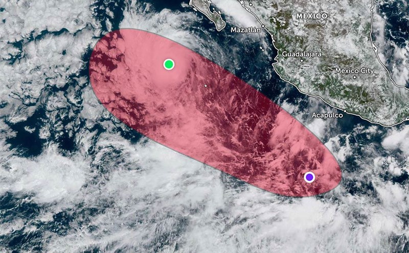
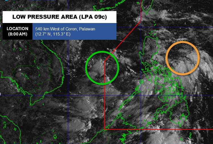
Meanwhile, another low pressure is active in the East Sea. The center of the low pressure is located at about 12.7 degrees North latitude - 115.3 degrees East longitude. The low pressure is unlikely to develop into a tropical depression in the next 24 hours.
Due to the influence of the two depressions, the areas of Bicol Region, Central Visayas, Eastern Visayas, Aurora, Quezon, Rizal, Bulacan, Nueva Ecija, Quirino, Nueva Vizcaya will have cloudy skies with scattered thunderstorms.
Heavy rain can cause floods and landslides.
According to the National Center for Hydro-Meteorological Forecasting, in the early morning of September 16, the center of the low pressure area was at about 12.5-13.5 degrees North latitude; 115.5-116.5 degrees East longitude, in the central East Sea.
In the next 24 hours, the low pressure area will move in the West Northwest direction, traveling about 15km per hour and is likely to strengthen into a tropical depression.
Forecast for the day and night of September 16, the North, Central and South East Sea (including Hoang Sa and Truong Sa special zones), the Gulf of Tonkin, the sea area from South Quang Tri to Ca Mau, Ca Mau to An Giang and the Gulf of Thailand will have scattered showers and thunderstorms. During thunderstorms, there is a possibility of tornadoes, strong gusts of wind of level 6-7, waves over 2.0m high.
The central East Sea area has winds gradually increasing to level 5, sometimes level 6, gusting to level 8; waves 2.0-3.0m high; rough seas.
All ships operating in the above areas are at risk of being affected by tornadoes and strong gusts of wind, special attention should be paid to ensure safety.
People and tourists planning to visit these coastal areas should regularly monitor forecasts and proactively avoid dangerous weather.