According to the latest weather forecast from the Joint Typhoon Warning Center (JTWC), 2 low pressure areas are operating in the Pacific Ocean.
The low pressure bearing the symbol Invest 99P is currently located in the Coral Sea (northeast of Australia). The strongest wind near the center of the low pressure reaches 35 km/h. This system is unlikely to develop into a tropical depression in the next 24 hours.
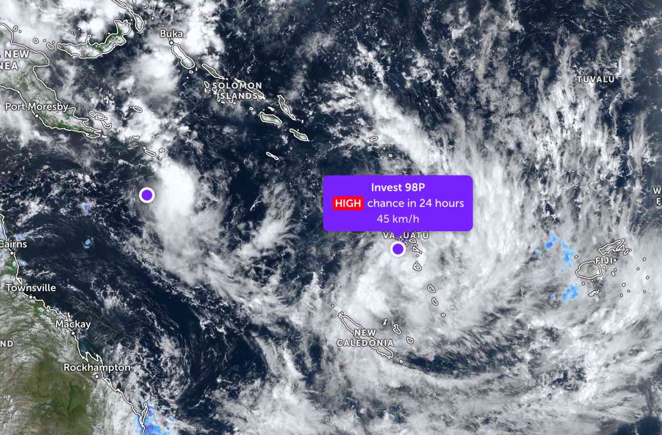
At the same time, another low pressure area coded Invest 98P has just moved across the mainland of Vanuatu in the South Pacific region.
The strongest wind near the center of the low pressure reached 45 km/h, gusting up to 50 km/h. This system is highly likely to develop into a tropical depression within the next 24 hours.
Meanwhile, in the East Sea, according to the National Center for Hydro-Meteorological Forecasting, on February 26, the sea area from Khanh Hoa to Ca Mau will have showers and thunderstorms.
On the day and night of February 26, the sea area from Khanh Hoa to Ca Mau and from Ca Mau to An Giang will have scattered showers and thunderstorms. In thunderstorms, there is a possibility of tornadoes, strong gusts of wind at level 6-7 and sea waves over 2.0m high.
All ships operating in the above areas are at risk of being affected by tornadoes, strong gusts of wind and high sea waves.
People and tourists planning to visit these sea areas should pay attention to weather forecasts. Avoid going out to sea when the sea is rough and follow local instructions to ensure safety.


