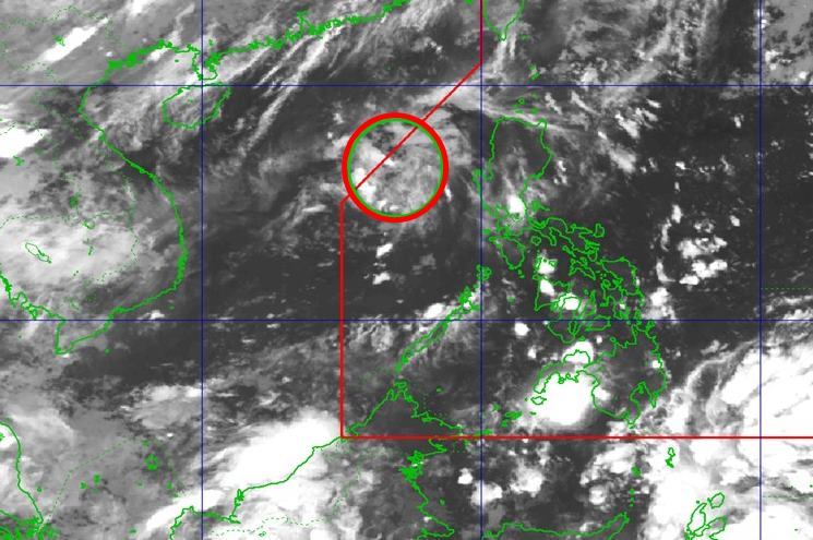
According to the latest weather forecast from the Philippine Atmospheric, Geophysical and Astronomical Services Administration (PAGASA), as of 3:00 a.m. on June 19, the low pressure area has moved deeper into the North East Sea.
The center of the low pressure is located at about 17.0 degrees North latitude - 117.0 degrees East longitude, 360km west of Bacnotan, La Union. The low pressure is unlikely to develop into a tropical depression within the next 24 hours.
Due to the influence of the low pressure, Davao, Soccsksargen, Surigao del Sur, Zamboanga del Sur... in the Philippines will have cloudy, gloomy skies with scattered rain and thunderstorms. Heavy rain is likely to cause flooding and landslides.
By 8:00 a.m. on June 19, the low pressure in the East Sea had weakened and gradually dissipated.
The low pressure has not yet affected the mainland and sea areas of Vietnam.
According to the National Center for Hydro-Meteorological Forecasting, on June 19, the Gulf of Tonkin will have scattered showers and thunderstorms, with a long view of over 10km. Male wind level 5, sometimes level 6 at night, gusting to level 7-8, rough seas. Waves are 1.0 - 2.5m high.
The North East Sea and Hoang Sa archipelago will have scattered showers and thunderstorms, with a distance of over 10km. South to southeast wind level 4-5. Waves are 1.0 - 2.0m high.
The central and southern East Sea will have scattered showers and thunderstorms in the East. During thunderstorms, there is a possibility of tornadoes and strong gusts of wind. A view of over 10km away, down to 4-10km in rain. South to southeast wind level 4. Waves are 1.0 - 2.0m high.
On land, on the day and night of June 19, the mountainous and midland areas of the North will have rain, moderate rain and scattered thunderstorms, locally heavy rain to very heavy rain with common rainfall from 20-50mm, some places over 100mm.
In the evening and night of June 19, other areas of the North will have scattered showers and thunderstorms, locally heavy rain with common rainfall from 10-30mm, some places over 70mm.
In the late afternoon and evening of June 19, the Central Highlands and the South will have scattered showers and thunderstorms, locally heavy rain with rainfall from 10-30mm, some places over 50mm.
People traveling should be cautious during showers and thunderstorms with the risk of tornadoes, lightning, hail, strong gusts of wind; flash floods on small rivers and streams, landslides on steep slopes, flooding in low-lying areas.


