According to the latest weather forecast from the Philippine Atmospheric, Geophysical and Astronomical Services Administration (PAGASA), as of 8:00 a.m. on June 18, the low pressure area has moved through the mainland of the Philippines, approaching the North East Sea.
The center of the low pressure is located at about 16.4 degrees North latitude - 119.5 degrees East longitude, in the coastal area of Bolinao, Pangasinan. The low pressure is unlikely to develop into a tropical depression within the next 24 hours.
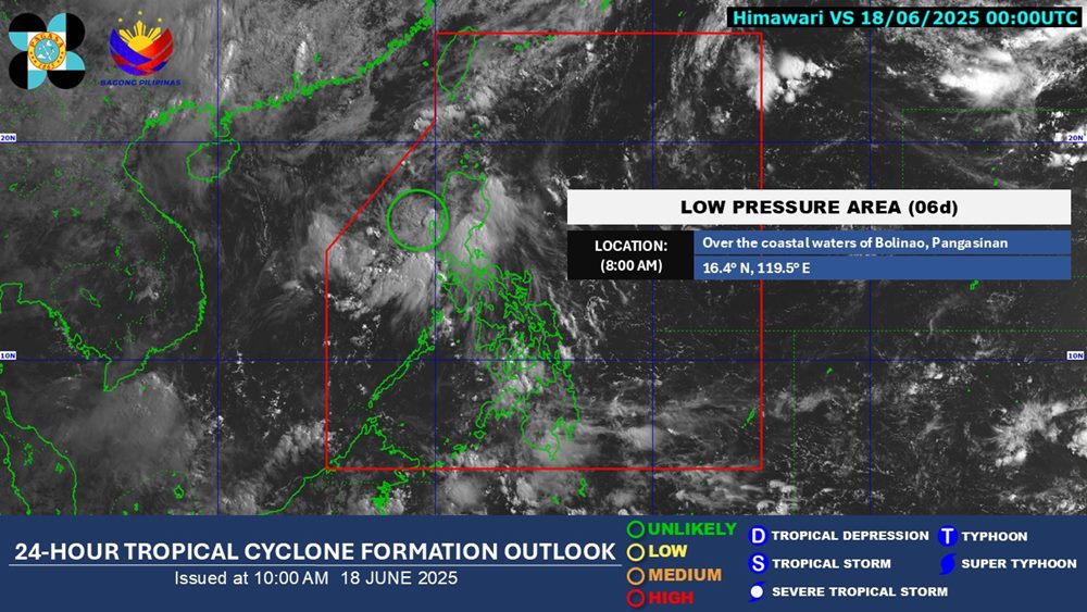
Due to the influence of the low pressure, Metro Manila, Central Luzon, Calabarzon, Kalinga, Ifugao, Benguet, Isabela, Quirino, Nueva Vizcaya, Pangasinan, Oriental Mindoro and Marinduque will have cloudy, gloomy skies with scattered rain and thunderstorms. Heavy rain is likely to cause flooding and landslides.
The low pressure has not yet affected the mainland and sea areas of Vietnam.
According to the National Center for Hydro-Meteorological Forecasting, on June 18-19, the Northern region will have scattered showers and thunderstorms, locally heavy rain (rain concentrated in the afternoon and night), the plains will be sunny during the day, some places will be hot.
The area from Thanh Hoa to Phu Yen will have showers and thunderstorms in some places in the evening and at night; hot sunny days, some places with severe heat.
Other areas will have showers and thunderstorms in some places in the late afternoon and night, especially the Central Highlands and the South in the late afternoon and evening, with scattered showers and thunderstorms, locally heavy rain; sunny day.
People and tourists should be on guard against thunderstorms that can cause tornadoes, lightning, and strong gusts of wind. Bring an umbrella and raincoat when going out to prevent sudden changes in weather.


