
According to the latest storm news from the Joint Typhoon Warning Center (JTWC), Typhoon Jangmi has just made landfall in Japan for the 3rd time.
As of the afternoon of June 3, the typhoon's center was about 213 km southwest of Yokosuka (Japan). The strongest wind near the typhoon's center reached 95 km/h. In the past 6 hours, the typhoon has moved in the East-Northeast direction at a speed of about 46 km/h. The maximum wave height reached about 9.1 m.
Typhoon Jangmi is forecast to continue moving along the southern coast of Honshu Island. The typhoon brought rainfall of over 500 mm in the Owase area in central Japan in just 24 hours. Heavy rain will continue until tomorrow with rainfall of about 200 mm in many areas, including the capital Tokyo.
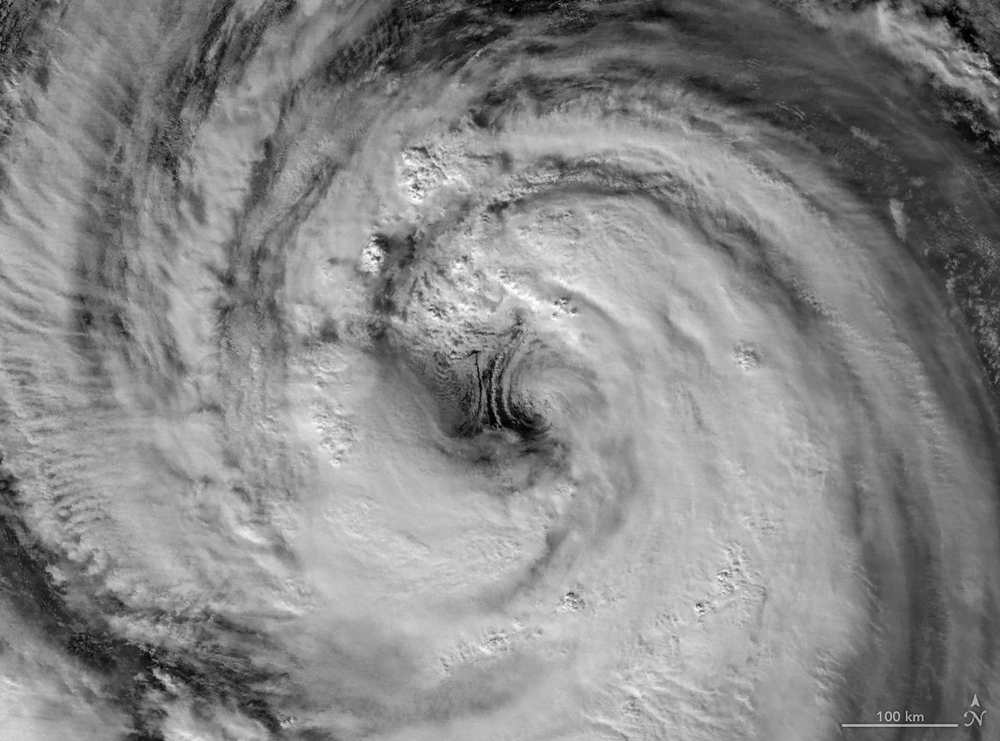
JTWC forecasts that Typhoon Jangmi is transforming into an extratropical depression (ETT) and will complete this process in the next 24 hours.
The Japan Meteorological Agency said that the storm is expected to pass very close to the Pacific Ocean of eastern Japan.
According to the country's authorities, at least 15 people were slightly injured. The storm has caused power outages to nearly 60,000 households as of now. Floods, fallen trees as well as landslides occurred in many areas.
Evacuation notices have been issued for more than 800,000 residents in eight provinces in the Southwest, Central and Eastern Japan.
People and tourists planning to travel to Japan during this time should closely monitor the weather forecast. Check the flight schedule in detail, follow local instructions to ensure safety throughout the journey.


