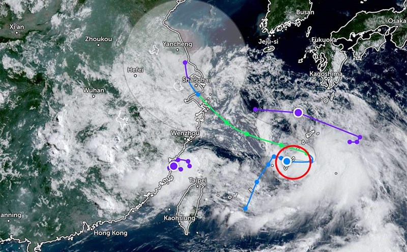
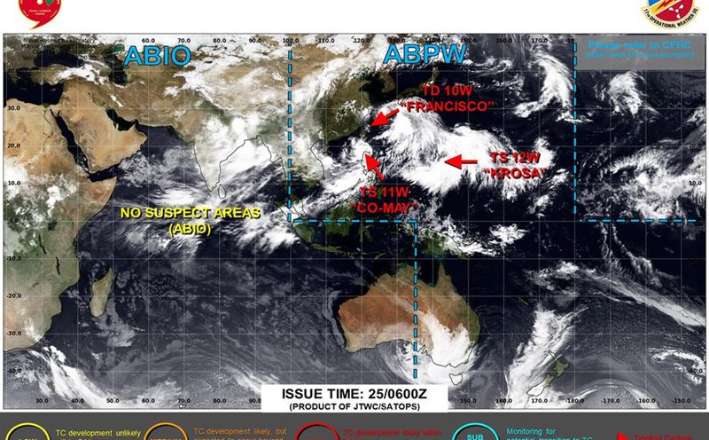
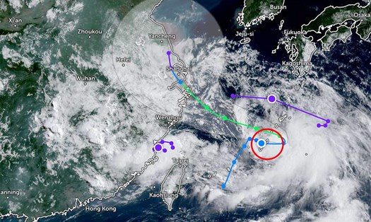
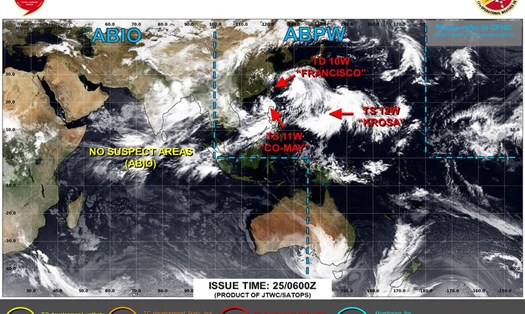
According to new storm news from the Philippine Atmospheric, Geophysical and Astronomical Services Administration, as of 2:00 p.m. on July 27, the tropical depression weakened from storm No. 4 Co May is moving near the East Sea. The center of the tropical depression is located at about 26.3 degrees North latitude - 129.5 degrees East longitude, about 995 km northeast of the northernmost tip of Luzon.
The strongest wind near the center of the tropical depression is Co May reaching 55km/h, gusting up to 70km/h. The tropical depression is likely to develop into a tropical storm tonight or early tomorrow morning. When it strengthens into a storm, the tropical depression will move towards mainland Shanghai, eastern China.
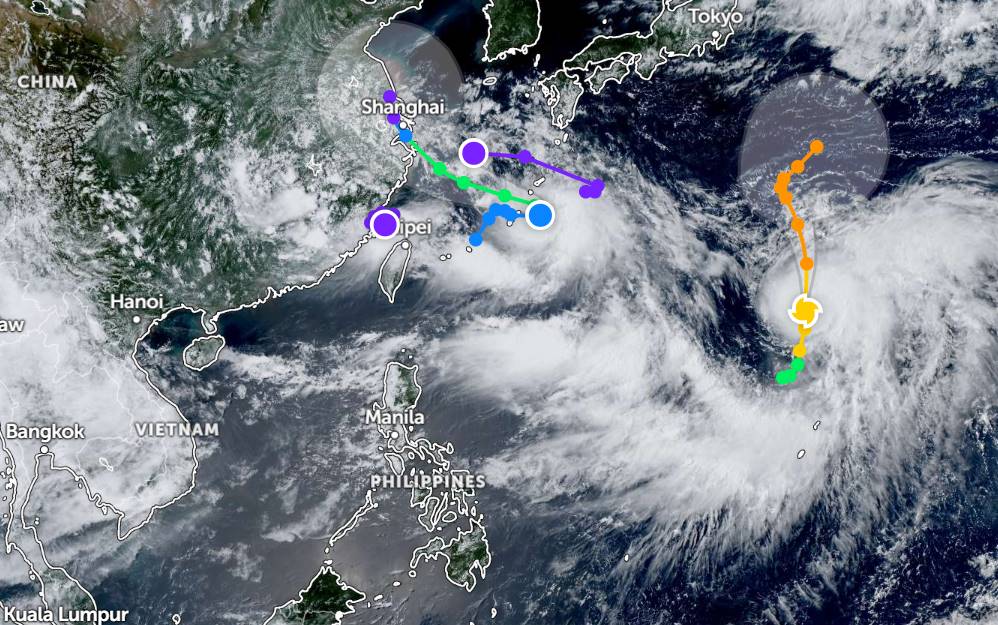
Meanwhile, another low pressure (Invest 91W) is also moving near the East Sea. The strongest wind near the center of the low pressure reaches about 25-35km/h. The low pressure is forecast to develop slowly in the next 2 days.
Meanwhile, Typhoon Krosa continues to strengthen over the waters near the Northern Mariana Islands. The center of the storm is located at about 25.1 degrees North latitude - 145.0 degrees East longitude, about 2,405km east of the northernmost tip of Luzon. This intense tropical storm is expected to continue to strengthen in the next 24 hours.
According to the weather forecast of the National Center for Hydro-Meteorological Forecasting, on July 27, in the North and Central East Sea (including Hoang Sa special zone), the sea area of Ca Mau-An Giang will have scattered showers and thunderstorms; Phu Quy special zone will have strong winds of level 6.
It is forecasted that on the night of July 27 and July 28, the sea area east of the North East Sea, the Central East Sea and the sea area from Gia Lai to Ho Chi Minh City will have strong southwest winds of level 6, gusting to level 7-8; rough seas, waves 2.0-4.0m high.
The North and Central East Sea area (including Hoang Sa special zone), the sea area from Lam Dong to Ca Mau, from Ca Mau to An Giang and the Gulf of Thailand will have scattered showers and thunderstorms. During thunderstorms, there is a possibility of tornadoes and strong gusts of wind of level 7-8.
Warning on the night of July 28 and July 29, the North and Central East Sea will have strong southwest winds of level 6, sometimes level 7, gusting to level 8-9, waves 2.0-4.5m high. Strong seas.
The sea area from Gia Lai to Ho Chi Minh City will have strong southwest winds of level 6, gusting to level 7-8, waves 2.0-4.0m high, rough seas.
People and tourists planning to visit coastal areas and islands affected by thunderstorms or places with storms and tropical depressions should pay attention to weather forecasts and follow local instructions to ensure safety.