According to the latest storm news from the Joint Typhoon Warning Center (JTWC), Typhoon 18P is currently located about 765 km southwest of Suva (Fiji).
The storm moved rapidly south at a speed of about 33 km/h in the past 6 hours, slower than before (43 km/h).
The most significant sea wave recorded is up to about 6.1 m, the sea is very rough in the South Pacific region.
Forecast for the next 12 hours, 18P will continue to move mainly in the south direction, then bend to the southwest.
The storm will weaken in the next 24 hours due to adverse environment.
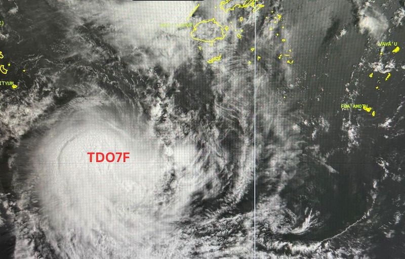
Meanwhile, the Fiji Meteorological Agency identified storm 18P as a tropical depression. The center of the tropical depression is far west of Fiji and does not move directly into the central area of the main tourist islands.
However, cloud circulation and strong winds are still affecting some areas, including the Yasawa Islands, Mamanuca, western Viti Levu Island, western Vanua Levu and surrounding areas.
In Nadi, the strongest gusts of wind reached 70 km/h last night, January 28 (local time). Rain occurred in waves, sometimes with prolonged rain and thunderstorms, starting from western areas and spreading to other parts of the Fiji archipelago.
Tourists who are planning to travel or operate at sea in Fiji and areas adjacent to the South Pacific need to closely monitor storm forecasts and local maritime warnings.
Meanwhile, in the East Sea, the National Center for Hydro-Meteorological Forecasting recorded that the eastern sea area of the Northern East Sea and Huyen Tran station have strong Northeast winds at level 6.
Forecast for the next 24 hours, day and night of January 29, in the Northeast North East Sea area, strong Northeast wind level 6, gusts level 7-8, rough seas, waves 2.0-4.0 m high.
The sea area from Lam Dong to Ho Chi Minh City and the southwest of the East Sea, including the western Truong Sa special zone, the Northeast wind is commonly level 5, sometimes level 6, gusts level 7, rough seas, waves 2.0-3.0 m high.
On the day and night of January 30, the sea area in the Northeast of the East Sea continued to have strong Northeast to East winds at level 6, gusts at level 7-8, rough seas, waves from 2.0-4.0 m high.
The level of natural disaster risk at sea is level 2; all ships operating in the above-mentioned areas are at high risk of being affected by strong winds and big waves, and special attention should be paid to ensuring maritime safety.
Visitors are advised to follow the instructions of the local authorities, local meteorological agencies and travel agencies to ensure safety.


