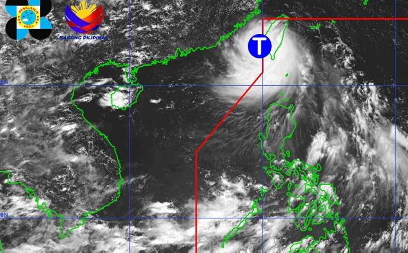
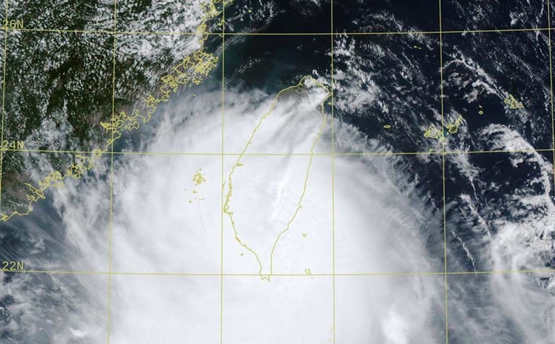
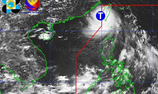
According to the latest storm information from the Philippine Atmospheric, Geophysical and Astronomical Services Administration (PAGASA), Typhoon Podul made landfall in Fujian Province (China), then moved deep into Guangdong Province.
At 3:00 a.m. on August 14, the center of the storm was at about 24.3 degrees North latitude - 116.8 degrees East longitude, about 650 km northwest of the northernmost tip of Luzon. Maximum sustained winds reached 95 km/h, gusting up to 160 km/h. The storm is moving northwest at a maximum speed of 35 km/h.
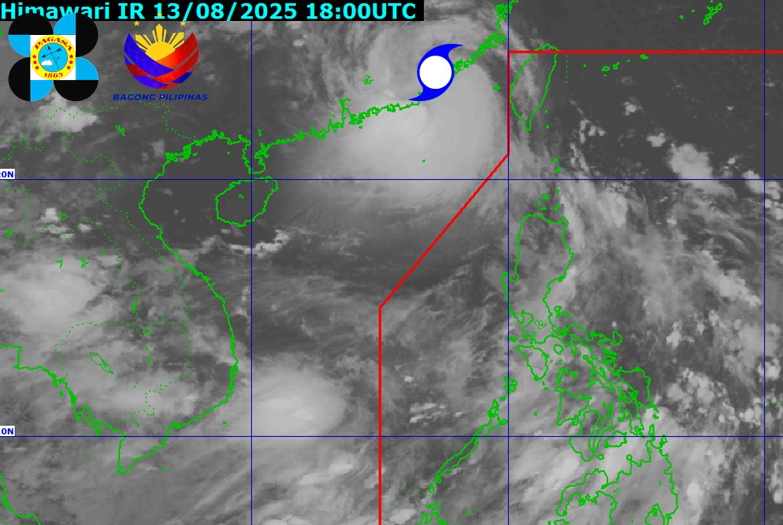
Typhoon Podul is expected to gradually weaken as it moves further inland over the next 24 hours.
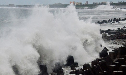
According to Xinhua News Agency, due to the impact of the storm, some areas in Guangdong, Fujian, Jiangxi and Hunan will experience heavy to very heavy rain. China's flood and drought relief command has upgraded the flood and storm emergency response level to level III in Guangdong and Fujian provinces.
To cope with the storm, some schools in Quang Dong have temporarily stopped teaching. Railway and ferry services have also been suspended, CCTV reported.
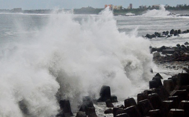
In the East Sea, according to the National Center for Hydro-Meteorological Forecasting, during the day and night of August 14, the northeastern sea area of the North East Sea will have strong south to southeast winds of level 6, gusting to level 7-8. Rough seas, waves 2.0-4.0m high.
The sea area from Khanh Hoa to Ho Chi Minh City and the western sea area of the South China Sea (including the western sea area of Truong Sa) will have strong southwest winds of level 5, sometimes level 6, gusting to level 7-8. Rough seas, waves 1.5-3.0m high.
In addition, on the day and night of August 14, the Gulf of Tonkin, the sea area from Lam Dong to Ca Mau, Ca Mau to An Giang, the Gulf of Thailand, the North and Central East Sea (including the special zone of Hoang Sa), the South East Sea (including the special zone of Truong Sa) will have scattered showers and thunderstorms. During thunderstorms, there is a possibility of tornadoes, strong gusts of wind, and waves 2.03.0m high.
Forecast for the day and night of August 15, the sea area from Lam Dong to Ho Chi Minh City, the sea area west of the South China Sea (including the sea area west of Truong Sa province) and the sea area north of the North China Sea will have strong winds of level 5, sometimes level 6, gusting to level 7-8. Rough seas, waves 1.5-3.0m high.
People and tourists planning to visit these coastal areas or areas where storms pass through should pay attention to weather forecasts. Check flight schedules and follow local instructions to ensure safety.