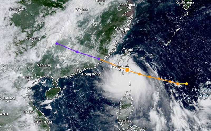
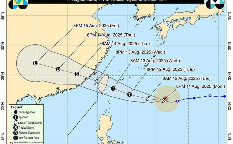
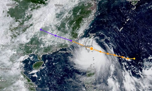
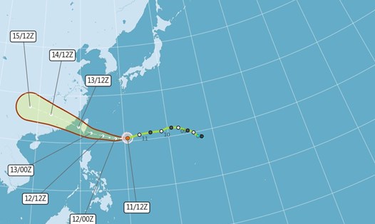
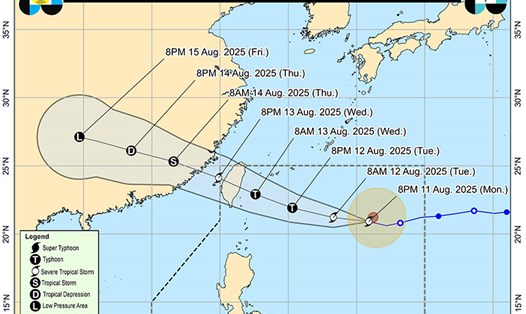
Typhoon Podul made landfall in Taizhou City, southeastern Taiwan (China) at noon on August 13, with gusts of up to 191 km/h, according to the Inquirer.
The China Meteorological Administration (CWA) warned that dangerous strong winds and heavy rain will affect the southern and eastern provinces, including Kaohsiung, Hualien, Taizong, etc.
All 252 domestic flights and 129 international flights on August 13 were canceled, mainly from airports in Kaohsiung and some flights from Dao Vien International Airport.
High-speed train services on the West Coast have been reduced; many trains in the Southeast of the island have been canceled.
Before Typhoon Podul made landfall, more than 5,500 people had been evacuated. Local authorities have asked people and tourists to limit going out, avoid overpasses, high roads, beaches and areas with easily swept away by wind such as scaffolding, billboards, and large trees.
Weather forecast in Taiwan (China) may have about 400-600 mm of rain from 12 to 15, very heavy rain over 350 mm/24 hours in some areas such as Hualien, Taizong and Kaohsiung mountains. High waves, strong winds in coastal areas.
If you are or are planning to travel to Southern, Eastern Taiwan (China) or Penghu Islands this week, visitors should consider postponing your trip until the storm passes.
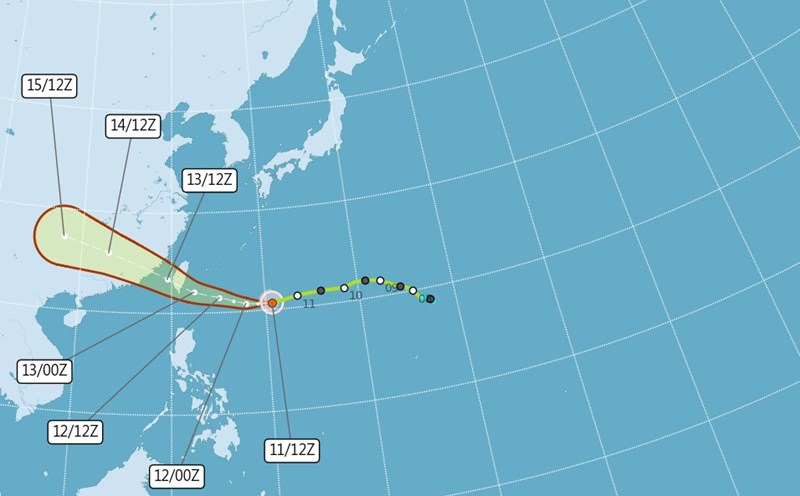
Typhoon Podul is expected to move into the Taiwan Strait on the evening of August 13 and continue towards Fujian Province (China) in the next few days, but the wind and rain will continue in Taiwan (China) until August 15.