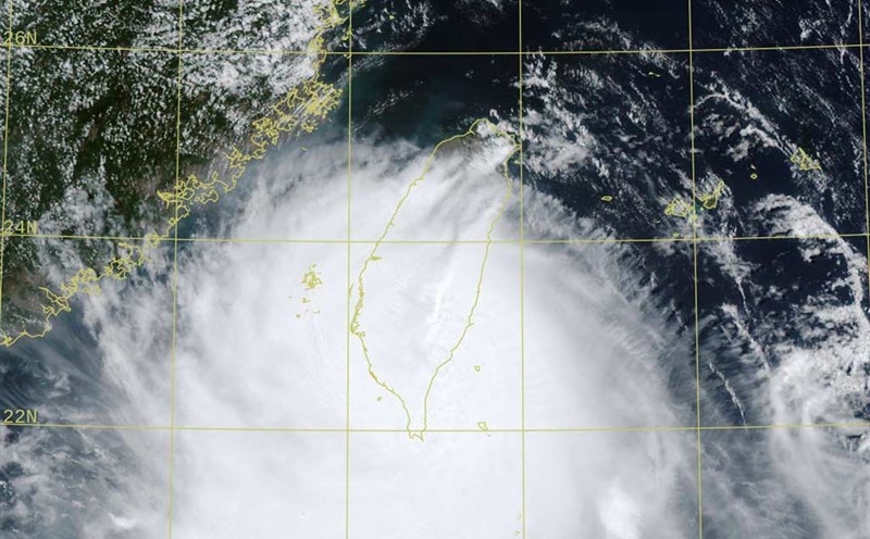
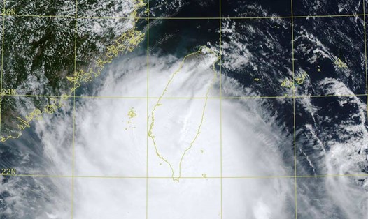
According to the latest storm information from the Philippine Atmospheric, Geophysical and Astronomical Services Administration (PAGASA), by 5:00 a.m. on August 13 (local time), Typhoon Podul was rapidly strengthening near the East Sea.
As of 4:00 a.m. this morning, the center of the storm was at about 21.9 degrees North latitude - 122.9 degrees East longitude, close to the mainland of Taitung (Taiwan, China), 165 km northeast of Itbayat, Batanes. The strongest wind near the center of the storm reached 140 km/h, gusts of up to 170 km/h.
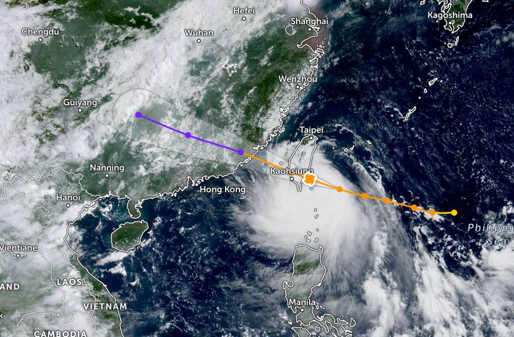
The storm is moving northwest at a speed of about 25 km/h, towards mainland Taiwan, China. Strong winds extend up to 400 km from the center of the storm.
The Podul storm is forecast to reach its peak just before making landfall. After that, the storm will quickly weaken.
After crossing Taiwan (China), entering the East Sea and making landfall in China, the storm's circulation will decrease rapidly and gradually dissipate within 2 days.
The CWA forecasts that Typhoon Podul is expected to pass near the Republic of China and the Greenlands early this morning (August 13.) and make landfall near Taitunground around noon today. The typhoon will then leave Taiwan (China) in the evening of the same day.
The CWA said the typhoon will then affect Penghu and Kim Mon districts today and tomorrow before heading south of China. Winds will be stronger, especially in eastern Taiwan (China) and offshore islands, while scattered showers are expected in northern and northeastern Taiwan (China).
According to the CWA, the heaviest rainfall is expected to occur from late afternoon to evening, spreading from eastern Taiwan (China) to southern areas, including Jiating and further south of the island.
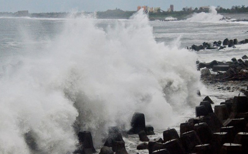
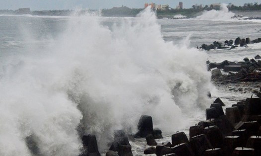
Waves can rise above 4 m in coastal and offshore waters, even up to 6 m in the island's east coast, and urge people in low-lying coastal areas to be alert for flooding caused by seawater.
According to the National Center for Hydro-Meteorological Forecasting, early this morning, August 13, the South China Sea (including Truong Sa special zone), the sea area from Lam Dong to Ca Mau, Ca Mau to An Giang and the Gulf of Thailand will have scattered showers and thunderstorms. In Phu Quy special area, there are strong southwest winds of level 5, sometimes level 6.
It is forecasted that during the day and tonight, the northeastern sea area of the North East Sea will have strong winds of level 7-9, gusting to level 11-12; very rough seas; waves 3.05.0m high. The sea area from Lam Dong to Ho Chi Minh City and the western sea area of the South East Sea (including the western sea area of Truong Sa) will have strong southwest winds of level 5, sometimes level 6, gusting to level 7-8; rough seas, waves 1.53.0m high.
In addition, on the day and night of August 13, the Gulf of Tonkin, the sea area from Lam Dong to Ca Mau, Ca Mau to An Giang, the Gulf of Thailand, the northeastern sea area of the North East Sea, the Central and South East Sea (including the special area of Truong Sa) will have scattered showers and thunderstorms.
During thunderstorms, there is a possibility of tornadoes, strong gusts of wind and waves 2.03.0m high.
People and tourists planning to visit the above sea areas or travel to Taiwan (China) in the next few days should pay attention to weather forecasts. Check flight schedules and follow local instructions to avoid impactful storms.