According to the latest storm news from the National Center for Hydro-Meteorological Forecasting, at 7:00 a.m. on October 21, the center of the storm was at about 18.0 degrees North latitude - 112.6 degrees East longitude, about 130km north of Hoang Sa. The strongest wind near the storm center is level 9-10 (75-102 km/h), gusting to level 12. The storm is moving west at 20 km/h.
It is forecasted that by 7:00 a.m. on October 22, the storm will move west-southwest at a speed of 10-15 km/h. The center of the storm is located at about 16.8 degrees North latitude - 110.2 degrees East longitude, about 220 km East Northeast of Da Nang. Strong wind level 9, gust level 11. Natural disaster risk level: Level 3 for the North East Sea area, including Hoang Sa.
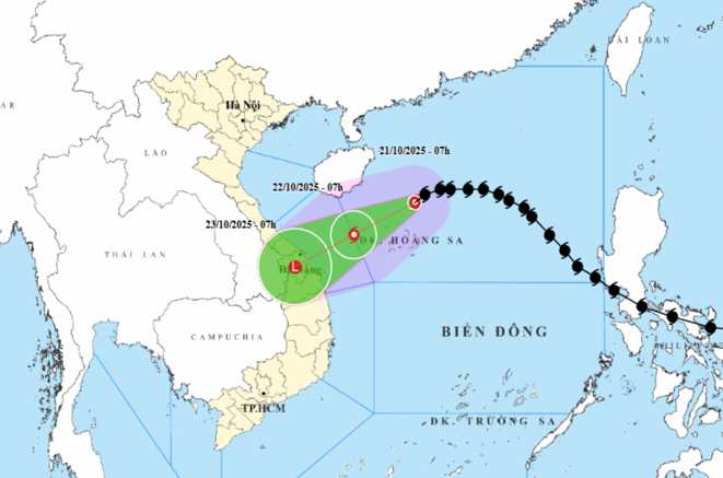
At 7:00 a.m. on October 23, the storm moved southwest at a speed of 10 km/h, entering the mainland of Da Nang - Quang Ngai. At this time, storm No. 12 will gradually weaken into a tropical depression and then a low pressure area (under level6). Disaster risk level: Level 3 for the area from South Quang Tri to Quang Ngai, including Ly Son.
Due to the influence of storm No. 12, the North East Sea area (including Hoang Sa) has strong winds of level 7-8, near the storm center level 9-10, gusting to level 12. Waves are 3-7m high, the sea is very rough.
From South Quang Tri to Quang Ngai (including Ly Son), there will be strong winds of level 6-7, near the storm center will be strong winds of level 8, gusts of level 10, waves 3-5m, and rough seas. Ships in the dangerous area will face thunderstorms, whirlwinds, strong winds, and large waves.
On land, from the night of October 22-27, due to the storm circulation combining cold air and East wind, the area from Ha Tinh to Quang Ngai will have widespread heavy rain. The Ha Tinh - Bac Quang Tri and Quang Ngai areas will have rainfall of 200-400mm, some places will have more than 500mm.
The area from the south of Quang Tri - Da Nang province will have rainfall of 500-700mm, some places over 900mm. Risk of flash floods, landslides in mountainous areas; flooding in low-lying areas and urban areas. Localities need to ensure the safety of reservoirs, hydropower plants, irrigation works, proactively respond to floods that meet or exceed alert level 3. Flood risk level: Level 3.
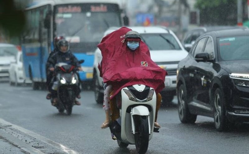
People and tourists planning to visit these areas should pay attention to weather forecasts. Check your flight schedule and avoid going out during heavy rains and winds to ensure safety.