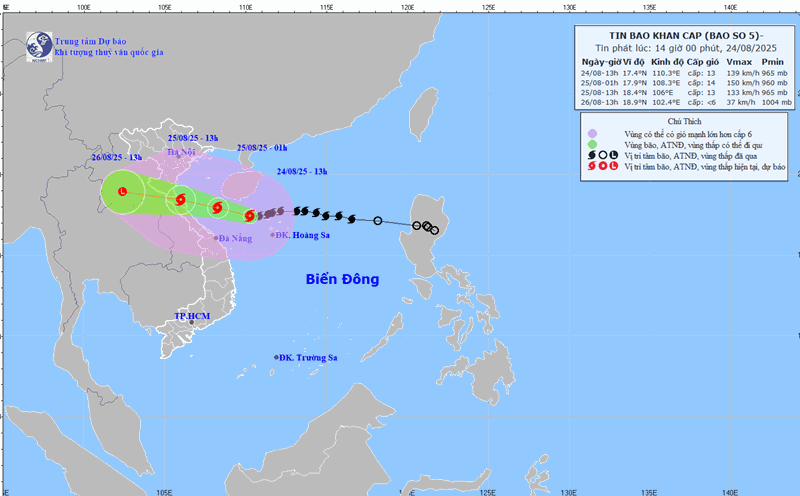
According to the latest storm news from the Weather Forecast Center at 07:00 on August 25, the center of storm No. 5 Kajiki is at 18.4 degrees North latitude - 107.2 degrees East longitude, 145km east of Ha Tinh. The strongest wind near the storm center is level 14 (150-166km/h), gusting to level 17. The storm is moving west-northwest at a speed of 20km/h.
Due to the impact of storm No. 5, in Bach Long Vi, there were strong winds of level 7, gusting to level 9; Co To level 6, gusting to level 9; Bai Chay level 6, gusting to level 8; Hon Ngu level 7, gusting to level 9; Con Co level 6, gusting to level 8.
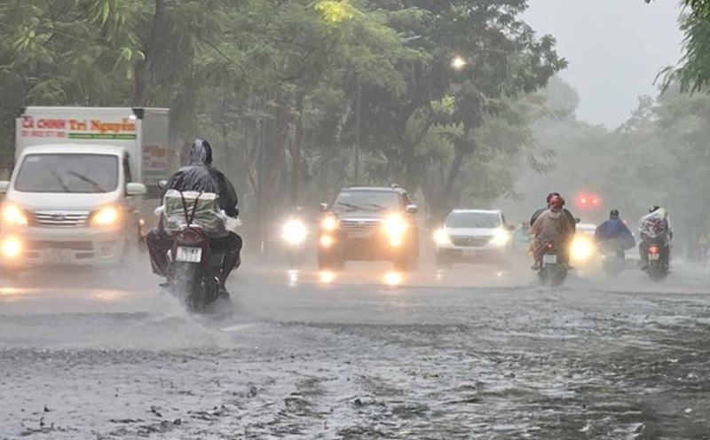
Ha Tinh - Quang Tri provinces have had moderate rain, heavy rain, and some places have had very heavy rain over 150mm.

It is forecasted that by 1:00 p.m. on August 25, the storm will move in a West-Northwest direction at a speed of about 20 km/h. The center of the storm is located at about 18.6 degrees North latitude - 106.3 degrees East longitude, in the waters of Thanh Hoa - Ha Tinh provinces
The strongest wind near the storm center is level 13-14, gusting to level 16. Natural disaster risk level: level 3 for the northern part of the Gulf of Tonkin, the sea area from Thanh Hoa to Quang Tri (including Hon Ngu island, Con Co special area), level 4 for coastal waters and mainland provinces from South Thanh Hoa to North Ha Tinh.
It is forecasted that by 7:00 p.m. on August 25, the storm will move in a West-Northwest direction at a speed of about 20km/h. The center of the storm is located at about 18.8 degrees North latitude - 105.5 degrees East longitude, on the mainland of Thanh Hoa - Ha Tinh provinces.
The strongest wind near the storm center is level 10-11, gusting to level 14. Natural disaster risk level: level 3 for the northern part of the Gulf of Tonkin, the sea area from Thanh Hoa to Quang Tri (including Hon Ngu island, Con Co special area), level 4 for coastal waters and mainland provinces from South Thanh Hoa to North Ha Tinh
At 7:00 a.m. on August 26, the storm moved in a West-Northwest direction at a speed of about 20km/h, gradually weakening into a tropical depression.
Storm No. 5 caused the sea area from Thanh Hoa to Quang Tri (including Hon Ngu, Con Co) to have strong winds of level 8-11, near the center of the storm 12-14, gusting to 17. Waves 5-7m high, the center of the storm 8-10m, the sea is rough.
The northern area of the Gulf of Tonkin will have winds of level 6-7, gusting to 9, while the southern area of the North of the Gulf of Tonkin (Bach Long Vi) will have winds of level 8-9, gusting to 11. Waves are 3-5m high, the sea is very rough.
The Hai Phong - Northern Quang Tri sea area has water level rising 0.5-1.8m; Thanh Hoa - Nghe An 1.0-1.8m. Water level (some stations) in Hon Dau 3.5-4.0m; Sam Son 3.7-4.2m; Hon Ngu 3.5-4.0m; Cua Nhuong 2.2-2.000m. High risk of flooding dykes, coastal roads, and river mouths in the evening of August 25.
On land, the northern area of Thanh Hoa has strong winds of level 8-9, gusting to level 10-11. In the South of Thanh Hoa - North of Ha Tinh, there will be strong winds of level 10-11, near the center of the storm, strong winds of level 12-14, gusting to level 15-16. In the South of Ha Tinh - Quang Tri, along the coast of Quang Ninh - Ninh Binh, there will be strong winds of level 6-8, gusting to level 9-10.
From August 25-26, the midlands and deltas of the North, Lao Cai, Thanh Hoa - Hue will have rainfall of 100-150mm, locally over 250mm. The area from Thanh Hoa to North Quang Tri will have rainfall of 200-400mm, locally over 600mm.
The Hanoi area will have moderate rain, heavy rain, and thunderstorms. Da Nang area has moderate rain, thunderstorms. Ho Chi Minh City will have showers and thunderstorms (concentrated in the late afternoon). Upper and Central Laos will have rainfall of 100-250mm, locally over 500mm.
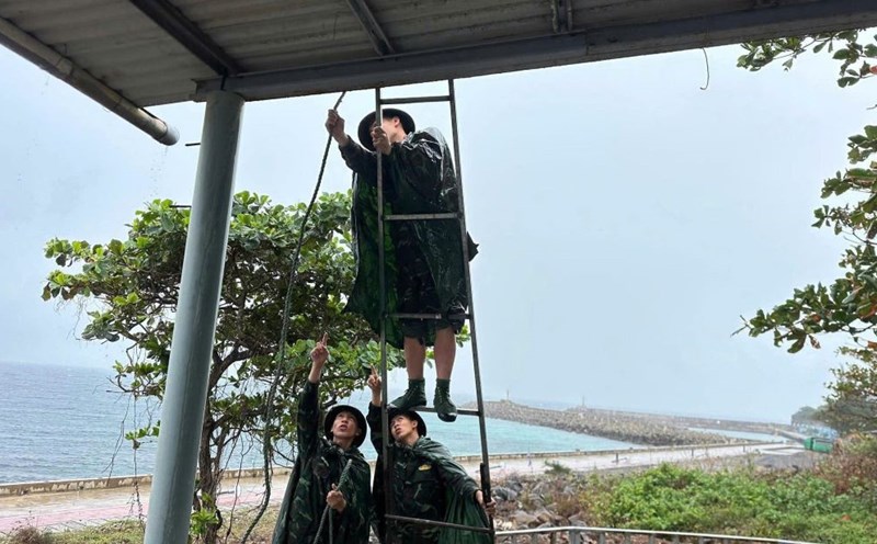
People and tourists in areas where the storm has passed should pay attention to weather forecasts and avoid going out during heavy rain and thunderstorms. Check flight schedules and follow local instructions to avoid impactful storms.


