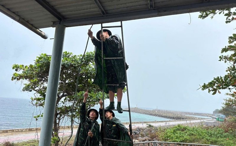
According to the latest storm news from the National Center for Hydro-Meteorological Forecasting, storm No. 5 Kajiki is in the northwest sea of Hoang Sa province; 520km from Nghe An, 500km from Ha Tinh, 430km from Bac Quang Tri.
Forecast of the development of storm No. 5 Kajiki until 1:00 a.m. on August 25: the center of the storm is at about 17.9°N - 108.3°E (Southern Gulf of Tonkin), 260km from Nghe An, 230km from Ha Tinh, 180km from North Quang Tri. Wind level 13-14, gust 16 (184 - 201km/h).
Risk level: Level 3 (Western sea area of the North East Sea, Gulf of Tonkin, South Quang Tri - Hue sea); Level 4 (Thanh Hoa - Quang Tri sea).
At 1:00 p.m. on August 25, the center of storm No. 5 Kajiki was at about 18.4°N - 106.0°E (in the coastal waters of Thanh Hoa - Quang Tri). Wind level 12-13, gust 15.
Risk level: Level 3 (Western sea area of the North East Sea, Gulf of Tonkin, South Quang Tri - Hue sea); Level 4 (Thanh Hoa - Quang Tri sea area, Thanh Hoa - North Quang Tri mainland).
It is forecasted that by 1:00 p.m. on August 26, the storm will be at about 18.9°N - 102.4°E (Central Laos). Weakness below level 6.
Risk level: Level 3 (Bac Mekong Bay, South China Sea - Hue); Level 4 (Thanh Hoa - Quang Tri sea, Thanh Hoa - North China sea).
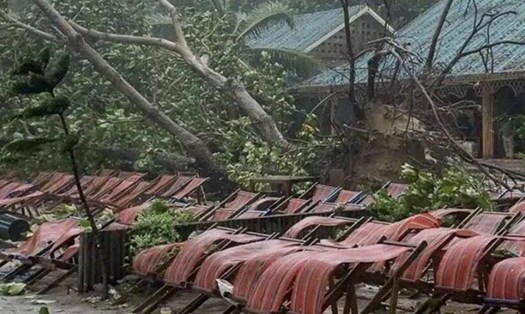
The impact forecast shows that the storm will seriously affect the sea and land.
At sea, the sea area west of the North East Sea (including Hoang Sa) will have strong winds of level 9-11, near the center of the storm level 12-14, gusting to level6; Waves 5-7m high, near the center of the storm 8-10m.
The sea area from Thanh Hoa to Hue will have winds of level 7-9, increasing to level 10-11, near the storm center level 12-14, gusting to level6; Waves 5-7m high, near the storm center 8-10m. In the North of the Gulf of Tonkin, the wind is level 6-7, gusting to level 9; in the South (Bach Long Vi), the wind is strong at level 8-9, gusting to level11, waves are 2.5-4.5m high.
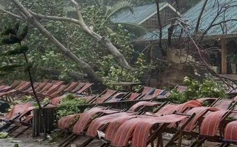
The sea and coastal areas during this period are warned of being extremely dangerous for ships, cages and coastal works.
The water level in the coastal area from Hai Phong to Bac Quang Tri is 0.5-1.5m. The expected high water level in Hon Dau is 3.3-3.8m; Sam Son is 3.2,4m; Hon Ngu is 3.2,3 1,6m, causing a high risk of flooding in low-lying areas and river mouths on the evening of August 25.
On land, from the night of August 24, the Thanh Hoa to Quang Tri area will have strong winds of level 8-10, near the storm center of level 11-13, gusting to level 14-15. The area from Quang Ninh to Ninh Binh has winds of level 6-8, gusting to level 9.
Heavy rain is expected to occur from August 24 to 26 in the Northern Midlands and Delta, Lao Cai, Thanh Hoa to Hue with common rainfall of 100-150mm, some places over 250mm.
In particular, the area from Thanh Hoa to North Quang Tri will have very heavy rain, 200-400mm, some places will exceed 700mm; there is a risk of extremely heavy rain over 200mm in 3 hours. Hanoi and Da Nang will have moderate to heavy rain, while Ho Chi Minh City will have thunderstorms in the evening.
From August 25 to 27, the Upper and Central Laos regions will also have heavy rain of 100-250mm, some places exceeding 500mm.
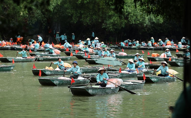
Tourists absolutely must not take boats, canoes or participate in sea activities in the area from Quang Ninh to Quang Tri, especially the sea area of Thanh Hoa - Hue and the Gulf of Tonkin, due to large waves and very dangerous gusts of wind.
Coastal tourist areas, islands, and river mouths are at high risk of flooding on the evening of August 25, tourists should limit travel and follow the instructions of the authorities and functional forces.
Closely monitor weather forecast information, adjust travel plans, avoid traveling to the Central region from Thanh Hoa to Quang Tri during the time of direct impact of the storm.
Destinations in the North and Central regions are likely to have very heavy rain, with the risk of landslides, flash floods, and traffic jams; Hanoi and Da Nang will also have heavy rain, so raincoats should be brought, ensuring safe travel time.
For tourists in Ho Chi Minh City, there will still be thunderstorms in the evening, so they should limit outdoor activities and monitor local weather warnings.

