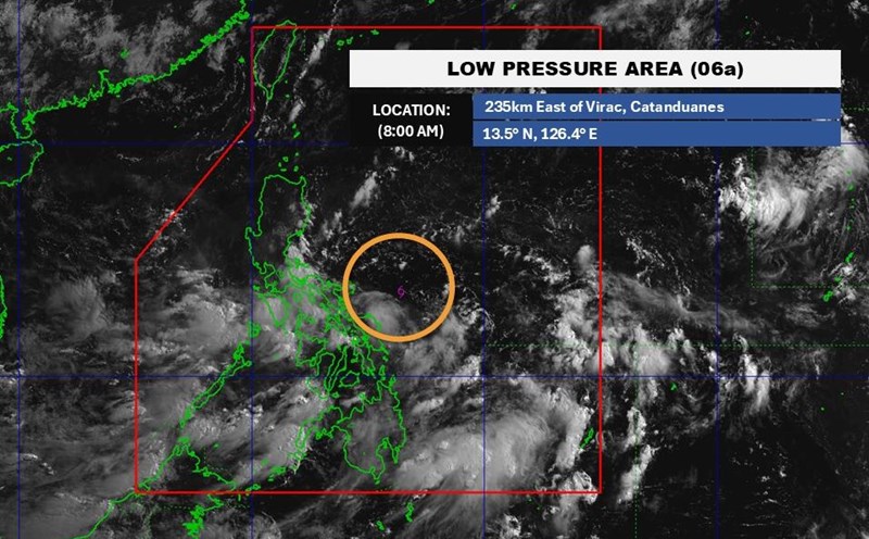
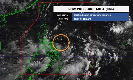
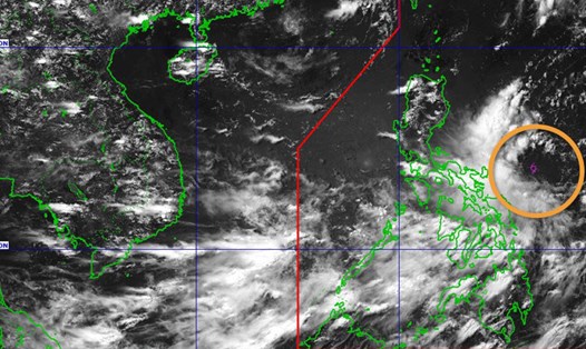
According to the latest weather forecast from the Philippine Atmospheric, Geophysical and Astronomical Services Administration ( pagasa), as of 8:00 p.m. on June 8 (local time), the center of the low pressure was located at about 17.7 degrees North latitude, 120.2 degrees East longitude, in the coastal waters of San Fernando, La Union, about 265 km northwest of Baler, Aurora.
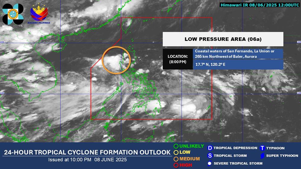
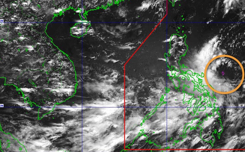
The low pressure is located in the Philippine Area of Responsibility (PAR), likely to enter the East Sea. The Philippine Meteorological Agency forecasts that the low pressure has an average probability of becoming a tropical depression in the next 24 hours.
Due to the influence of the low pressure, from the afternoon of June 9 to 10, 50-100mm of rain will appear in Aurora, Quezon, Camarines Norte, and Camarines Sur.
From the afternoon of June 10-11, the Pangasinan region of the Philippines will have rain from 50-100mm.
According to the National Center for Hydro-Meteorological Forecasting, the Gulf of Tonkin will have scattered showers and thunderstorms, with a long view of over 10km. Male wind level 3-4, waves 0.5 - 1.5m high.
The northern East Sea area will have scattered showers and thunderstorms, with a distance of over 10km. Light wind. Waves are 1.0 - 2.0m high.
In the coming days, due to the influence of the low pressure area, the weather at sea and coastal areas may be complicated, especially heavy rain, thunderstorms and strong gusts of wind.
Tourists planning to travel by sea or to coastal provinces such as Quang Ninh, Hai Phong, Thanh Hoa, Quang Nam, Khanh Hoa... should closely monitor weather forecasts and follow the instructions of local authorities to ensure safety. Outdoor activities, island tours, diving... should be carefully considered during thunderstorms.
Pagasa said one or two tropical storms are expected to form in or enter the PAR in June. In the next six months, the country could see 11 to 19 tropical storms.
The National Center for Hydro-Meteorological Forecasting predicts that in the next 6 months, storms and tropical depressions will operate in the East Sea and affect the mainland at a level close to the average of many years (TBNN in the East Sea: 11.0 storms), (TBNN making landfall: 4.9 storms). The national rainfall during this period is approximately the average of many years.