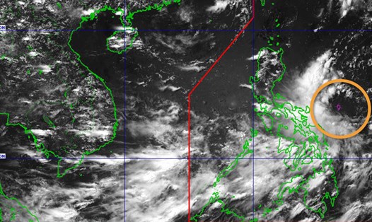
According to the latest weather forecast from the Philippine Atmospheric, Geophysical and Astronomical Services Administration ( pagasa), as of 8:00 a.m. on June 7, the low pressure area near the East Sea, which is being monitored in the Philippine Area of Responsibility (PAR), is showing signs of strengthening. The low pressure is likely to develop into a tropical depression at an average level in the next 24 hours.
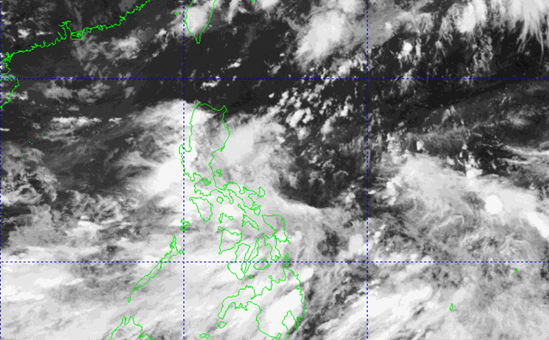
The center of the low pressure at 10:00 a.m. on June 7 (local time) was at about 13.5 degrees North latitude, 126.4 degrees East longitude. The low pressure is located about 235 km east of Virac (Catanduanes).
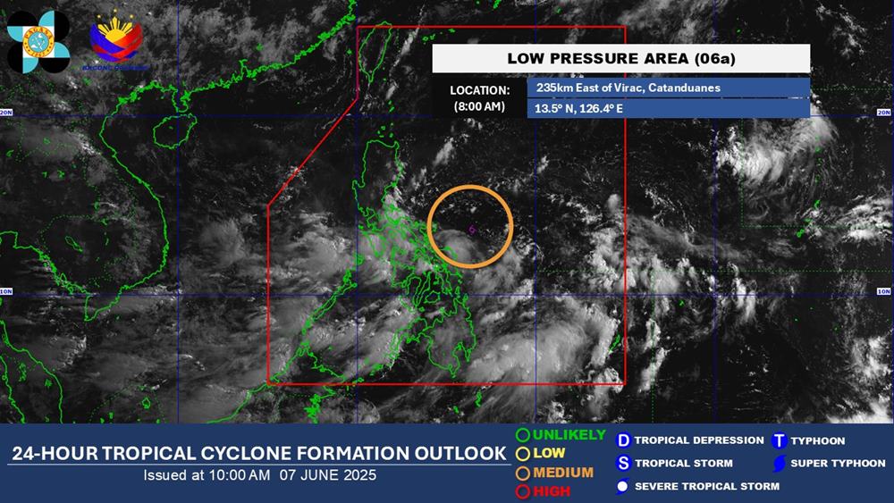
Pagasa weather expert Grace Castañeda said that even if it becomes a tropical depression in the next 24 hours, this weather system is unlikely to make landfall in any area of the Philippines.
However, the low pressure will continue to bring heavy rain to some areas of the Philippines in the next few days. Accordingly, from now until the afternoon of June 8, the areas of Quezon, Camarines Norte, Camarines Sur, Catanduanes, Albay, Sorsogon, Masbate, Northern Samar and Eastern Samar of the Philippines will receive rainfall of about 50-100mm.
After that, the influence of the depression will gradually decrease. From the afternoon of June 9, rain will only last in Quezon, Camarines Norte, Camarines Sur, Catanduanes, Albay, Sorsogon, Masbate, and Northern Samar.
By the afternoon of June 10, Camarines Norte, Camarines Sur, Catanduanes, Albay, Sorsogon and Masbate will still have 50-100mm of rain.
Tourists visiting and traveling to the Philippines during this time should pay attention to weather forecasts to have a suitable plan, ensuring a smooth trip.
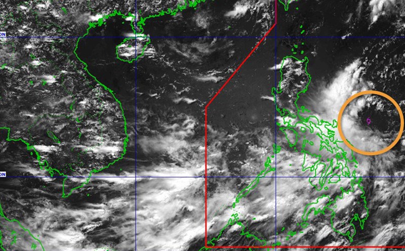
In addition, the low pressure area that has strengthened into a tropical depression is forecast to continue to strengthen into a tropical storm. At that time, this could be the number 1 storm entering the East Sea this year.
Currently, the low pressure has not greatly affected the weather in the sea and inland areas of Vietnam.
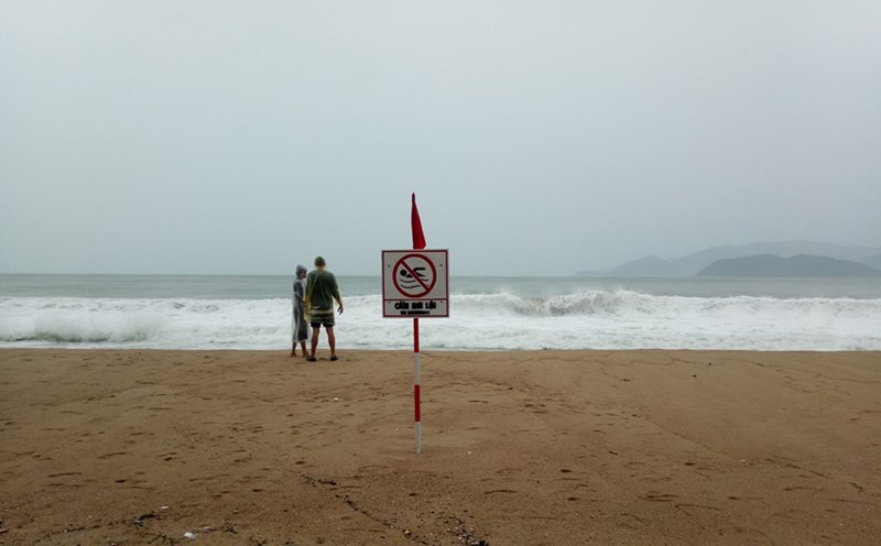
According to the latest forecast from the National Center for Hydro-Meteorological Forecasting, currently (6.), the Central and South East Sea (including the Truong Sa archipelago), the sea area from Binh Thuan to Ca Mau will have scattered showers and thunderstorms.
During the day and night of June 7, the Central and South East Sea (including the Truong Sa archipelago), the sea from Binh Thuan to Ca Mau, Ca Mau to Kien Giang and the Gulf of Thailand will continue to have scattered showers and thunderstorms.
During thunderstorms, there is a possibility of tornadoes, strong gusts of wind of level 6-7, waves over 2.0m high.