According to the Joint Typhoon Warning Center (JTWC), this morning, December 18, Typhoon Bakung weakened into a tropical depression in the waters of the East Indian Ocean.
The center of the depression is located 613 km northwest of the Cocos Islands. In the past 6 hours, the tropical depression has been moving north-northeast at a speed of 9 km/h. The maximum significant wave height is 4.3 m.
The strongest wind near the center of the tropical depression reached 45 km/h, gusting up to 55 km/h. The low pressure will move northwestward over the next 24 hours and gradually weaken.
Meanwhile, two other tropical depressions are active outside the East Sea.
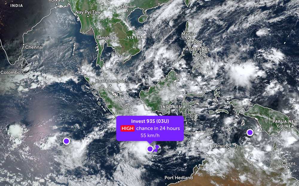
Accordingly, tropical depression Invest 93S is located south of Java Island, Indonesia.
The strongest wind near the center of the tropical depression reached 55 km/h. This system is likely to develop into a tropical storm within the next 24 hours.
Tropical depression Invest 95S is in the Arafura Sea. The strongest wind near the center of the tropical depression will remain at 30 km/h. This system has a low chance of developing into a tropical storm in the next 24 hours.
In the East Sea, according to the National Center for Hydro-Meteorological Forecasting, the North East Sea area, including Hoang Sa special zone, on December 18 will have strong northeast winds of level 6, while the Northeast will have strong winds of level 7, gusting to level 8-9; rough seas, waves from 3.0 to 5.0m high. By night, the wind tends to decrease.
The sea area from Khanh Hoa to Ca Mau and the western sea area of the South China Sea, including the western sea area of Truong Sa province, has strong northeast winds of level 6, gusting to level 7-8; rough seas, waves from 2.0 to 4.0m high.
In addition, during the day and night of December 18, the Central and South East Sea, including the Truong Sa special zone, will have scattered showers and thunderstorms. During thunderstorms, there is a possibility of tornadoes and strong gusts of wind.
On December 19, the northeastern sea area of the North East Sea will have strong northeast winds of level 6, gusting to level 7-8; rough seas, waves from 2.0 to 4.0m high.
The sea area from Khanh Hoa to Ca Mau and the western sea area of the South China Sea, including the western sea area of Truong Sa province, has strong northeast winds of level 5, sometimes level 6, gusting to level 7-8; rough seas, waves from 2.0 to 3.0m high.
All ships operating in the above areas are at high risk of being affected by strong winds and large waves.
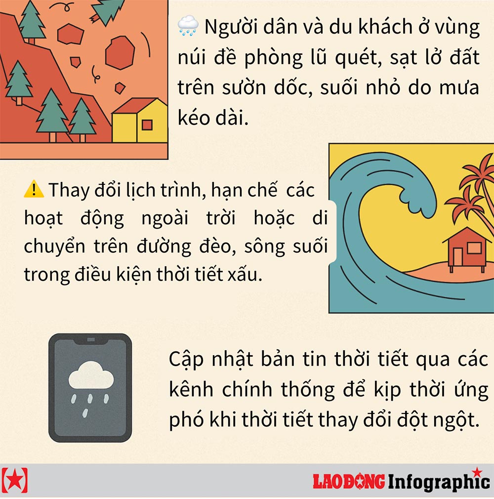
People and tourists planning to visit these coastal areas should pay attention to weather forecasts. Follow local instructions to avoid storms and large waves at sea that are dangerous.