According to the latest storm forecast from the Philippine Atmospheric, Geophysical and Astronomical Services Administration (PAGASA), a low pressure is likely to develop into a storm, pass through the Philippines and enter the East Sea in October.
Accordingly, during the period from October 13-19, this low pressure will form in the sea area east of the Philippine Area of Responsibility (PAR). The low pressure will then gradually move towards southern Luzon and is likely to strengthen into a storm.
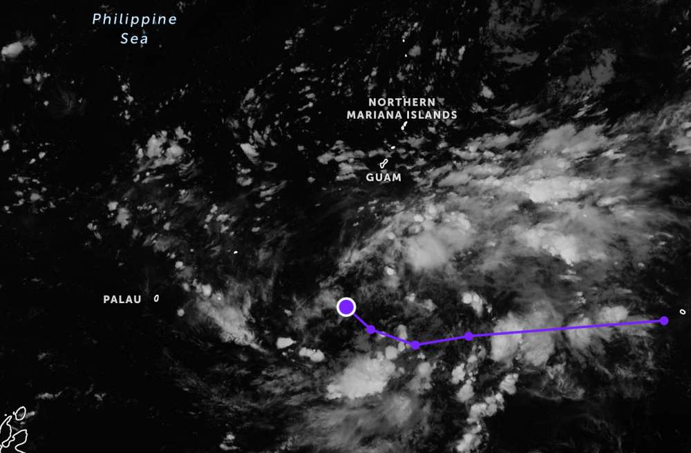
In the period from October 20-26, the storm will cross northern Luzon and enter the East Sea, heading towards the Gulf of Tonkin. The intensity of the storm continues to be maintained.
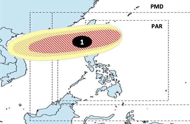
If it enters the East Sea, it will be the 12th storm of the year, right after storm No. 11 Matmo. Meanwhile, the storm is named after the Philippines as Ramil if it enters the country's Area of Responsibility (PAR).
According to the National Center for Hydro-Meteorological Forecasting, from October 10 to November 10 this year, there are about 2-3 storms likely to appear in the East Sea, of which 1-2 storms can directly affect the mainland of Vietnam (average of many years: In the East Sea, there are 1.8 storms, 0.8 storms make landfall in Vietnam).
The cold air continues to operate and tends to increase in frequency and intensity during the forecast period.
There is a possibility of widespread heavy rain in the early stages in the Northern region and Thanh Hoa and Nghe An provinces. In Ha Tinh - Quang Ngai provinces, during the forecast period, there may be some widespread heavy rains, other areas will have many days of showers and thunderstorms, locally moderate and heavy rain.
The activities of storms, tropical depressions, southwest monsoons and cold air can cause strong winds and large waves at sea, affecting the operation of ships and boats.
On land, heavy rain is at risk of causing floods, inundation in low-lying areas and landslides in mountainous areas.Thunderstorms, tornadoes, and lightning can have adverse impacts on production, life, and public health.
In the context of increasingly complex climate change, people and tourists should regularly update short-term forecasts and warnings (1-3 days) to proactively adjust production and tourism plans accordingly.