According to the warning and forecast for the hydrometeorological season nationwide in the next 6 months, hot weather will appear widely in May, lasting until August in the North and Central regions. The intensity is equivalent to the average of many years.
From June to July 2025, the heat will decrease in the Central Highlands and the South; continue in the North and Central regions until about August.
moderate rain, heavy rain occurred in the North, Central, Central Highlands, South, concentrated in May-September. Risk of local flooding, flooding in low-lying areas. The rainfall is approximately the same as the average, the Central Highlands and the South in May alone are 5-20% higher.
Thunderstorms, whirlwinds, lightning, hail, strong winds may appear scattered across the country, especially in the seasons or weak cold air. In the rainy season in 2025 (from June November), on the Dong Dong area, the possibility of 11-13 storms, tropical depressions, of which about 4-6 attacks affecting Vietnam (the average storm level for many years) with most storms focused in the second half of the storm season.
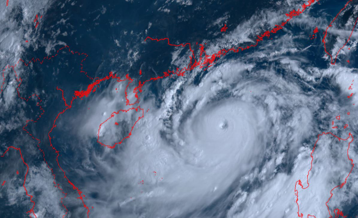
In particular, from May to July 2025, storms/tropical depressions are likely to operate in the East Sea and affect our country at a level approximately equal to the average (in the East Sea: 3.2 storms, making landfall: 1.2 storms).
In the Northern region, the flow will decrease sharply by 10-50%, with the possibility of minor floods in August-September. The Central region and the Central Highlands have many places with a flow rate lower than 20-70%, possibly 1-4 small floods.
In the South, the main flood season since June is the water level of the Mekong River upstream below the TBNN from 0.1-0.3m.
Thunderstorms, whirlwinds, lightning, hail, and strong gusts of wind may appear scattered across the country, especially during changing seasons or weak cold air. This has a great impact on traffic safety, production, electricity - water - agriculture.
The rainy and stormy season is approaching, the National Center for Hydro-Meteorological Forecasting recommends that people and tourists should closely monitor weather forecasts and warnings to promptly respond. Proactively plan to avoid prolonged hot weather, lack of water, thunderstorms, and local heavy rain.
Strengthen safety inspection of reservoirs and natural disaster prevention works; Ensure safety for tourism, transportation, production and ships at sea.


