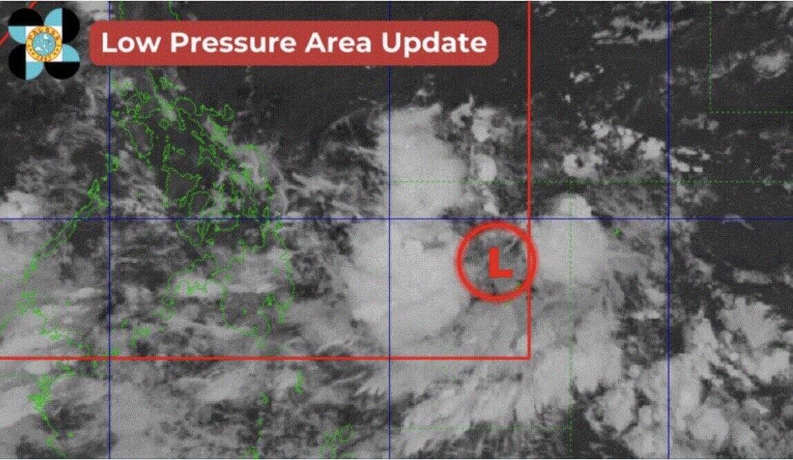
According to the latest storm forecast from the Philippine Atmospheric, Geophysical and Astronomical Services Administration (PAGASA), the newly formed low pressure near the East Sea has entered the Philippine forecast area (PAR) and is expected to strengthen into a storm.
The low pressure area is currently located about 695km east of Butuan City, Agusan del Norte.
The low pressure area was identified to have formed in Mindanao and entered the Philippine forecast area at 10 p.m. on August 30, when it was 930 kilometers east of Mindanao. PAGASA forecasts that the low pressure area has a high chance of strengthening into a tropical storm on August 31. Once it strengthens, the storm will be locally named "Enteng".
Typhoon Enteng is forecast to move northwest toward Eastern Visayas, but is not expected to make landfall in the Philippines.
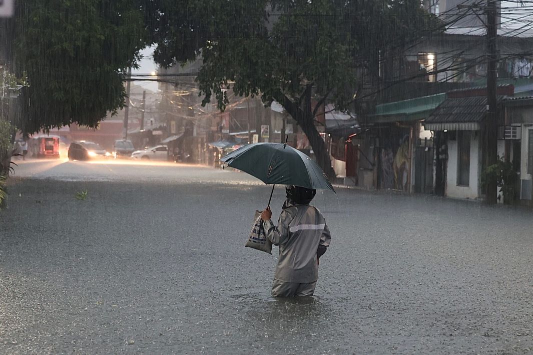
However, the storm may intensify the southwest monsoon (habagat) next week, especially in the provinces of Mimaropa, Western Visayas and Negros on September 1.
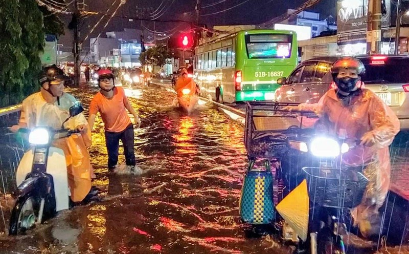
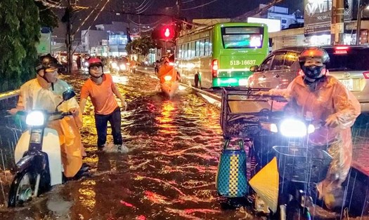
Weather forecasts indicate the possibility of severe thunderstorms in the afternoon and evening over Ilocos, Cordillera, Central Luzon, Calabarzon and most of Mindanao this weekend.
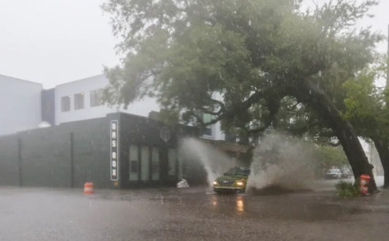
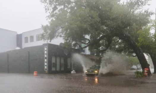
A low pressure trough near the South China Sea could bring heavy rains to Caraga and Central and Eastern Visayas by the morning of September 1, while Bicol will see heavy rains from noon on the same day. PAGASA warned of the risk of flooding and landslides in these areas.
Enteng is the fifth storm in the list of storm names used by PAGASA for the 2024 typhoon season in the Philippines. Previously, the four storms from the beginning of the season were Aghon, Butchoy, Carina and Dindo.
For travelers planning to visit the Philippines during this time, experts recommend regularly checking weather information from official sources such as PAGASA or local tourism agencies.
If you are planning to travel to areas likely to be affected by storms, you should consider adjusting your itinerary or postponing your trip if necessary.
In case the trip continues, visitors should prepare necessary items such as flashlights, spare batteries, drinking water and dry food in case of emergency.
Limit outdoor activities, especially those at sea or near the coast, during storms. Also, follow all warnings and instructions from local authorities and tourism authorities.