Tropical depression changes direction before entering the East Sea

Chí Long |

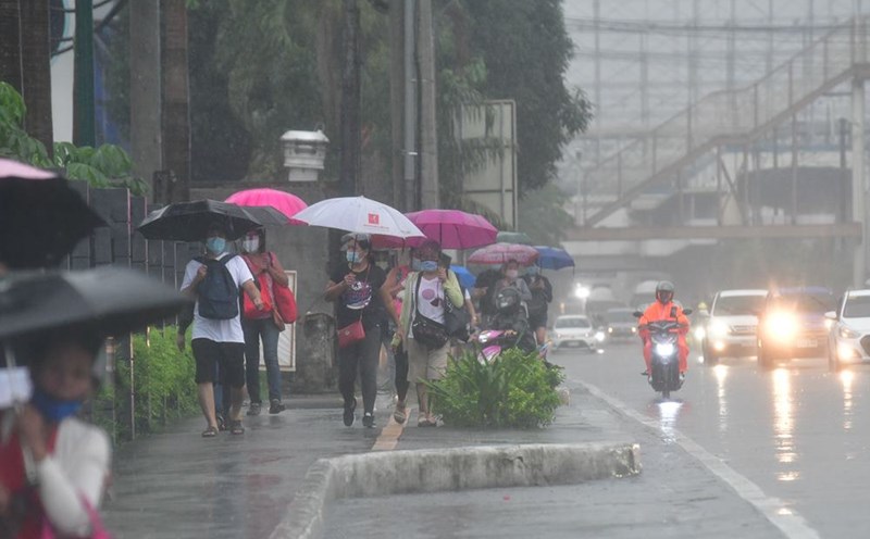
Tropical Depression Querubin continues to move within the Philippine Area of ​​Responsibility (PAR), and is likely to intensify as it enters the South China Sea.

According to the latest weather forecast from the Philippine Atmospheric, Geophysical and Astronomical Services Administration (PAGASA), at 11:00 a.m. on December 18 (local time), the center of tropical depression Querubin was located at about 8.5 degrees North latitude - 128.1 degrees East longitude, 195 km east of Hinatuan, Surigao del Sur.

The tropical depression is moving in a North-Northeast direction at a speed of 10 km/h. The strongest wind near the center of the depression remains at 45 km/h, with gusts of up to 55 km/h.
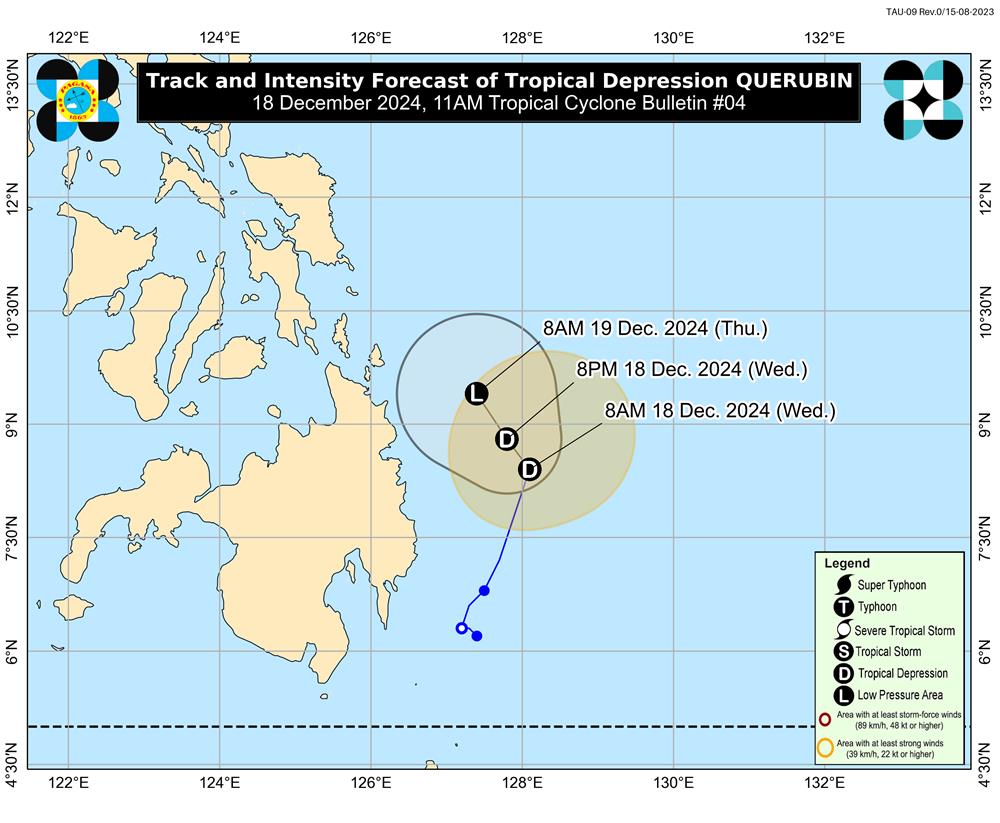
Cap nhat huong di moi nhat cua ap thap nhiet doi Querine
Update on the latest direction of tropical depression Querubin. Photo: PAGASA

The tropical depression is forecast to move mainly north-northwest or north across the sea east of Mindanao Island within the next 24 hours. During the same time, Querubin will weaken into a low pressure area.

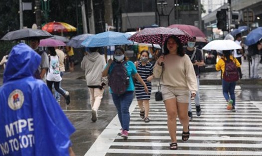
The tropical depression has the potential to bring heavy or intense rainfall to some areas in the Visayas and Mindanao, even those areas far from the tropical depression's projected path.

From December 19 to 22, this low pressure area will move over Mindanao, the Sulu Sea and Palawan. Due to low tropical low pressure circulation, the forecast track of the low pressure area may still change.

Despite the forecast weakening scenario, the low pressure area still has the potential to redevelop into a tropical depression as it enters the East Sea.

Travelers planning to travel to areas affected by tropical depression in the Philippines should pay attention to weather forecasts, airline announcements and arrange appropriate travel schedules to ensure safety.

Chí Long
TIN LIÊN QUAN

New forecast on the direction of tropical depression near the East Sea

|

A low pressure area has strengthened into Tropical Depression Querubin in the Philippine Area of ​​Responsibility (PAR).

Low pressure near the East Sea forecast to strengthen into a storm in the next 24 hours

|

According to the latest forecast, the low pressure area within the Philippine Area of ​​Responsibility (PAR) is expected to develop into a tropical storm within 24 hours.

Tropical depression likely to form near East Sea

|

Even though the typhoon season is over, low pressure and tropical depressions are still likely to form in the Philippine Area of ​​Responsibility (PAR) and the South China Sea.

New forecast on the direction of tropical depression near the East Sea

Chí Long |

A low pressure area has strengthened into Tropical Depression Querubin in the Philippine Area of ​​Responsibility (PAR).

Low pressure near the East Sea forecast to strengthen into a storm in the next 24 hours

Chí Long |

According to the latest forecast, the low pressure area within the Philippine Area of ​​Responsibility (PAR) is expected to develop into a tropical storm within 24 hours.

Tropical depression likely to form near East Sea

Chí Long |

Even though the typhoon season is over, low pressure and tropical depressions are still likely to form in the Philippine Area of ​​Responsibility (PAR) and the South China Sea.