According to the latest weather bulletin of the Philippine Atmospheric, Geophysical and Astronomical Services Administration (PAGASA), the low pressure area in Eastern Visayas has developed into a new tropical depression named Enteng.
PAGASA estimated the center of the depression is currently 120 kilometers northeast of Borongan City, Eastern Samar or 150 kilometers east of Catarman, Northern Samar. Enteng is moving northwest at 30 kilometers per hour, with maximum sustained winds of 45 kilometers per hour near the center, gusting to 55 kilometers per hour.
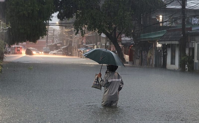
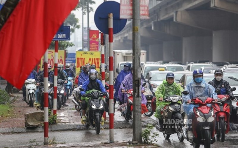
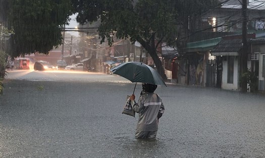
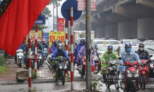
Over the next 24 hours, the southwest monsoon is expected to intensify and bring moderate to heavy to very heavy rainfall over parts of Luzon and Visayas (especially along the western regions).
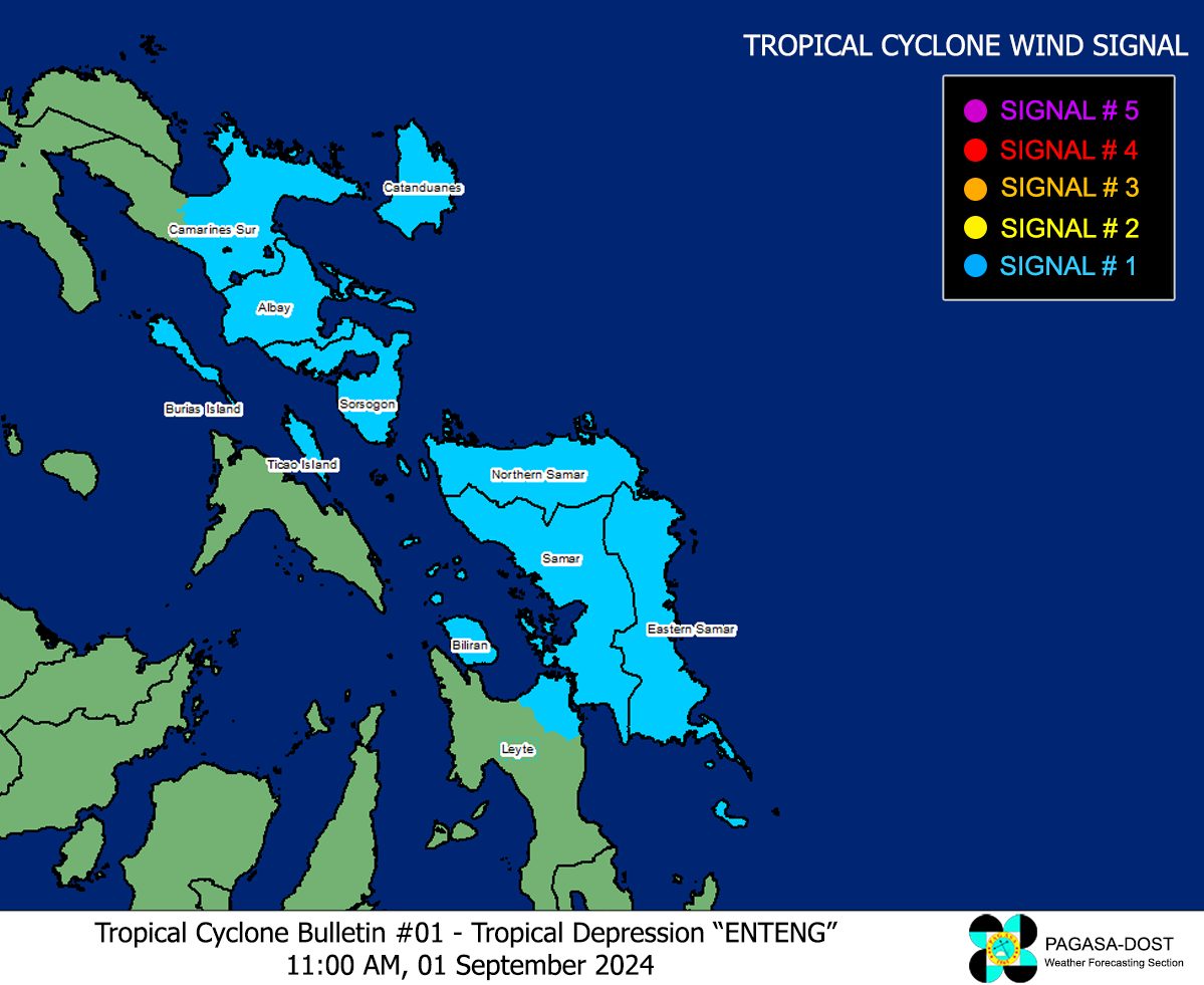
Heavy rains with rainfall of 100-200mm are forecast for Camarines Sur, Albay, Sorsogon, Masbate, Northern Samar, Samar, Eastern Samar and Biliran from September 1-2. Thunderstorms are likely to produce tornadoes, lightning and strong winds; beware of flash floods or landslides.
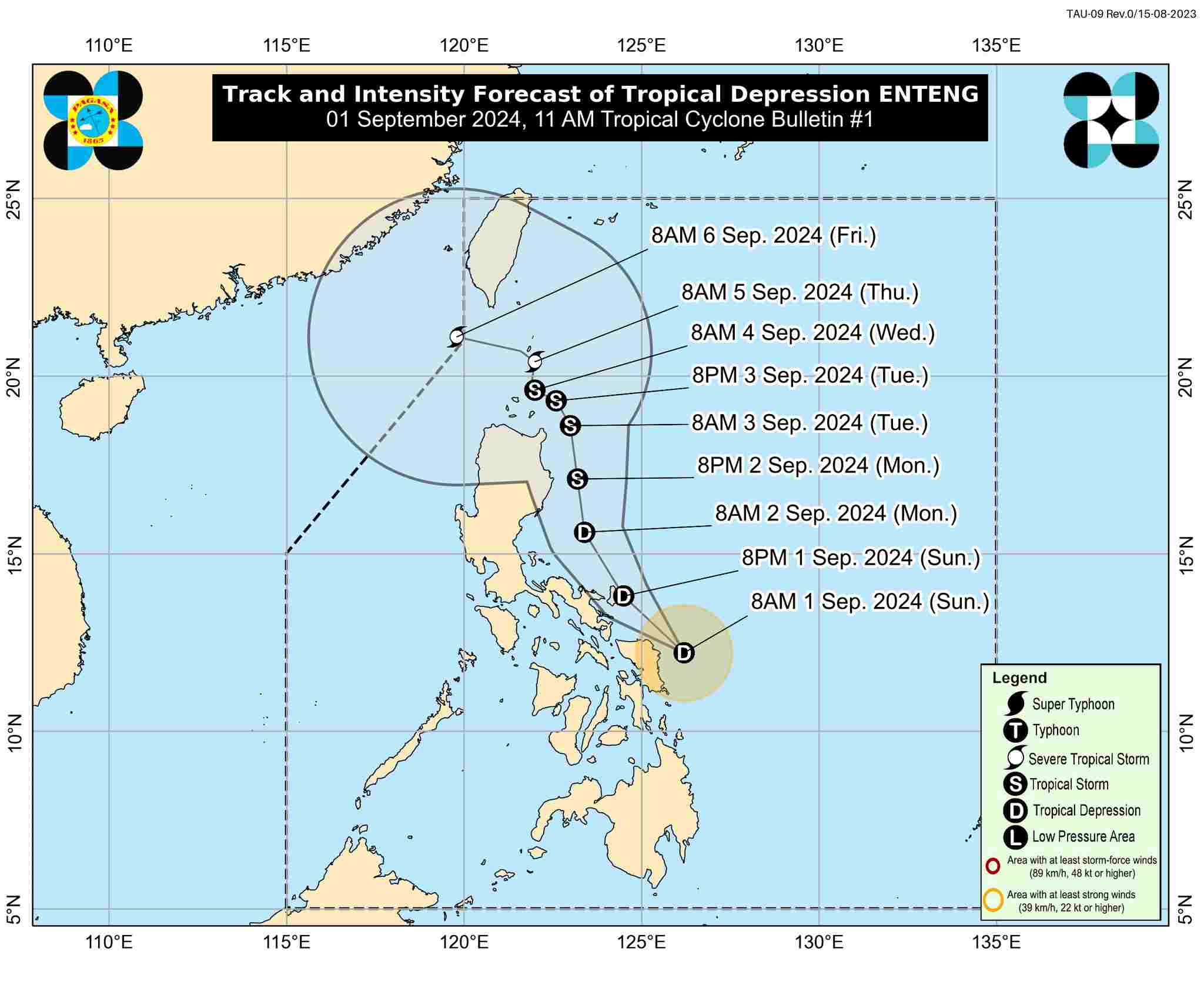
Enteng will move northwest today, then turn north on September 2 and is likely to intensify. Over the next 48 hours, the storm could make landfall in the Bicol and Eastern Visayas regions, bringing heavy rains, strong winds and high waves.
From September 3, Enteng will move erratically as it approaches or passes through the Luzon Strait. The storm may continue to strengthen and become a super typhoon by September 5.
The meteorological agency recommends that residents and tourists pay attention to weather forecast updates; proactively take necessary measures to protect life and property; and follow evacuation instructions from local authorities.