According to the National Center for Hydro-Meteorological Forecasting, due to the influence of storm No. 6, Con Co Island (Quang Tri) has strong winds of level 8, gusting to level 9; Cu Lao Cham Island (Quang Nam) has strong winds of level 8, gusting to level 10; Ly Son Island (Quang Ngai) has strong winds of level 6, gusting to level 7; Le Thuy (Quang Binh) has strong winds of level 7, gusting to level 9; Nam Dong (Thua Thien Hue) has strong winds of level 8, gusting to level 10; Cam Le (Da Nang) has strong winds of level 8, gusting to level 9; Son Tra (Da Nang) has strong winds of level 9, gusting to level 10.
On October 27, the area from Ha Tinh to Quang Nam had heavy to very heavy rain. Total rainfall from 7am to 10pm on October 27 was generally 100-300mm, locally over 400mm.
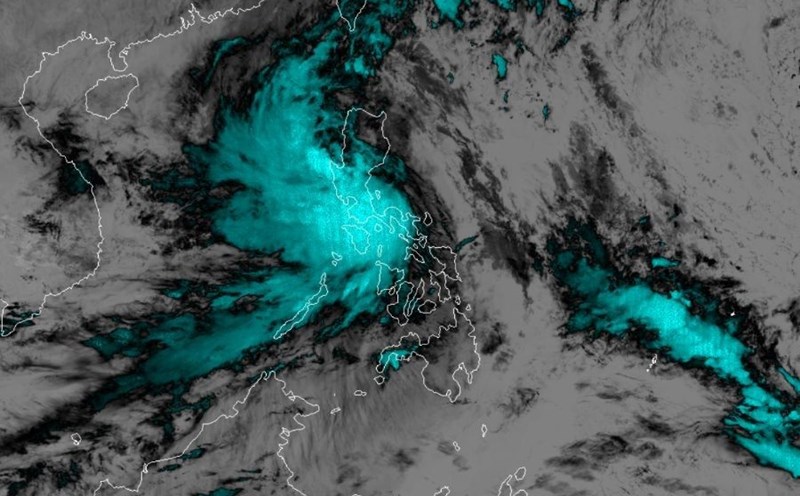
As of 10:00 p.m. on October 27, the center of the tropical depression was at about 15.6 degrees North latitude - 108.2 degrees East longitude, on the mainland of Thua Thien Hue, Quang Nam - Da Nang provinces. The strongest wind near the center of the tropical depression was level 6 (39-49 km/h), gusting to level 8. The depression moved slowly in a southeast direction, at a speed of about 3 km/h.
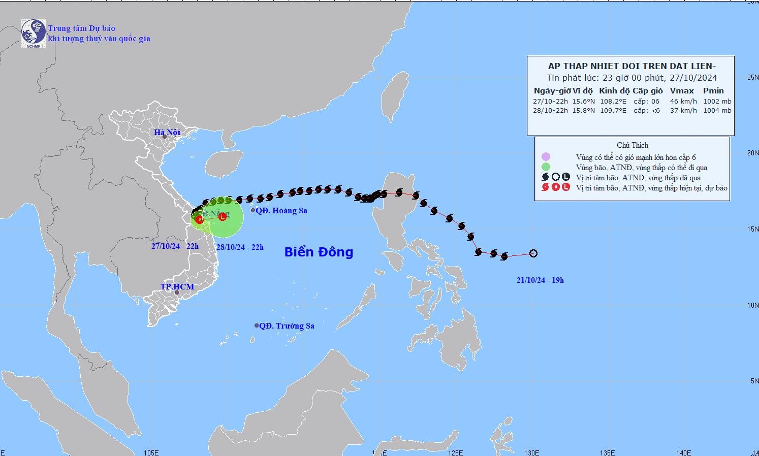
Forecast until 10pm on October 28, the tropical depression will move east at a speed of 5km/h, weakening into a low pressure area. The center of the low pressure is located at about 15.8 degrees North latitude - 109.7 degrees East longitude, over the sea of Thua Thien Hue - Quang Ngai. The strongest wind near the center of the tropical depression is below level 6. Risk level: level 3 for the Central Central sea area.
Under the influence of the tropical depression, on land from Quang Tri to Quang Nam there are gusts of wind level 6 - 8. The sea area of provinces from Quang Tri to Quang Ngai (including Con Co island, Cu Lao Cham) has strong winds level 6, gusts level 8, waves 2.0-4.0m high, rough sea.
It is forecasted that from the night of October 27 to the end of the night of October 28, in the area from South Ha Tinh to Thua Thien Hue, there will be heavy to very heavy rain with rainfall from 150-250mm, locally over 400mm; warning of the risk of local heavy rain (over 100mm/3 hours). The area from Da Nang to Quang Ngai and Kon Tum will have heavy rain, locally very heavy rain with rainfall from 50-100mm, locally over 180mm.
Given the complex weather conditions, tourists planning to travel to the Central region should monitor weather forecasts and update flight information. In addition, they should consider travel itineraries to the Central region or to the sea to avoid obstacles due to storms in the next few days.

