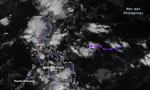
According to the latest report from the US National Hurricane Center (NHC), there are currently two weather systems being closely monitored in the North Atlantic and Caribbean regions.
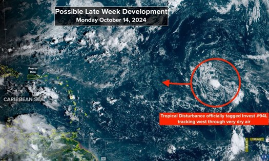
To the north of Puerto Rico, a trough of low pressure is bringing scattered showers and thunderstorms to the ocean several hundred miles north of Puerto Rico and the Virgin Islands.
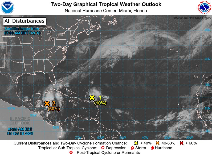
The system is moving rapidly west and west-northwest at approximately 20 mph (32 km/h). It is expected to continue to affect northern Puerto Rico and the Virgin Islands today, then move toward Hispaniola and the southeastern Bahamas by the weekend.
Experts predict that the possibility of developing into a storm in the next 48 hours and in the next 7 days is low (10%). The main reason is the impact of strong upper-level winds early next week.
A low pressure area is developing north of Honduras, bringing widespread showers and thunderstorms to the northwestern Caribbean. Environmental conditions are considered favorable for the development of this system over the next 1-2 days.
Meteorologists warn of a moderate chance of a tropical depression or short-term hurricane forming before the system makes landfall across Belize and Mexico's Yucatan Peninsula on Saturday. The chances of formation over both the next 48 hours and seven days are rated moderate (50%).
NHC also advised people in parts of Central America and southern Mexico to be especially vigilant and prepared for the risk of locally heavy rain throughout the weekend.
Given the unpredictable weather conditions, tourists planning to visit the above areas should pay attention to regularly monitoring weather forecasts and planning appropriate itineraries to ensure a safe and complete travel experience.


